Vesturland, or West Iceland, is one of the island’s eight traditional regions. Covering 9,554 square kilometres, it occupies the west coast of Iceland, bounded to the north by Gilsfjörður and Holtavörðuheiði, and to the south by Hvalfjörður. Out at sea lie two sheltered bays, Breiðafjörður and Faxaflói, while the Snæfellsnes peninsula forms the divide between them. Through history, the region has marked the border between the Westfjords and the northwest territories in the north, and the capital area and Southwest Iceland in the south.
Vesturland’s population has steadily increased, from 15,370 in 2010 to 17,541 in 2023, with local census figures noting 17,419 residents for 2024. The region contains both active industrial areas and sites central to Iceland’s medieval sagas, while supporting communities shaped by fishing, agriculture and growing industry.
Towns and villages: trade, fishing and history
Akranes sits about 50 kilometres north of Reykjavík on the coast. The town was first settled in the ninth century, becoming a chartered town in 1942. Fishing, a cement factory and an aluminium smelter are important to the local economy. Bergenadalur valley carves through the volcanic mountain of Akrafjall to the east of Akranes, whose two main peaks are Geirmundartindur (643 metres) and Háihnúkur (555 metres). Nearby, the sandy beach Langisandur runs along the seafront and the thermal pool Bjarnalaug is recorded at 64.3174 N, 22.0861 W in the municipality.
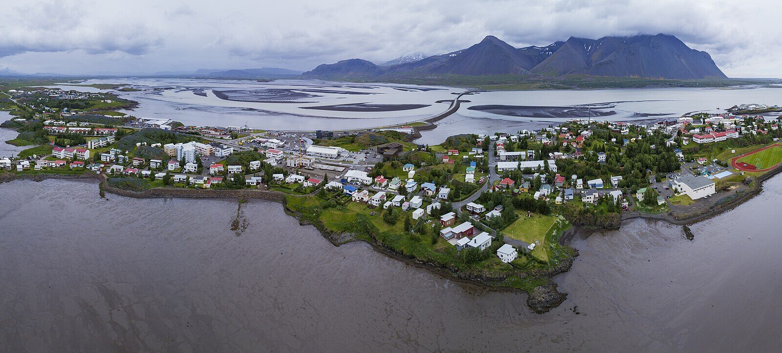
Borgarnes, now the largest town in Borgarbyggð with around 3,800 people, claims close ties to Egil’s Saga and the famous saga figure Egill Skallagrímsson. A major bridge over Borgarfjörður connects the town to Reykjavík. In Akranes, the Akranes Museum Centre, opened in 1959, displays historic buildings such as Garðar (Iceland’s oldest concrete house, built in 1876), and the 86-tonne ketch Sigurfari, the only ship of its type preserved in Iceland.
Stykkishólmur lies at the north of the Snæfellsnes peninsula. By the mid-16th century its harbour had become a central trading point. Today, a ferry links the town to the Westfjords and Flatey island.
Ólafsvík, on the same northern peninsula, received a royal licence for trading from Denmark in 1687. It is the westernmost settlement of its size in Europe according to figures from 2011 and 2024. Grundarfjörður, further east on Snæfellsnes, achieved official town status and trading rights in 1786. Around 1800, French merchants built both a church and hospital in Grundarfjörður.
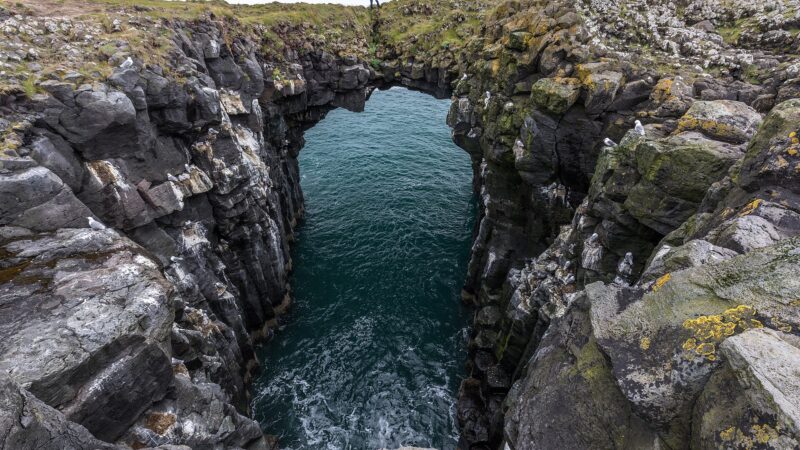
Along the south coast of Snæfellsnes, Hellnar ranks among the oldest fishing villages, with documentary references going back to the Middle Ages. In 1703 the settlement had 194 people and 38 buildings, balancing farming with fishing. Coastal rock formations include Valasnös, where a cave called Baðstofa is known for its changing colours with the tide. Arnarstapi, also on the peninsula and situated beneath Mt. Stapafell, was a major fishing and trading post under Danish monopoly from 1565 and still retains historical buildings such as the Amtmannshús, built in the 18th century.
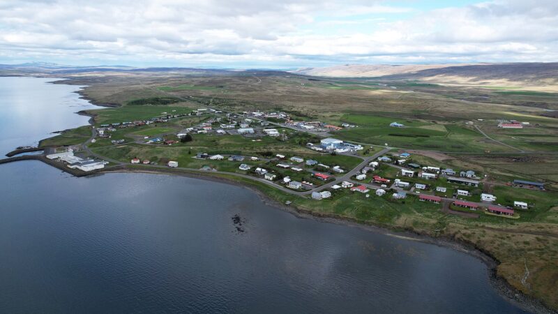
Búðardalur occupies the innermost point of Hvammsfjörður in the northwest. In 2024, it was home to 245 residents, and has long supported trade, educational and service roles for the valleys nearby. The small settlement of Reykholt, further inland in the valley of the Reykjadalsá river, was home to the 13th-century saga author Snorri Sturluson. Remains of his farm, pool and a tunnel are visible in Reykholt today.
Hvalfjarðarsveit, a municipality formed by merging four smaller communities in 2006, includes the Glymur waterfall, Iceland’s second highest. The Grundartangi industrial area here features large aluminium and ferrosilicon plants.
Mountains, volcanoes and natural features
The 1,446 metre Snæfellsjökull volcano rises from the tip of the Snæfellsnes peninsula, a glacier-topped peak whose eruptive history spans 700,000 years and includes more than 20 eruptions since the last glaciation. The surrounding national park, expanded to 183 square kilometres, protects the volcano and neighbouring landscapes.
Eiríksjökull tower reaches 1,675 metres and stretches over 22 square kilometres. It is built atop Iceland’s largest tuya (a table mountain formed by subglacial eruptions), and the underlying volcano is now dormant or extinct. Prestahnúkur rises to 1,223 metres and is another rhyolite tuya volcano named to recall a daring 17th-century priest-led expedition. Its fissure system extends up to 80 kilometres north and south.
The Helgrindur mountain range, north of Reykjavík on Snæfellsnes, consists of three main peaks: Böðvarskúla at 988 metres, Kaldnasaborgir at 986 metres, and Tröllkerling at 891 metres. The range forms a dividing line between Breiðafjörður bay and Faxaflói bay. Glacial processes carved the Berjadalur valley through nearby Akrafjall mountain.
In the valleys and lowlands, landscapes are shaped by fjords and rivers. Borgarfjörður fjord, with its entrance at 64.4932 N, 22.0253 W, connects with the Atlantic and is an important route in the region. The Hvítá bridge, designed by Icelandic engineer Árni Pálsson, has spanned 106 metres over the Hvítá river since 1928; this single-lane bridge served as a key north–south route until 1981. Hvalfjörður is about 30 kilometres long and 5 kilometres wide and is notable for hosting Iceland’s only whaling station. A World War II naval base was once located along its shores.
Hot springs, caves and saga sites
Vesturland is home to several geothermal features. Deildartunguhver, in Borgarbyggð, is the highest-flow hot spring in Europe (180 litres per second). Snorralaug, a pool in Skorradalshreppur and in use since the time of Snorri Sturluson, is also in the region. Guðrúnarlaug in Dalabyggð is named for Guðrún Ósvífrsdóttir from the Laxdæla saga.
The region’s cave systems are exemplified by Surtshellir, stretching nearly a mile. Recognised by researchers as Iceland’s first known lava tube, Surtshellir was the longest of its kind in the world until the late 19th century. The cave’s name refers to Surtr, the fire giant from Norse mythology.
History, literature and settlement
West Iceland is deeply connected to the Icelandic sagas. The open-air museum Eiríksstaðir marks the former home of Erik the Red and is likely the birthplace of Leif Eiríksson. Archaeological excavations have uncovered the turf-walled longhouse dating to the 9th or 10th century, about 14 metres in length. The site also preserves the remains of a women’s workroom (dyngja), where spindle whorls imported from elsewhere were found.
Barnafoss, meaning ‘Children’s Falls,’ is a waterfall on the Hvítá river, about 100 kilometres from Reykjavík. Local folktale gives the falls their name. The waterfall is located just above Hraunfossar and is shaped by the Hallmundarhraun lava field, reflecting the region’s geological past.
Sources
- Wikidata
- Wikipedia (English)
- Wikipedia (Icelandic) in Icelandic
Image: Chensiyuan / Wikimedia Commons (CC BY-SA 4.0) · licence, original (resized) Illustrative image.
Facts last reviewed 18 October 2026. Published 19 October 2026.