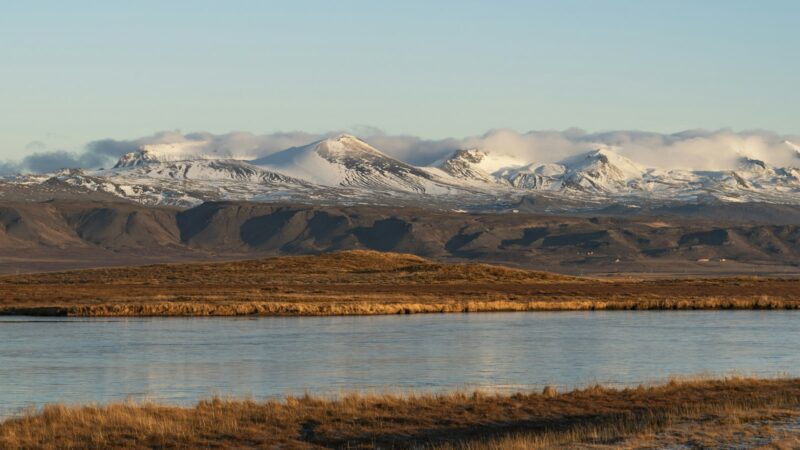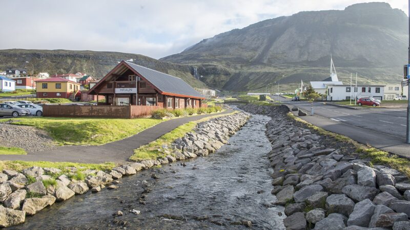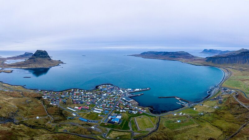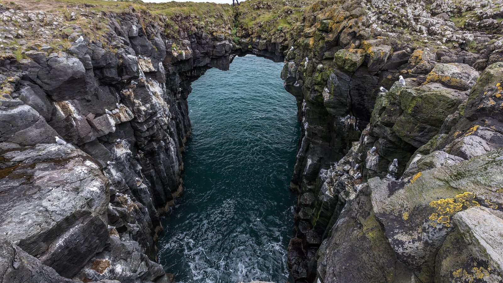
Located on the western edge of the Snæfellsnes Peninsula in West Iceland, Snæfellsbær is a municipality that brings together villages and expansive uninhabited areas. The region is defined by its coastal settlements, its roots in fisheries and farming, and its close relationship with both historical sites and striking natural features, making it a destination for fishing, hiking and nature-based visits.
A municipality bounded by coast and mountain
Snæfellsbær was formed in 1994 when Ólafsvík, Neshreppur, Breiðuvíkurhreppur, and Staðarsveit merged into one municipality (sveitarfélag). The official area of Snæfellsbær covers approximately 682 square kilometres, stretching from the west of Vegamót in Staðarsveit to Búlandshöfði in the north. The boundaries encircle a landscape dominated by both productive farmland and broad, unspoiled tracts of nature.
Census figures from the late 1990s and early 2000s indicate a stable population: 1,743 in 1998; 1,728 in 1999; 1,719 in 2000; and 1,734 in 2001. The administrative centre is Hellissandur, but most inhabitants live in three main villages: Ólafsvík (the largest), Hellissandur and Rif. Smaller settlements include Búðir, Hellnar, and Arnarstapi along the south-eastern coastline. The majority of the population is concentrated in these dense clusters, while the rest is spread throughout rural districts such as Fróðárhreppur, Breiðuvík, and Staðarsveit.
Connections and the role of the landscape
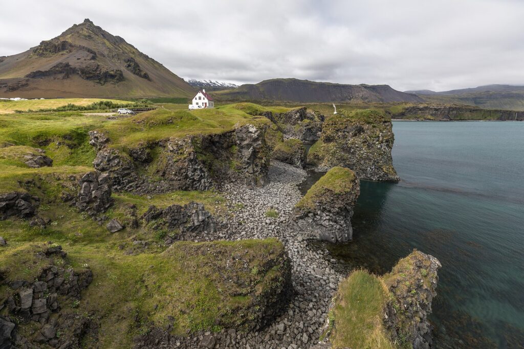
Various routes link Snæfellsbær to the rest of Iceland. Travellers arriving from Reykjavík commonly follow Route 54, then either cross Fróðárheiði to circle north around Snæfellsjökull, or take the Útnesvegur road, Route 574, which skirts the peninsula’s northern coast. The glacier and volcano Snæfellsjökull is a natural centre, visible across the municipality and a landmark in both orientation and folklore.
Several coastal spots stand out for their natural beauty and their local character. Búðir is valued especially for its golden beaches, contrasting lava fields, rich plant life, and abundant birdlife. Formerly a farm and church site, Búðir now has a hotel and remains a popular stop for those exploring the area, including hikers and nature enthusiasts.
Walking trails are a distinctive feature, providing access to sites such as Búðahraun, the lava field with a route called Klettsgata. The path is marked by visible hoof prints in the bedrock, testimony to centuries of local travel. Other routes like Jaðargatan lead along the basin’s edge, connecting with Klettsgatan and extending on to places like Frambúðir, where the ruins of old settlement life can still be found.
Villages shaped by fisheries and trade
Fishing is one of the mainstays of Snæfellsbær’s economy, together with agriculture. Ólafsvík is the largest village, but Hellissandur and Rif also function as important coastal communities. By the seashore at Gufuskálar stands the Hellissandur longwave radio mast. Near Rif, there is a small airfield.
The south coast settlement of Búðir formerly supported trading and fishing stations, with records of international merchants operating there in the sixteenth century. Outfitting for fishing boats continued at Búðir until 1933, and archaeological remains show evidence of local agriculture from earlier times. Routes such as those from Búðir to Frambúðir evoke the history of these trading outposts and their seasonal populations.
Arnarstapi and Hellnar are now best known as visitor destinations, but each has a past grounded in fishing. Smábátahöfn, the small boat harbour at Arnarstapi, is today the only one on the south side of Snæfellsnes and serves seasonal inshore boats, with some fishermen coming from distant parts of Iceland. The village has marked walking paths and a notable standing sculpture of Bárður Snæfellsás by Ragnar Kjartansson, referencing one of the peninsula’s legendary figures.
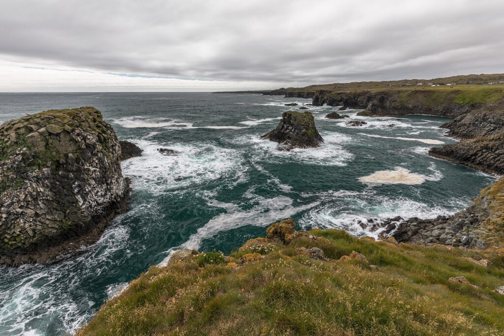
Hellnar, too, has a fishing heritage and a church dating to the late nineteenth century, with the present building consecrated in 1945. The coast at Hellnar features rock formations, including Valasnös and the sea cave Baðstofa, known for its changing colours depending on light and tides.
Nature reserves and historic landmarks
Several natural sites within the municipality are on Iceland’s nature conservation list. Bjarnarfoss, a waterfall above Búðir, can be reached by a marked path from a car park at the base of the slope. Its surroundings display basalt columns and flower meadows. Djúpalónssandur presents a coastline of distinctive pebble beaches and rock formations, including old fishing relics and traditional lifting stones, once used by fishermen to test their strength. Occasionally people try their hand at these stones, which weigh from 23 to 154 kg according to historic sources. Swimming at Djúpalónssandur is strictly forbidden due to deep water and powerful currents.
Other points of interest include Lóndrangar, the two basalt towers west of Hellnar. Once considered unclimbable, these volcanic plugs have become associated with local legend and are accessible by a marked trail from Malarrif. According to tradition, the higher tower was first climbed in 1735.
The area also supports a range of cultural life. For instance, there is a local brass band, Lúðrasveit Snæfellsbæjar, and a number of community projects have received support from the municipality.
Snæfellsbær is twinned with Vestmanna in the Faroe Islands, reflecting connections that reach beyond Iceland’s shores.
For more details or updates on local services, cultural activities, trails, and conservation guidelines, visitors can refer to the official municipal website (link below).
Sources
Image: Markus Trienke / Wikimedia Commons (CC BY-SA 2.0) · licence, original (resized) Illustrative image.
Facts last reviewed 22 October 2026. Published 22 October 2026.