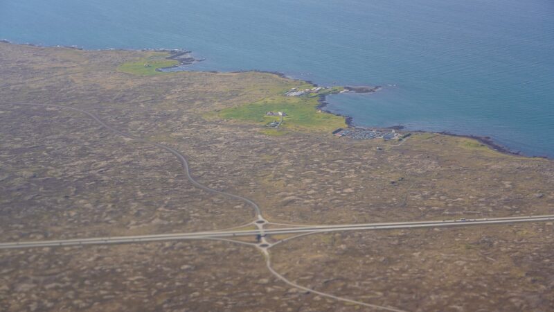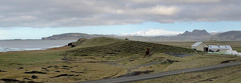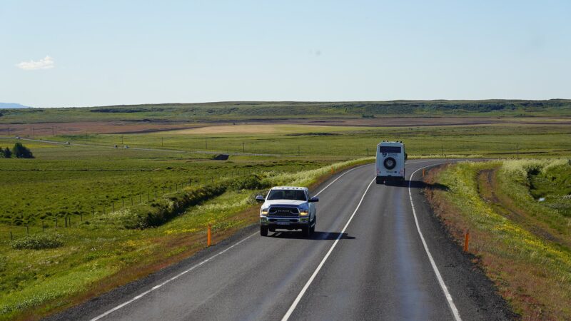
South Iceland (Icelandic: Suðurland) is a region characterized by stark contrasts, stretching from sea to highland, from ancient volcanoes to modern towns. The region’s population was 28,399 in 2020, rising to 34,076 by 2024, highlighting steady growth across its settlements. Spanning 24,256 square kilometres, it is one of Iceland’s largest and most geologically active regions. The regional centre is Selfoss, the largest town, with a population of 10,420 in 2025.
Towns, villages, and daily life on the edge of nature
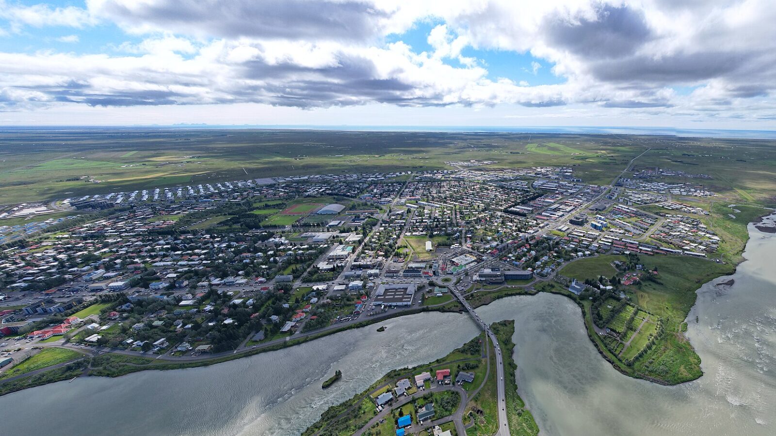
Selfoss stands on the banks of the Ölfusá river, developing rapidly since the early 2000s. The original bridge built in 1891 shaped its destiny, later replaced in 1945. Today, Selfoss is home to nearly a third of Suðurland’s people.
In the southeast, Höfn remains central to the Hornafjörður region. Founded in 1897 by Ottó Tuliníus, it grew with the 1961 completion of the Hornafjarðarbrú bridge and now supports a community anchored in fishing, especially lobster and saltfish processing.
On the southernmost edge, Vík í Mýrdal nestles beneath the Mýrdalsjökull glacier. The village, around 180 kilometres from Reykjavík, faces the potential hazards of the Katla volcano, whose presence is always felt. Víkurkirkja, the church set high above the village, is designated as an emergency shelter.
Hveragerði is another distinct town, set 45 kilometres east of Reykjavík along Route 1. Its greenhouses, heated by natural geothermal energy from the underlying Hengill volcanic system, date back to 1923, giving the municipality its identity and a basis for unique agricultural practices.
Kirkjubæjarklaustur, with around 500 residents, functions as a service centre for nearby farming communities. It traces its origins to Kirkjubæjar Abbey, a Benedictine convent active from 1186 to the 16th century. A key historical moment occurred during the 1783 Laki eruptions, when Jón Steingrímsson’s “Fire Sermon” was believed to have saved the settlement from destruction.
Ölfus, to the southwest, is distinguished by the caves Raufarhólshellir (1,360 metres long) and Arnarker, and the wooden Strandarkirkja church, dating to 1888. The area is linked to Icelandic tales and maritime legends.
Hvolsvöllur, lying 106 km east of Reykjavík on the Ring Road, is a rare Icelandic town not situated by the sea or a river. With over 1,100 inhabitants in town and about 900 more in outlying rural areas, it serves as a hub for its surrounding agricultural region.
Eyrarbakki is distinguished by its position on the Þjórsá Lava on the southern coast. For years, it was the region’s main trading and port village. The oldest house, Húsið, dating from 1765, is now a folk museum documenting local life.
Sólheimar Ecovillage, established in 1930 by Sesselja Sigmundsdóttir, is home to about 100 people, with and without special needs, living and working together closely.
Þykkvibær, first mentioned in 1270, is considered Iceland’s oldest rural village. Following the construction of a dam in 1923 (340 metres long), farmland was transformed, allowing for successful potato cultivation after centuries of marsh.
Keldur, a historically preserved site, holds a manor house with 11th-century foundations and about 20 turf-covered buildings that were inhabited into the mid-20th century. An underground tunnel, or jarðhus, was discovered here in 1998.
Hvítárholt, near the Hvítá river in Árnessýsla, is notable for archaeological finds from 1963–1967, uncovering longhouses, a barn, and five pit houses (jarðhús), a structure type not previously known in Icelandic history.
Waterfalls, glaciers, and volcanic landscapes
South Iceland’s identity is inseparably linked to its natural wonders, with waterfalls, glaciers, and volcanoes shaping both landscape and culture.
Among the waterfalls, Gullfoss stands out for its two-step cascade (11 metres then 21 metres) into a deep crevice. Water flow here fluctuates by season, with the crevice running 32 metres deep, 20 wide, and 2.5 kilometres in length. Seljalandsfoss plunges 65 metres from the Seljalandsá river, while Skógafoss, 60 metres high and 25 wide, lies close to legendary tales of Viking treasures. Svartifoss is framed by 300,000-year-old hexagonal basalt columns, which have inspired the architecture of Reykjavík’s Hallgrímskirkja church. In Fljótshlíð, Gluggafoss (or Merkjárfoss) is notable for ‘window’ formations in volcanic palagonite rock, with two drops totaling 52 metres.
Glaciers command much of the landscape. Eyjafjallajökull rises to 1,651 metres, with the volcano beneath erupting most recently in 2010. Mýrdalsjökull, covering 520 square kilometres and reaching 1,480 metres at its highest, sits atop Katla, one of the country’s most active volcanoes. Other major glaciers are Hofsjökull (830 km²), Langjökull (870 km²), and outlet glaciers like Breiðamerkurjökull (which has retreated over 5.6 km since the 19th century, forming the 17.5 km² Jökulsárlón lagoon) and Sólheimajökull, about 10 km long.
Iceland’s active volcanic systems dominate South Iceland. Hekla, at 1,491 metres, has erupted over 20 times since 1210, contributing significantly to Iceland’s volcanic ash layers. The 1783–1784 Laki eruption released about 14 km³ of lava, with catastrophic effects on climate and local population. Katla, concealed under Mýrdalsjökull, has caused widespread glacial floods. Öræfajökull, Iceland’s highest mountain (2,110 metres), erupted in 1362, destroying forty farms and leaving the area deserted for decades. Grímsvötn, lying beneath Vatnajökull, is Iceland’s most frequently erupting volcano, and events there sometimes cause intense glacial flooding. Rhyolitic volcanic areas like Torfajökull and Hengill also feature, with Hengill supporting geothermal energy production today.
Rivers, valleys, canyons and coastal landmarks
Suðurland’s river systems and valleys have played pivotal roles for centuries. Þjórsá, Iceland’s longest river at 230 km, has shaped wetlands that are now a Ramsar heritage site. Þingvallavatn, at 83 km² and 114 metres deep, is a major lake in the southwest, while Kerið is a colourful volcanic crater lake within Grímsnes, up to 55 metres deep and 270 metres long.
The dramatic Fjaðrárgljúfur canyon, stretching 2 km and reaching depths up to 100 m within Skaftárhreppur, illustrates the sculpting power of water and erosion in the region. Þórsmörk valley, lying between glaciers, is sheltered by mountains and rivers like the Krossá, while Eldgjá’s vast volcanic fissure and the Laugavegur trail, 76 km long through varied volcanic terrain, draw explorers across Rangárþing eystra and ytra municipalities.
The coast, too, is marked by unique features. Reynisfjara, a black sand beach by Vík í Mýrdal, is shaped by basalt columns and the Reynisdrangar sea stacks. The Þrídrangaviti Lighthouse, standing 7.2 km offshore atop Stóridrangur in the Vestmannaeyjar (Westman Islands), marks a dramatic point for seafarers.
Heimaey, the only inhabited Westman Island, had its shape transformed by the 1973 Eldfell eruption. Surtsey, created in an eruption beginning in 1963 southwest of the islands, is now about 1.3 km². The saga of the 1627 pirate raid, which devastated Heimaey’s population, lives on in local history.
Culture, history, and protected sites
South Iceland holds some of the country’s most cherished historical and cultural locations. Þingvellir (Thingvellir), set in a dramatic rift valley, hosted the Alþing parliament from 930 and is now a World Heritage Site. Thingvellir’s assembly grounds have set precedents for Icelandic society over centuries.
Churches like Strandarkirkja and the Heimaey Stave Church represent deep-rooted religious and maritime traditions. The latter, a replica of a 12th-century Norwegian stave church, stands as a gift recognizing 1,000 years since Iceland’s conversion to Christianity. Eyrarbakki’s Árnesinga Folk Museum, housed in Húsið (1765), preserves the everyday history of Icelandic merchants and coastal villagers.
South Iceland’s sprawling landscapes are protected within parks including Skaftafell, once a separate national park, now a part of Vatnajökull National Park. Lónsöræfi in the southeast is an area carved by ancient volcanic activity and fringed by glacial tongues, while Dverghamrar’s columnar basalt formations near Kirkjubæjarklaustur are a lesson in cooling lava’s geometry.
In daily life, much is shaped by the environment: agriculture in places like Þykkvibær, reliance on geothermal energy near Hveragerði, or community in settlements such as Sólheimar. Across the region, people live with both the gifts and risks of a land always in geological motion.
For up-to-date information about sites, facilities, and access in South Iceland, visitors can consult official websites provided below.
Sources
- Wikidata
- Wikipedia (English)
- Wikipedia (Icelandic) in Icelandic
Image: Steinninn / Wikimedia Commons (CC BY 4.0) · licence, original (resized) Illustrative image.
Facts last reviewed 18 October 2026. Published 19 October 2026.