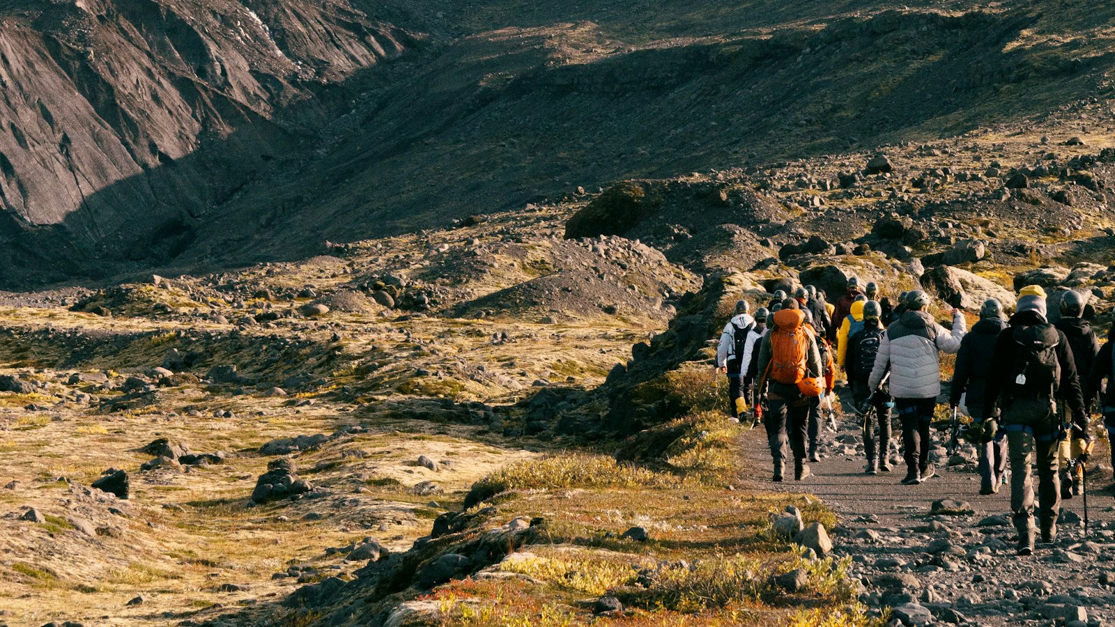
Deep in southern Iceland, Mýrdalsjökull stands out from the country’s many glaciers not just for its sheer size, but for the power, and peril, it conceals beneath its ice. Its name means “the mire dale glacier” in Icelandic, referring to the expansive, boggy valley below. Covering approximately 520 square kilometres as of 2019, it is the fourth-largest glacier in Iceland and a defining feature of the region north of Vík í Mýrdal.
The glacier atop Katla’s caldera
Beneath Mýrdalsjökull lies Katla, one of Iceland’s most active and formidable volcanoes. The volcano’s caldera measures 10 kilometres across and is encircled by a ring of mountains soaring to nearly 1,400 metres. At its thickest, the glacier’s ice cap rises to around 1,480 metres above sea level. Scientific records document 16 eruptions of Katla since the settlement of Iceland in the 10th century, and geological evidence points to around 300 explosive eruptions in the last 8,400 years. Katla’s last major eruption occurred in 1918, an event so powerful that post-eruption floods extended Iceland’s coastline by five kilometres in places.
The glacier’s high precipitation, some of the greatest in Iceland, receiving over ten metres of water equivalent annually, feeds large glacial rivers such as Jökulsá á Sólheimasandi and Múlakvísl. Sólheimajökull, a southwestern outlet glacier, and numerous ice cauldrons formed by geothermal activity hint at the restless, dynamic relationship between ice and fire within Mýrdalsjökull.
Jökulhlaups and the shaping of the landscape
Perhaps nothing underscores the region’s volatility more than its history of jökulhlaups, sudden, massive glacial outburst floods triggered by volcanic or geothermal activity. Some of the largest floods, as during the 1775 eruption, released hundreds of thousands of cubic metres of water per second. The floods most often sweep eastwards through Kotlujökull onto the Mýrdalssandur plains, while others have reached the Sólheimasandur and Markarfljótsaurar lowlands. These recurring hazards have not only transformed the landscape but have historically made travel perilous. Before Iceland’s ring road was built, crossing the flood-prone plains was considered dangerous due to unpredictable glacial rivers and the threat of rapidly rising waters.
Preparedness has become critical, as regular surveys now monitor ice cauldrons and seismic activity in the glacier. Warning systems measuring changes in river conductivity and seismic flood tremors offer some protection. Scientists consider Mýrdalsjökull one of Iceland’s most hazardous natural areas, given the likelihood of another disruptive eruption and flood, one recent estimate assigns an 89 percent probability of a major event from Kotlujökull within 30 years that could affect settlements like Vík.
Mýrdalsjökull’s story is one of constant transformation, shaped by the interactions of volcano, glacier and climate. Its icy surface bears witness to the legacy of eruptions, ongoing monitoring and the resilience of communities living in its shadow.
Sources
- Wikipedia
- Wikipedia (Icelandic) in Icelandic


