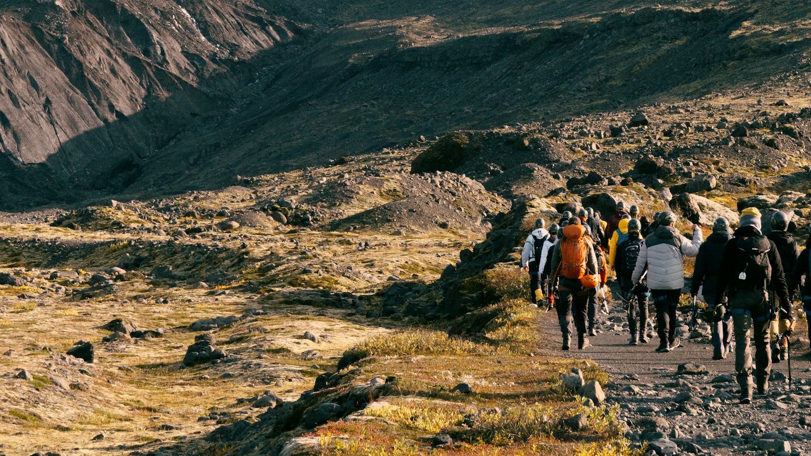
Langjökull, which translates as “long glacier” in Icelandic, dominates the highland wilderness in western Iceland. Covering some 870 square kilometres, this glacier is the second largest in the country after Vatnajökull. It stretches roughly 50 kilometres in length and sits parallel to Iceland’s most active volcanic belt.
A glacier above volcanoes
Much of the landscape around Langjökull is shaped not only by ice, but also by volcanic activity hidden beneath the glacier’s thick blanket. Volcanic systems under the glacier have sculpted the area for millennia. The caldera of Hveravellir, a site marked by geothermal features, lies to the east of the glacier. In the northwest, about a thousand years ago, a series of eruptions released a lava field known as Hallmundarhraun, which flows almost 50 kilometres into the valley of the Hvítá river. This region is also home to shield volcanoes and distinctive formations like the palagonitic peaks of Jarlhettur to the east.
Some of the ice above these volcanoes is nearly 580 metres thick at its deepest point. Langjökull reaches elevations of up to 1,450 metres at its highest peak, Baldjökull, at the glacier’s northern edge.
Streams beneath the surface
Despite its size, Langjökull does not send many large rivers visibly streaming away from its surface. Instead, meltwater carves secret paths beneath the ground, emerging at springs and lakes far from the edge of the ice. Studies have shown that this glacial meltwater feeds both the famous lake Þingvallavatn, about 50 kilometres south, and the waters of Hvítá, a major river to the west. The lake Hvítárvatn lies to the east, with two-thirds of its supply coming from Langjökull’s hidden channels.
Several outlet glaciers descend from the ice cap toward lower terrain. These include Norðurjökull and Suðurjökull, which once reached the edge of lake Hvítárvatn a century ago but have retreated rapidly since. Smaller glaciers like Hagafellsjökull and Geitlandsjökull mark the southern and southwestern bounds. Research suggests the current melting pace could leave Langjökull gone within about 150 years if warming continues.
Shifting roads and steady research
Langjökull sits in a remote yet accessible area, bordered by historic highland tracks. The Kaldidalur road lines its western side and leads toward Reykjavík in the south and Borgarnes to the north. On the east, the longer Kjölur route runs between Langjökull and Hofsjökull, connecting northern and southern parts of the country.
Above the glacier’s eastern slopes, mountains such as Skríðufell and Fjallkirkja overlook lake Hvítárvatn. The Icelandic Glacier Research Society maintains a base nearby, drawing together glaciologists and passionate amateurs to monitor changes in the ice. Their work has highlighted Langjökull’s central role in Iceland’s hydrology and the far-reaching influence of its hidden waters.
Langjökull’s magnitude and presence have also brought it into popular culture, from appearances in animated films to the setting of thriller novels. Yet on the ground, the glacier remains a quiet regulator of western Iceland’s climate, geology, and water, its story written slowly, in ice and rock.
Sources
- Wikipedia
- Wikipedia (Icelandic) in Icelandic


