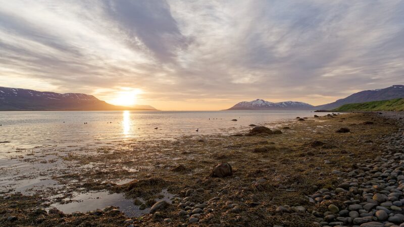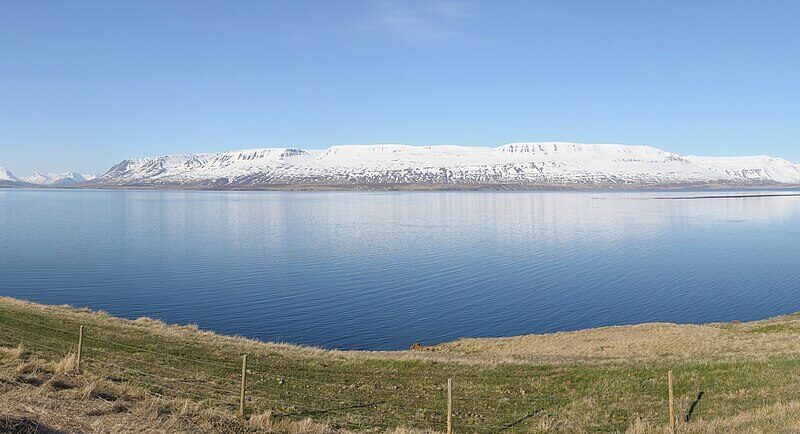
Norðurþing is a municipality (sveitarfélag) located in the Northeastern Region of Iceland, at coordinates 66.0472°N, 17.3461°W. Established in 2006 following special elections earlier that year, Norðurþing was formed through the merger of the municipalities of Húsavík, Öxarfjörður, Raufarhöfn and Kelduneshreppur. The official declaration of the new municipality occurred on 10 June 2006.
Towns and settlements across a wide landscape
Covering an area of 3,732 square kilometres, Norðurþing is among the larger municipalities by area in Northeast Iceland (Norðurland eystra). Its largest settlement is Húsavík; available figures put its population at 2,307. Other settlements include Kópasker with 122 residents, Raufarhöfn with 186 people, and Skinnastaður. Population numbers for Norðurþing as a whole were recorded as 3,011 in 2007, 2,983 in 2008, 3,001 in 2009, and 2,926 in 2010.
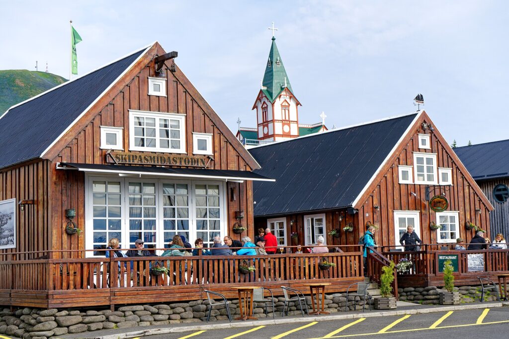
Húsavík and other points of interest
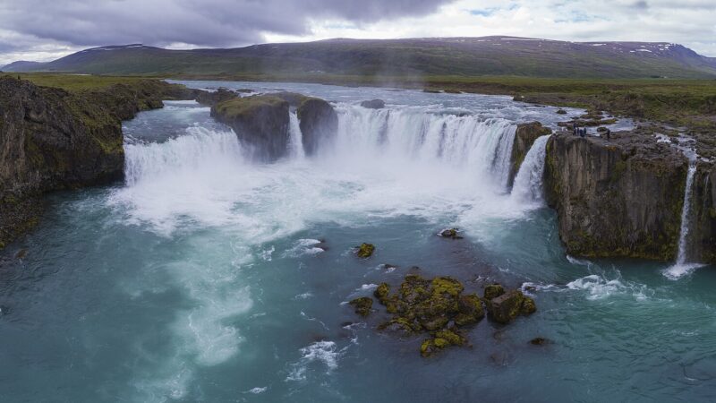
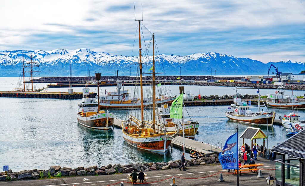
Húsavík is recognised in Europe for whale watching and serves as a key destination for travellers exploring the region. Its position is convenient for reaching natural landmarks such as Mývatn, Dettifoss, Goðafoss, and Vatnajökull National Park. Within Norðurþing, the town of Kópasker offers the Earth Quake Center and a folk museum dedicated to local heritage. In Raufarhöfn, the Arctic Henge is under construction and is drawing interest as a developing visitor attraction.
Norðurþing maintains official twin‑town and sister‑city relationships.
For current information on municipal matters and local facilities, details are available on Norðurþing’s official website.
Sources
Image: Charles J. Sharp / Wikimedia Commons (CC BY-SA 4.0) · licence, original (resized) Illustrative image.
Facts last reviewed 21 October 2026. Published 21 October 2026.