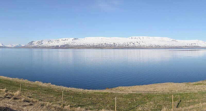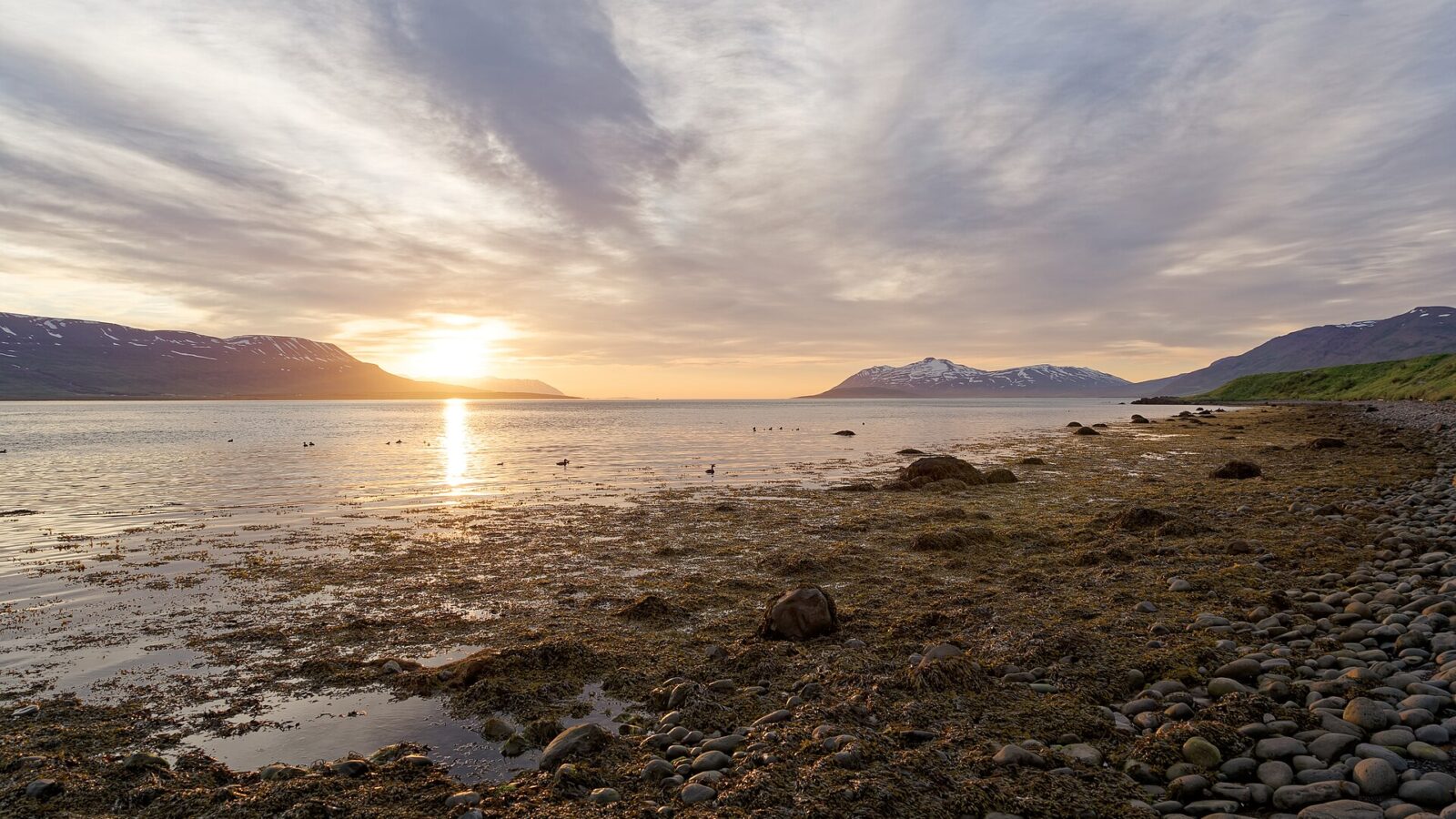
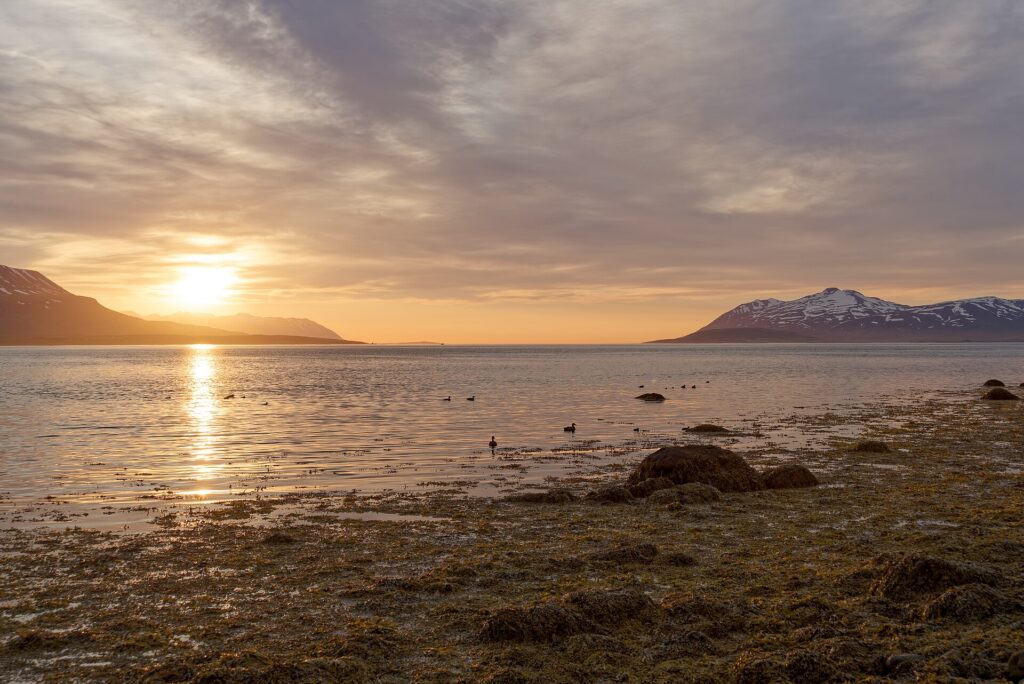
Located on the eastern side of Eyjafjörður in Northeast Iceland, Svalbarðsstrandarhreppur occupies a distinct position in the country’s administrative and cultural landscape. Its position on Eyjafjörður gives it local importance for regional connections and coastal communities. This municipality (sveitarfélag) covers an area of 54 square kilometers and is situated at coordinates 65.7461 N, 18.0811 W. The region is known locally as Svalbarðsströnd, from which the municipality takes its name.
Geography and administrative boundaries
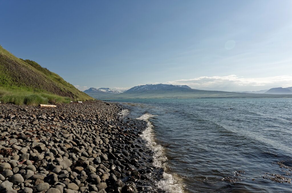
Svalbarðsstrandarhreppur is bordered to the north by Víkurskarð, a mountain pass that marks the end of both the municipality and the Svalbarðsströnd coastline. The municipality includes part of the Vaðlaheiði plateau, giving it a landscape of limited lowlands and hilly terrain. Despite being the westernmost municipality of the historical county Suður-Þingeyjarsýsla, there is a common misconception that it is part of Eyjafjarðarsýsla due to its proximity to Eyjafjörður. Officially, Svalbarðsstrandarhreppur is part of the Northeastern Region (Norðurland eystra), confirming its administrative alignment with the area’s broader communities.
Local settlements and community life
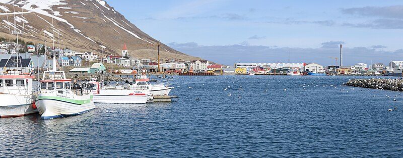
The main settlement is the village of Svalbarðseyri. Traditionally, this village was notable for its fishing industry, which played a central role in local livelihoods. Over time, as Iceland’s economic landscape shifted, so has the role of Svalbarðseyri within the municipality, but its historical roots in fishing remain significant to the community’s identity.
According to population data from the late 1990s and early 2000s, the municipality’s population has experienced minor fluctuations: 342 residents in 1998, slightly decreasing to 325 in 1999, then rising again to 341 in 2000 and 354 in 2001. Such numbers reflect the small and cohesive nature of Svalbarðsstrandarhreppur and underline the rural character of the municipality.
Regional cooperation and planning
Svalbarðsstrandarhreppur has participated in discussions about future collaboration with neighboring municipalities. In 2020, mayor Björg Erlingsdóttir brought forward the idea of merging with other communities in Eyjafjörður, highlighting ongoing efforts to adapt regional governance to contemporary needs.
The administration’s priorities also include land-use planning, and proposals like the detailed local plan (deiliskipulag) for residential areas such as Vaðlaborgir B illustrate a practical approach to balancing community growth with the area’s natural constraints. Full information about local policies, public meetings, and current projects can be found on the municipality’s official website.
Sources
Image: Jakub Hałun / Wikimedia Commons (CC BY 4.0) · licence, original (resized) Illustrative image.
Facts last reviewed 27 October 2026. Published 27 October 2026.