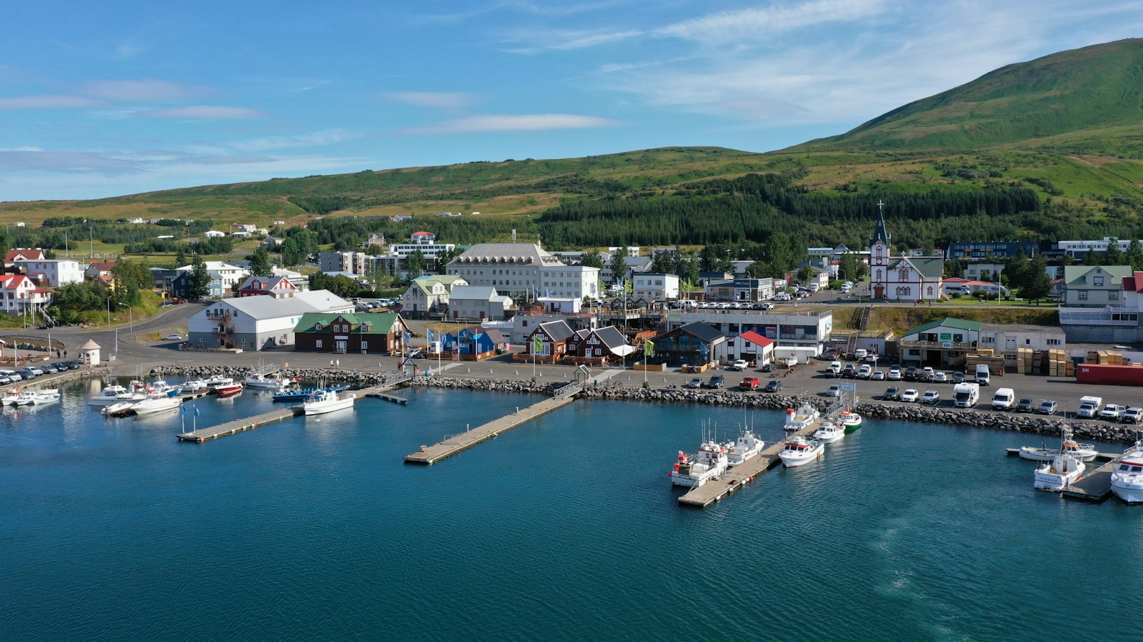
Öxarfjörður is a broad fjord in the northeast of Iceland, set between the Tjörnes and Melrakkaslétta headlands. This is a landscape where mountain ranges frame the fjord and the marks of active geological processes can be seen across the terrain. The region’s only village, Kópasker, is home to roughly 130 residents and serves as a hub for daily life and local industries.
A fjord shaped by earth and water
The story of Öxarfjörður is written in its ground. The Mid-Atlantic Ridge, the tectonic boundary dividing Eurasia and North America, slices through the fjord’s western side before plunging beneath the sea again. To the south, vast lava fields share the landscape with sands carried from the interior by the glacial river Jökulsá á Fjöllum. Over thousands of years, this river deposited so much sediment that the fjord is now bordered by Sandur, a triangular expanse of about 300 square kilometres. Sandur’s surface keeps shifting as the river carves fresh channels across its delta.
Within this sandplain, two lakes stand out. Vikingavatn lies among the dunes, while Skjálftavatn was formed suddenly after an earthquake in 1976. That seismic event destroyed some houses and left a permanent mark on the landscape.
Daily rhythms and rural traditions
Sheep farming has been the backbone of life in Öxarfjörður for generations. Farms here typically keep anywhere from 100 to 1,000 sheep over the winter. Each summer, sheep and lambs are turned loose on the highland pastures. In autumn, farmers from all over the area work together to bring the animals home, using horses and dogs to guide them into a communal fence. Each animal is recognised and returned to its owner by the distinctive earmark it carries. The village of Kópasker hosts a large lamb-processing plant called Fjallalamb, reflecting just how central this tradition remains.
Fishing and aquaculture complement farming. Small boats depart from Kópasker harbour for the cold waters offshore, while local fish farms raise salmon, halibut and trout. The area’s homes rely on geothermal heat drawn from hot springs in Sandur, a resource that replaces imported fuels during the long northern winters.
Education is centred on a single school known as Lundur or Öxarfjardarskóli, which serves about 40 children and includes a kindergarten. The pupils, drawn from settlements scattered around the fjord, travel by bus each morning and afternoon along roads that trace the shoreline and cross the shifting sands.
Over recent decades, tourism has brought new attention to the region, especially to the Jökulsárgljúfur area, now part of Vatnajökull National Park. The park stretches north from the Dettifoss waterfall, Europe’s most powerful by water flow, and features dramatic geological formations, including columnar basalt at Hljóðaklettar and the deep Ásbyrgi depression. Yet daily life in Öxarfjörður still moves to rhythms set by land, water and weather as it has for centuries.
Sources
- Wikipedia
- Wikipedia (Icelandic) in Icelandic


