Rangárþing eystra, a municipality shaped by rivers and farming
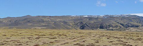
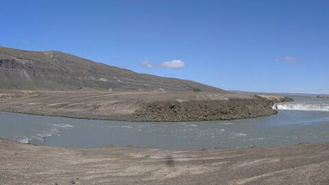
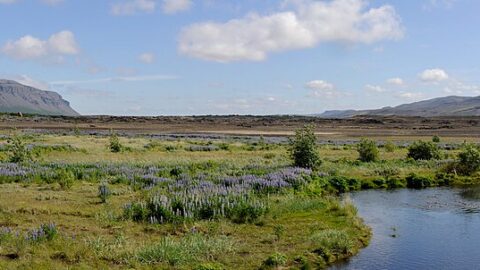
Formed in 2002 from several rural districts, Rangárþing eystra in South Iceland is notable for its farming, tourism and striking landscape formed by rivers and glaciers.
Topic
Formed in 2002 from several rural districts, Rangárþing eystra in South Iceland is notable for its farming, tourism and striking landscape formed by rivers and glaciers.
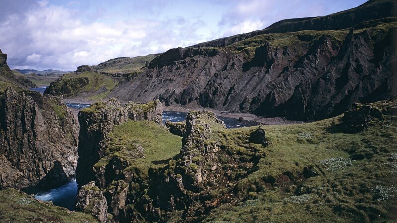
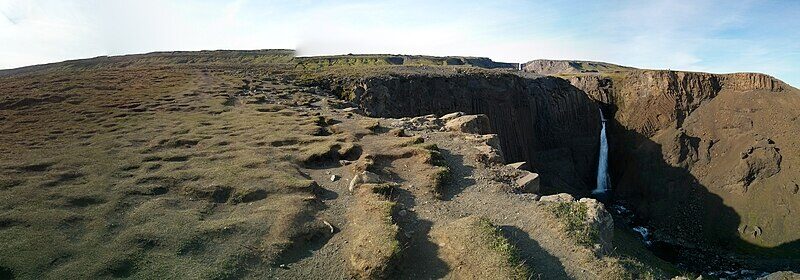
Stretching from the Vatnajökull glacier to Lagarfljót, Fljótsdalshreppur blends highland wilderness, rich farming history, forestry, sustainable energy production and cultural landmarks.
With diverse agriculture powered by geothermal heat, the municipality of Hrunamannahreppur is known for Flúðir's greenhouses, bathing spots and access to iconic nature.
Svalbarðsstrandarhreppur stretches along the Svalbarðsströnd coast in Northeast Iceland. Its main village, Svalbarðseyri, has a history of fishing and local industry.
Flóahreppur is a municipality in southern Iceland defined by its agricultural landscape, deep cultural roots, and the presence of two major rivers, Hvítá and Þjórsá.
Covering 12% of Iceland, Þingeyjarsveit is home to birch forests, volcanic landscapes, and vital rivers. The municipality is a gateway to natural and cultural highlights in northeast Iceland.
Formed in 1998 from the merger of several rural districts, Húnaþing vestra is a municipality known for its sweeping fjords, key fishing villages, and agricultural traditions.