On the coast of East Iceland, a landscape of fjords and mountains shapes the territory and communities of Fjarðabyggð. This municipality, whose name means “fjords settlement”, connects seven villages stretched along the Norwegian Sea, shapes local services and regional governance, and weaves together a history of fishing, heavy industry, agriculture, and gradual unification.
The path to a unified municipality
Fjarðabyggð, pronounced [ˈfjarðaˌpɪɣθ], did not exist as a single entity until recent decades. Its formation is the result of a lengthy process of mergers among smaller local government units. Originally, this stretch of East Iceland was divided among as many as nine municipalities by 1987, a legacy of population shifts and the rise of settlement along the fjords, particularly in the early 20th century. Back then, the growth of fishing towns prompted the creation of new municipal districts, often carved out of expansive rural areas as fishing and boat technology advanced.
That pattern reversed at the end of the century. Seeking stronger governance and better services, the region began merging its municipalities. The first step came in 1988, when Helgustaðahreppur was absorbed by Eskifjarðarkaupstaður. Ten years later, in 1998, the municipalities of Eskifjörður, Neskaupstaður, and Reyðarfjörður formally united to form Fjarðabyggð, making it the largest municipality in East Iceland at that time, with a population of about 3,300. Further groups joined: Austurbyggð, Fáskrúðsfjarðarhreppur, and Mjóafjarðarhreppur merged into Fjarðabyggð in 2006. The process culminated in June 2018, when Breiðdalshreppur also joined. As a result, Fjarðabyggð now encompasses much of the central East Icelandic coast, an area of 1,615 square kilometres.

Population change and village life
The municipality’s population figures reflect both growth after mergers and longer-term declines: after the final merger Fjarðabyggð counted just over 5,000 residents. However, recent statistics show a steady drop: 5,959 in 2007; 5,368 in 2008; 4,920 in 2009; and 4,851 in 2010.
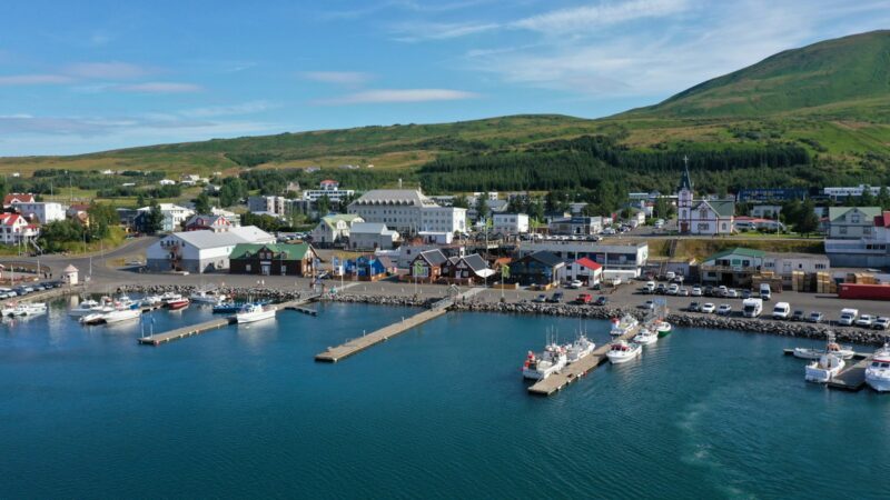
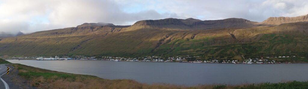
Fjarðabyggð’s seven main villages line the fjords and inlets of East Iceland. The two most populous are located in Reyðarfjörður and Norðfjörður, each with approximately 1,400 inhabitants according to the municipality. Eskifjörður has about 1,100 residents, Fáskrúðsfjörður around 700, and both Stöðvarfjörður and Breiðdal about 200 each. The smallest is Brekkuþorp in Mjóifjörður, home to just 15 people. This mix of small and mid-sized settlements spread over the coastline and valleys gives Fjarðabyggð a distinctive local identity, shaped by both remoteness and maritime connections.
Industry, economy, and livelihoods
Fishing and related industries have long been central to the municipality’s economy. Several of Iceland’s prominent fishing firms operate here, as do fish processing plants and supporting enterprises. Three of the country’s larger fisheries companies, Síldarvinnslan, Eskja, and Loðnuvinnslan, are based in Fjarðabyggð. In addition, aluminum production is significant, especially at the Alcoa-Fjarðaál plant located in Reyðarfjörður. This facility is one of the region’s main employers and has led to increased activity in harbour operations.
The fjords provide fertile fishing grounds, and Fjarðabyggð’s ports handle large volumes of seafood and other goods. The municipality also includes productive agricultural areas, especially in Breiðdal, Norðfjarðarsveit, and Fáskrúðsfjörður. Agriculture’s role increased when the rural area of Breiðdal was added in 2018, integrating more farmland into the municipal territory.
Beyond these, commerce and diverse services have expanded, with a focus on education, healthcare, retail, and hospitality. Shops, hotels, guesthouses, restaurants, bakeries, specialty stores, and industrial services operate throughout the settlements. Tourism has also grown rapidly over recent years, supported by both natural and cultural attractions. The current list of operating hours and services, and further details about commercial offerings, are available on Fjarðabyggð’s official website.
Administration, facilities, and community life
Governed by its town council (bæjarstjórn), the municipality strives to provide public services across education, health, and cultural activities. Major institutions and offices within Fjarðabyggð include the East Iceland District Hospital, the East Iceland Vocational School, and the East Iceland School Office. Other regional offices, such as the East Iceland Health Inspectorate, East Iceland Police, and the East Iceland Nature Research Centre, have local presence as well.
Most of Fjarðabyggð’s villages offer facilities for children and families: primary schools, kindergartens, youth activity centres, and music schools. The school system is noted by the municipality for having among the lowest fees in Iceland. Alongside this, an active schedule of social events, sports clubs, and cultural programs reflect the municipality’s emphasis on quality of life and local engagement.
The landscape: fjords, valleys, and nature reserves
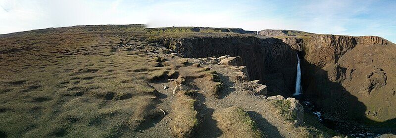
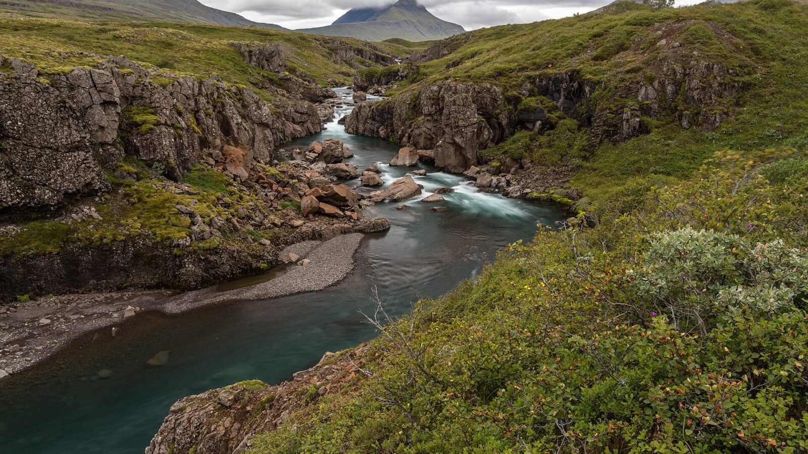
Fjarðabyggð’s geography is defined by the Norwegian Sea and the deep fjords that cut inland from the coast. The municipality includes protected natural areas: the nature reserve (friðlýstur fólkvangur) in Neskaupstaður was Iceland’s first such reserve, established in 1972 at the foot of Núpurnar. In addition, Hólmanes, which lies between Eskifjörður and Reyðarfjörður, is a designated reserve and partly a sanctuary. These protected lands offer walking paths and wilderness for residents and visitors.
Another area gaining attention is Gerpissvæðið, the mountains and passes between Norðfjörður and Reyðarfjörður. Local hiking associations have marked many routes across the region, making much of the landscape accessible for recreation. The area surrounding Helgustaðir near northern Reyðarfjörður is home to historically significant calcite (silfurberg) mines, among the world’s most prominent. Mining began here in the 17th century and continued into the 20th. These mines are now protected as a natural monument.
Recreation, culture, and daily life
Sport and outdoor activities are a central part of life in Fjarðabyggð, supported by the terrain and the facilities in the settlements. The Oddsskarð ski area stands out, with two lifts and a 1,200-meter run reaching a peak elevation of 840 meters. This ski area offers scenic views of both Reyðarfjörður and Norðfjörður, and includes facilities for children and visitors.
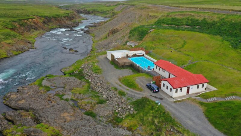
Coastal recreation is also possible close to the villages. Meleyri, a three-kilometre stretch of strand near Breiðdal, provides space for walks, birdwatching, and enjoying the sea. Swimming pools, hot tubs, and saunas are available in several towns, with both geothermal and conventional pools open to the public. Further details, including current opening periods, can be found via the municipality’s web resources.
Community activities explore both Icelandic and international connections. For example, Fáskrúðsfjörður is known for its French heritage, reflected in town signage. Wartime history is preserved at the Icelandic Wartime Museum in Reyðarfjörður, which documents local experiences during the Second World War. Annual cultural events, performances, and festivals, sometimes in collaboration with national organisations such as the East Iceland Symphony Orchestra or the Icelandic National Opera, tie together the artistic life of the villages.
Connections within East Iceland
Fjarðabyggð is linked to the broader region of Austurland (East Iceland), offering entry points to both the coastline and interior valleys. Each of its villages maintains its own character, shaped as much by physical geography as by settlement history. The area attracts residents and visitors seeking access to wild nature and a slower pace of life. Mjóifjörður, for example, is described by local sources as one of the most secluded communities in East Iceland, home to a small population and approached via a single road.
Today the municipality covers 1,615 km² along fjords connected to the Norwegian Sea; its central coordinates are 65.0833° N, 14.0000° W. As service and tourism grow alongside traditional industry, Fjarðabyggð is a microcosm of coastal East Iceland: it balances its history with contemporary development and its remote communities with ties to the wider country and the world.
Further information, updates about facilities, and resources for visitors and residents are available on the official municipal website and through the East Iceland regional tourism page. (See links below.)
Sources
Image: Markus Trienke / Wikimedia Commons (CC BY-SA 2.0) · licence, original (resized) Illustrative image.
Facts last reviewed 21 October 2026. Published 21 October 2026.