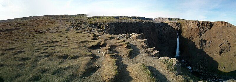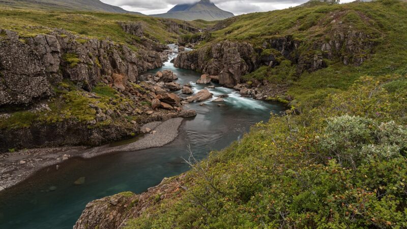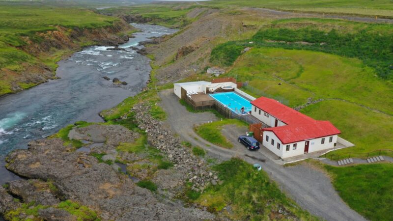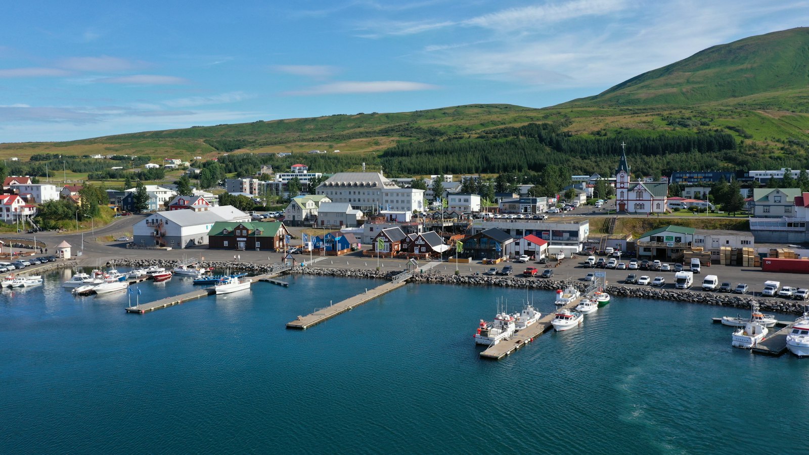
East Iceland, known in Icelandic as Austurland, covers much of the country’s eastern expanse. Marked by striking fjords, the so-called Eastfjords (“Austfirðir”), and a wild coastline, the region sets itself apart through both natural features and human history.
Geography and settlements
Encompassing an area of up to 21,986 square kilometers, East Iceland’s landscape stretches from Langanes to Eystrahorni. This includes bays like Bakkaflói and Héraðsflói, as well as river deltas where Jökulsá á Brú and Lagarfljót flow into the sea. The largest settlement is Egilsstaðir, home to 2,632 people. Djúpivogur, which gained its trading license in 1589, is the oldest municipality, and as of 2024 had a population of 412.
Municipal boundaries have shifted over time, with today’s region encompassing Vopnafjarðarhreppur, Múlaþing, Fljótsdalshreppur, and Fjarðabyggð. Hornafjörður, once debated, now belongs to South Iceland. From 1959 to 2003, East Iceland formed its own parliamentary constituency; since then, it has been part of the Northeast constituency.
Connection to Europe and local industry
The fjord town Seyðisfjörður serves as the sole port for regular car and passenger ferry services connecting Iceland with mainland Europe, an arrangement that highlights the region’s unique role in Iceland’s external connections. While prominent tourist sites like the Helgustaðir mine, famed for its Iceland spar mineral, and the basalt canyon Stuðlagil draw visitors, the region’s identity is also shaped by major enterprises such as the Kárahnjúkar Hydropower Plant.
With a population that has fluctuated from around 12,459 in 2007 to 11,085 in 2024, East Iceland continues to bridge tradition, geography, and innovation.
Sources
Facts last reviewed 18 October 2026. Published 19 October 2026.