Skagafjörður is a municipality in Northwest Iceland (Norðurland vestra) whose boundaries cover most of the region around the Skagafjörður fjord. With an area of 5,543 square kilometres, it stretches across both the Skagi Peninsula and the Tröllaskagi mountain range. The population reached 4,206 in 2023 and is expected to grow to 4,316 by 2025, according to municipal figures.
Formation and mergers in local government
The current Skagafjörður municipality (sveitarfélag) is the result of a series of administrative mergers. In 1998, eleven out of twelve separate municipalities in the Skagafjörður area held votes on uniting into one municipality. The proposal was supported in all participating areas except for Akrahreppur, which chose not to join at that time. The new entity unified Sauðárkrókur (the largest town), Hofsós, Varmahlíð, and several rural and village districts including Hólar, which remains a significant historic and educational site. The population centre in Sauðárkrókur accounted for about 2,600 residents at the time, making it the dominant locality in the area.
In February 2022, a new merger vote was held, this time including Akrahreppur. The residents of Akrahreppur and Skagafjörður voted in favour of coming together to form a single large municipality. This merger was finalised in June 2022, further integrating the region and bringing the entire fjord basin, its valley communities and rural surroundings under the single name Skagafjörður.

Towns, villages and sites of interest
Today, the municipality comprises a network of towns, villages and countryside. Besides Sauðárkrókur, the communities of Hofsós, Hólar, Keta, Miklibær, Reynistaður, Silfrastaðir, Varmahlíð and Viðvík each contribute local character and history. Hólar is notable not only for its history as a cathedral site but also as the location of a growing university. The area’s economy and life are shaped by the fjord, agriculture and the connection to traditional Icelandic rural culture.

Regional connections and twinning
Skagafjörður maintains links abroad through twinning relationships, fostering exchanges and cultural connections with Espoo in Finland, Køge in Denmark, Kongsberg in Norway, and Kristianstad in Sweden. This aligns with the community’s strong role in both Iceland’s northern region and international networks.
Details about municipal governance, elections and current council members are available on the official municipal website (see below).
Sources
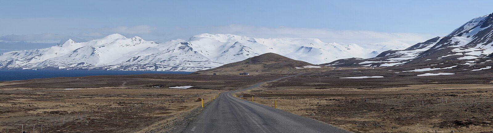
Image: Hansueli Krapf / Wikimedia Commons (CC BY-SA 3.0) · licence, original (resized) Illustrative image.
Facts last reviewed 21 October 2026. Published 21 October 2026.