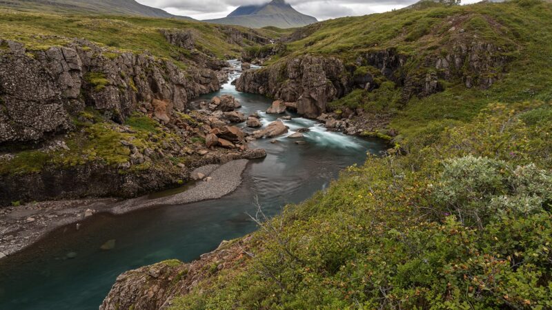
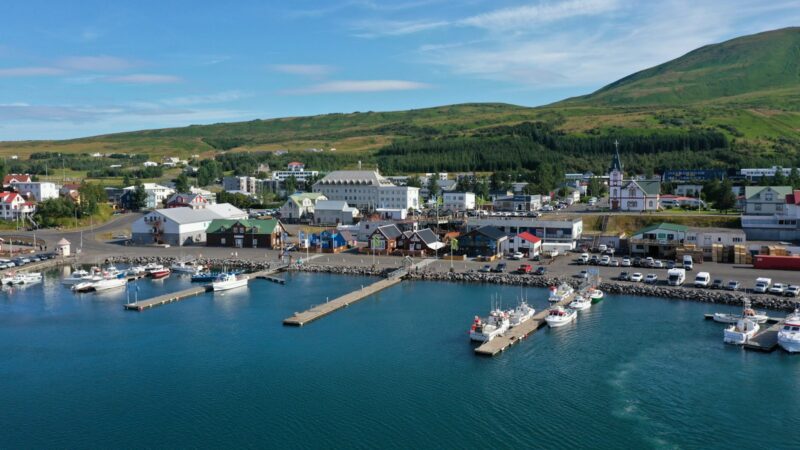
The municipality of Fljótsdalshreppur lies in the East Iceland (Austurland) region, encompassing over 1,500 square kilometres of valleys, plateaus and highlands. Though sparsely populated with less than one hundred inhabitants, according to statistics from the late 1990s to the present, the area is geographically expansive, ranging from Vatnajökull, Iceland’s largest glacier, in the south to the banks of the Lagarfljót river in the north. Its location between dramatic natural features and key infrastructure makes it a significant point of interest in Eastern Iceland.
A landscape shaped by geology and water
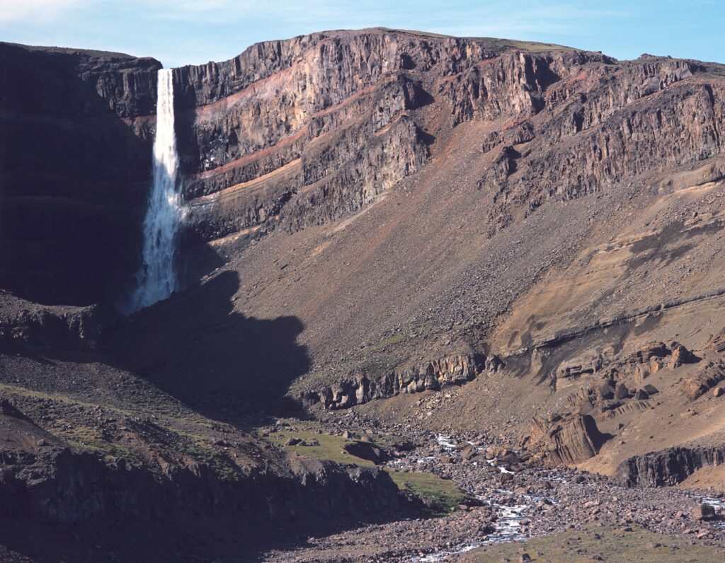
Fljótsdalshreppur’s valleys are carved between mountains that rise on average 600 to 700 metres above sea level, forming a high plateau. The region is defined by the Fljótsdalur valley, which is divided into South and North valleys by the hill Múli. Glacial erosion has sculpted a trough now carrying the waters of Lagarfljót, while streams cascade down through a series of waterfalls, including the 128-metre Hengifoss on the Hengifossá river. These waterfalls highlight the topographical variety and mark transitions between uplands and fertile lowlands.
At its core, Fljótsdalur holds Fljótsdalsgrundin, a lowland known for productive, natural meadows and excellent pasture. The glacial plateau supports diverse ecological zones, from forested hills to floodplains shaped by the rivers Kelduá and Jökulsá. Erosion and landslides are inherent risks in some parts due to thin soil cover on the underlying rock, particularly after intense rainfall.
Natural diversity: highlands, wetlands and reindeer habitat
Fljótsdalshreppur is recognised for its distinct ecology. Vegetation in some highland areas extends up to 600 metres above sea level, an uncommon characteristic in Iceland. About 18 percent of the municipality below 400 metres is covered in forest and managed woodland, the result of active forestry and agroforestry projects that began in 1970. These forests yield timber for local use, including building materials, fenceposts, parquet and firewood, as well as Christmas trees.
The region incorporates part of the Vatnajökull National Park, one of the largest protected areas in Western Europe and a UNESCO World Heritage site. This gives Fljótsdalshreppur a stake in the stewardship of significant wetlands and wilderness, including Eyjabakkar above the valley. Designated under the RAMSAR Convention, Eyjabakkar’s naturally irrigated fields form one of Iceland’s largest highland wetlands and are globally notable nesting grounds for pink-footed geese.
Much of Iceland’s wild reindeer population migrates through Fljótsdalshreppur, and the area is subject to controlled and sustainable hunting. Birdlife is particularly rich, with around 50 recorded species near Snæfell, while the lush heather, bluebells, rock bramble and northern bedstraw unique to Fljótsdalur are more abundant here than elsewhere in the region.
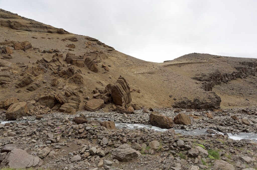
Farming, forestry and sustainable practices
Sheep farming has been the main livelihood in Fljótsdalshreppur for centuries, with nearly every farm relying on the valley’s fertile soils, extensive grazing heathlands and natural irrigation. The area is notable for ongoing projects in revegetation and cultivation, visible in the spread of wild birch and other native trees. Timber from routine woodland thinning is put to use as fuel for heating buildings.
Sustainability is a recurring theme in the way residents utilise their resources. For example, leftover timber from forestry is used as firewood, and energy production from lakes and rivers is carefully managed. There is also a tradition of carefully organised reindeer hunting to maintain population balance. Waste is sorted into recyclable, organic and general waste, with farmers and businesses making use of special collection points for different types of refuse.
Hydropower and infrastructure: Kárahnjúkar and beyond
One of the municipality’s defining features is the Kárahnjúkar Hydropower Plant, the largest in Iceland. Operated by Landsvirkjun, the National Power Company of Iceland, this plant generates up to 4,800 gigawatt hours of electricity each year, with installed capacity at 690 megawatts. Water travels up to 40 kilometres in tunnels from the main reservoir, Hálslón, and smaller reservoirs such as Ufsarlón and Kelduárlón, combining before dropping through the mountain Valþjófsstaðarfjall to power six turbines. The majority of this energy is delivered to the Alcoa Fjarðaál aluminium smelter at Reyðarfjörður.
Electricity from the plant is also distributed throughout Fljótsdalshreppur, with further electrical stability brought by a new high-voltage transmission line (Kröflulína 3) connecting this station to others in North and East Iceland. Several farms have small-scale hydroelectric facilities, and studies suggest further micro-hydro projects may be feasible. Telecommunications infrastructure is extensive, with transmitters and repeaters supporting 3G and 4G mobile connections, as well as a fibre optic network reaching all farms.
Climate and natural hazards
Fljótsdalur’s climate is considered relatively gentle compared to other Icelandic regions. The area is sheltered by the Vatnajökull ice cap and the Eastern Highlands, resulting in predominantly south-western winds and reduced precipitation compared to coastal areas. Average temperatures are mild, with lowland areas rarely experiencing significant snowfall in winter. Drought, when it occurs early in the summer, can nonetheless affect vegetation growth.
Although situated outside of active seismic or volcanic zones, the municipality occasionally sees ash deposits from regional volcanic events. The risk of landslides is noted in areas with shallow soil atop steep slopes, especially after heavy rain. Flooding is sometimes an issue during spring thaws or major storms, occasionally inundating valley floor farms and raising water levels along Lagarfljót. The most recent major flood was in autumn 2017. While rare, the bursting of several reservoir dams could threaten a limited number of farms, though this risk is considered extremely unlikely according to local planning assessments.
From monasteries to modern architecture
Fljótsdalshreppur’s built heritage reflects both old traditions and contemporary architectural innovation. At Skriðuklaustur, visitors find the distinctive Gunnarshús, whose design shows influences from German architecture. This site also preserves the ruins of a 16th-century Augustinian monastery, where digital interpretation and virtual reality reconstructions offer a modern approach to presenting historical remains.
Other notable structures in the municipality underscore an interest in environmental and landscape-sensitive design. The Snæfellsstofa visitor centre for Vatnajökull National Park received British BREEAM certification for sustainability, becoming the first new building in Iceland to do so. A new service building at Hengifoss, currently being realised, was selected through an international design competition to harmonise with local landforms. Social, administrative and utility buildings, such as the community centre at Végarður, small wood-fuelled heating plants, and farmsteads with traditional turf and stone elements, add to the architectural diversity.
Elements of the region’s past are preserved through artefacts like the Valþjófsstaður church door, a reproduction of a medieval door from a stave church that once stood in the area. At Langhús, farm buildings constructed from turf and rock evoke earlier rural Icelandic lifestyles, while the reconstruction work at the Wilderness Center in Norðurdalur provides further insights into local history.
Daily life, economy and the search for a population centre
Today, Fljótsdalshreppur lacks a defined population centre. Instead, residents live on dispersed farmsteads and scattered houses across the valley and its side valleys. According to the most recent municipal master plan (aðalskipulag), proposals are underway to establish a unique and environmentally integrated residential area at Hjarðarból. This plan, created with attention to landscape compatibility, environmental psychology and accessibility, is intended to support expanding economic activities in the valley. Under this master plan, up to three residential buildings can currently be built on each land parcel without the need for a detailed local plan (deiliskipulag).
Regarding services, the municipality cooperates with neighbouring areas for education and leverages facilities in Egilsstaðir for healthcare, banking and emergency services. A variety of local and regional institutions support cultural, economic and environmental projects. Employment is dominated by sheep farming, the operation of the hydropower plant, the Skriðuklaustur cultural centre, forestry, national park activities and growing tourism services related to the area’s natural attractions. Most workers are employed in the public sector, farming or visitor services, with little recorded unemployment. The municipality has one of the highest employment-to-population rates in Iceland due to utility, cultural and parks-related jobs.
Wild nature and outdoor recreation
Hikers and outdoor enthusiasts are drawn to Fljótsdalshreppur for its extensive network of marked trails and routes. These include routes to waterfalls such as Hengifoss, Strútsfoss and Gjáhjalli, scenic walking circuits like Fossahringur (Waterfall circle route) and unique paths through the Snæfell wilderness. In addition to walking, marked mountain biking and horseback riding trails weave through forests and along riverbanks. Historic travel routes connect the area to neighbouring valleys and fjords, recalling the region’s trading and migration history.
Cross-country skiing is possible from Laugarfell and the Wilderness Center when snow conditions permit. The circle road network facilitates access within the municipality and to regional hubs. The popular cycle race ‘Tour de Ormurinn’ passes through the area each August, utilising the scenic and varied geography that Fljótsdalshreppur offers.
Utilities: water, heating and waste
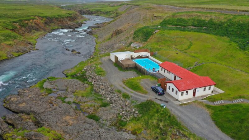
Most farmsteads in Fljótsdalshreppur operate their own water sources, though five registered water utilities serve various institutions and community buildings, such as the hydropower plant, Skriðuklaustur and Laugarfell. Some places benefit from geothermal sources, with Laugarfell hosting a hot spring that provides heating and warm pools, and a hot tub at the Wilderness Center heated by a shallow well and pump system. Wood-fuelled heating systems supplement heating in certain locations, reflecting the availability of local timber and a focus on renewable energy.
Waste collection is managed by sorting into organic, recyclable and residual waste, with special facilities for hazardous and bulky items near Végarður. Septic tanks are standard at all residences and farms, and a designated collection pit handles sludge from across the municipality. Telecommunications are up to date, supported by fibre-optic cable to all properties and transmitters dotted throughout the region.
An evolving future close to nature
Despite its small population, the prospects for Fljótsdalshreppur’s development rest on a blend of natural beauty, energy production, sustainable farming, forestry and cultural heritage. Ongoing initiatives to improve housing and community services, combined with the draw of its landscapes and protected areas, position the municipality as a distinctive area in Iceland to visit or settle. Plans for a new residential cluster reflect a vision of careful expansion rooted in local character and environmental respect. The official municipal website (see below) provides up-to-date information on local planning and services.
Sources
Image: Jürgen Regel, Marian… / Wikimedia Commons (CC BY 3.0) · licence, original (resized) Illustrative image.
Facts last reviewed 27 October 2026. Published 27 October 2026.