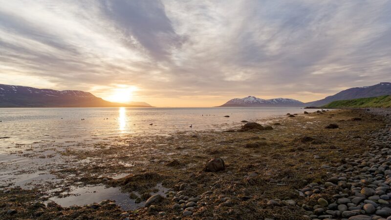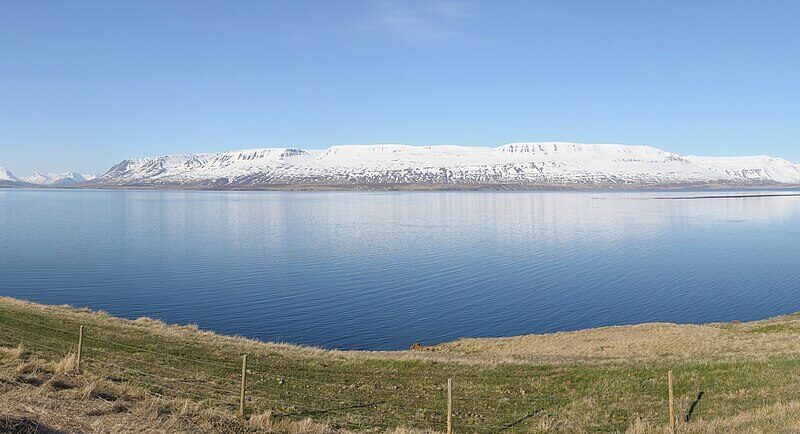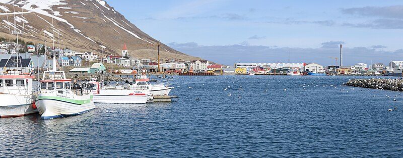
Þingeyjarsveit, situated in the Northeast Region (Norðurland eystra), spans 12,021 square kilometres and became Iceland’s largest municipality by area following a 2022 merger with neighbouring Skútustaðahreppur. This consolidation, approved by residents of both municipalities, enabled Þingeyjarsveit to encompass roughly 12% of the country’s total landmass. The municipality’s official website provides details about its current governance, events, and local services.
How the municipality was formed and its communities
Originally, Þingeyjarsveit was established on 9 June 2002 through the amalgamation of four rural municipalities: Ljósavatnshreppur, Bárðdælahreppur, Hálshreppur, and Reykdælahreppur. In 2008, it further expanded to include Aðaldælahreppur following a local vote. The most significant change came in 2022, after residents voted in favour of merging with Skútustaðahreppur, leading to an increase in both area and jurisdiction. The main population centres in the municipality are Laugar and Reykjahlíð. Despite its vast size, much of Þingeyjarsveit’s land remains uninhabited highlands and wilderness, stretching as far south as the Vatnajökull ice cap.
Geography, natural features, and economy
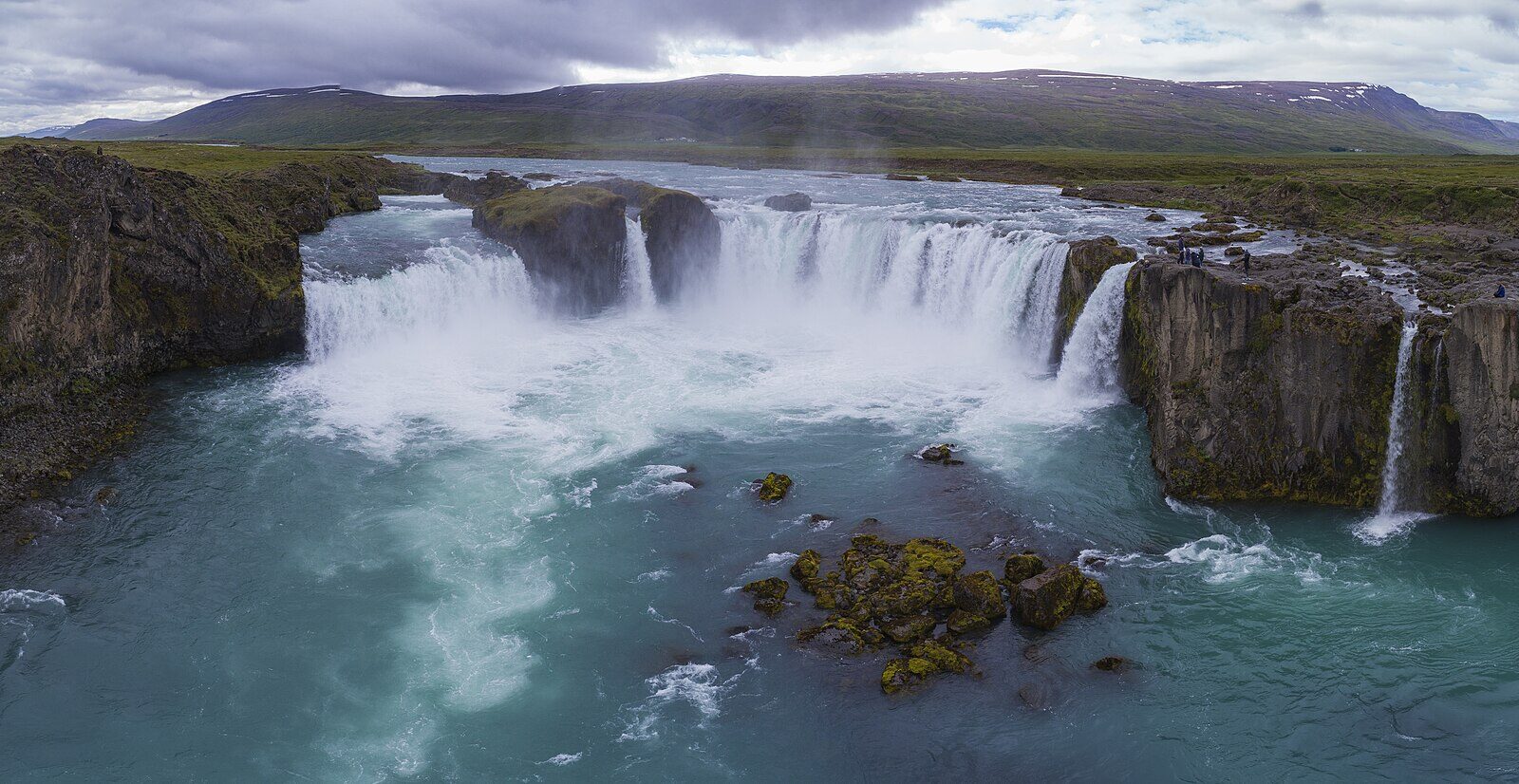
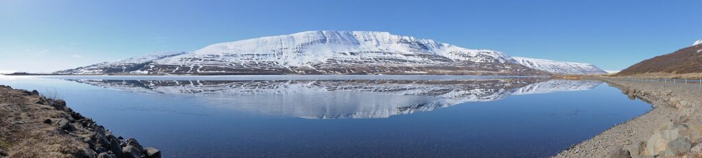
Þingeyjarsveit’s inhabited areas include valleys such as Fnjóskadalur, Ljósavatnsskarð, Köldukinn, Bárðardalur, Laxárdalur, Aðaldalur, Reykjadalur, and the region of Mývatnssveit. The municipality is characterised by a network of significant rivers, including the Laxá in Laxárdalur, Fnjóská in Fnjóskadalur, and Skjálfandafljót in Bárðardalur. Notably, Goðafoss, one of Iceland’s well-known waterfalls, is found on the Skjálfandafljót river near the ring road (Route 1), while Dettifoss, considered among the country’s most powerful waterfalls, marks the municipality’s eastern boundary on the Jökulsá á Fjöllum river.
The district’s diverse landscapes also include the Vaglaskógur birch woods in the Fnjóskadalur valley, one of the largest forested areas in Iceland and a popular spot for outdoor activities. The Mývatn lake area and its surroundings attract visitors drawn to volcanic formations, geothermal features, and birdlife. Most of the municipality, however, lies in remote wilderness, providing a habitat for diverse flora and fauna.

Local life, schools, and activities
Despite its low population density, official figures show 1,336 residents in 2009, gradually decreasing to 1,282 by 2012. Þingeyjarsveit supports a well-developed educational network. Schools include Stórutjarnarskóli in Ljósavatnsskarð, Þingeyjarskóli in Hafralæk (Aðaldalur), and Reykjahlíðarskóli in Reykjahlíð. Laugar hosts both a primary school and a secondary school, along with sports facilities that serve the wider community.
The municipality maintains a council-based governance model, and its website highlights local events, cultural activities, and information on services. Several kindergartens operate in the region, including Barnaborg in Aðaldalur and Ylur in Mývatnssveit. Þingeyjarsveit also supports creative and community events, such as workshops, readings, and children’s activities, reflecting the active engagement of residents in community life.
Sources
Image: Chensiyuan / Wikimedia Commons (CC BY-SA 4.0) · licence, original (resized) Illustrative image.
Facts last reviewed 26 October 2026. Published 26 October 2026.