Located centrally within southern Iceland, Ásahreppur is a municipality defined by low population and distinctive geography. It is important for agriculture and for wetland habitats that support the grey lag goose. Covering an area of 2,943 square kilometres, this rural community lies at the western edge of Rangárvallasýsla in the Southern Region, known locally as Suðurland.
Natural features and habitats
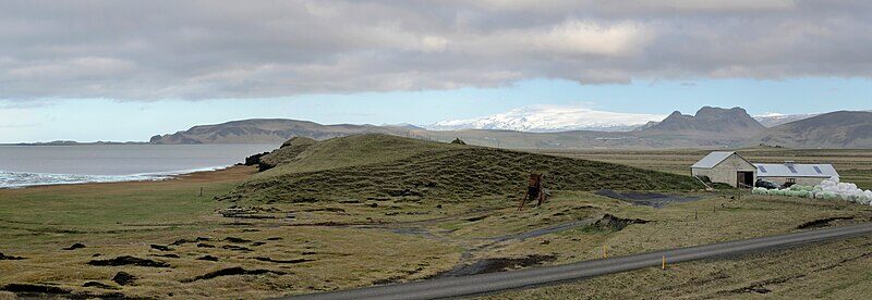
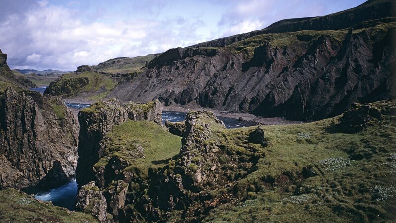
A striking characteristic of Ásahreppur is its landscape, marked by intermittent ridges, grassy swamplands, and farmlands. The area is named for these geological ridges, referred to as “ásar” in Icelandic, which shape both the terrain and the settlement pattern. Among the most significant habitats is the swampy region around Frakkavatn, which holds particular ecological importance as the largest nesting site for the grey lag goose found in Iceland. Elsewhere, the community’s countryside alternates between wetland, hills, and pasture.

Settlement patterns and history
Ásahreppur is not arranged around a central village but forms clusters of agricultural settlements that are spread along the ridges. Groups of farms, such as Kálfholtscluster and others, create the backbone of habitation within the municipality. Artificial caves, constructed centuries ago, dot the area. These man-made features served as housing for animals up to the twentieth century, and, according to local sources, humans may have inhabited some of them in the early periods after Iceland’s settlement.
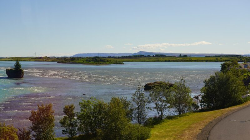
The boundaries of the municipality stretch from the Þjórsá river bridge, a key Ring Road crossing since 1895, on its western edge to a point eastward near Landvegamót. The territory includes a share of the Holtamannaafréttur upland grazing area. Historically, Ásahreppur was established after a division in Holtamannahreppur in 1892, and another boundary change occurred in 1938, shaping the area as it is today.

Community life and economic activity
Farming remains the dominant profession in Ásahreppur, with service industries supporting local and regional needs. The population has remained relatively stable, numbering between 129 and 193 people in the last decades of the twentieth century. Most economic and daily activities centre around agriculture, but a hydroelectric power plant also contributes to the local economy.
Because of the sparse population, basic services such as schools are offered to the community’s residents through collaboration with neighbouring municipalities in Rangárvallasýsla as well as Skaftárhreppur and Mýrdalshreppur. This network allows Ásahreppur’s residents to access education and other community resources, while cultural and recreational activities are promoted locally. Information about available facilities, cultural programmes, and administrative matters is published on the municipality’s official website.
Sources
Image: Hansueli Krapf / Wikimedia Commons (CC BY-SA 4.0) · licence, original (resized) Illustrative image.
Facts last reviewed 24 October 2026. Published 24 October 2026.