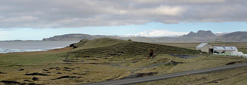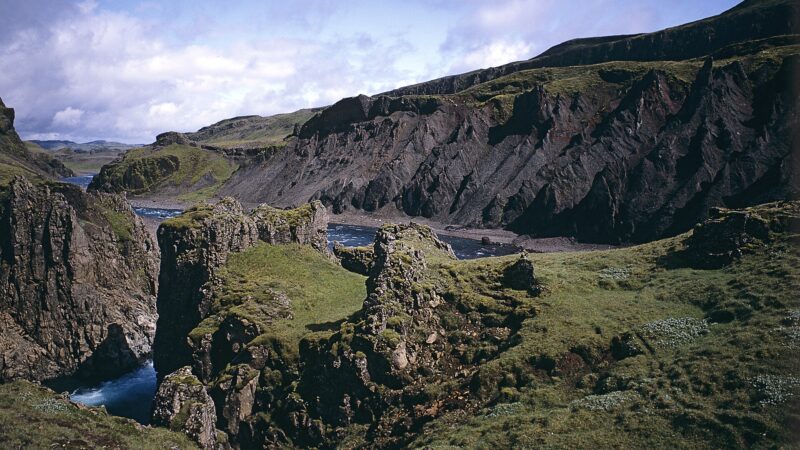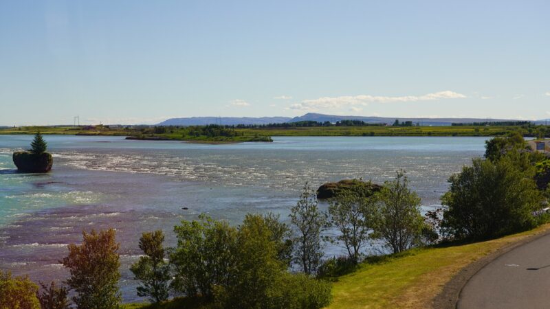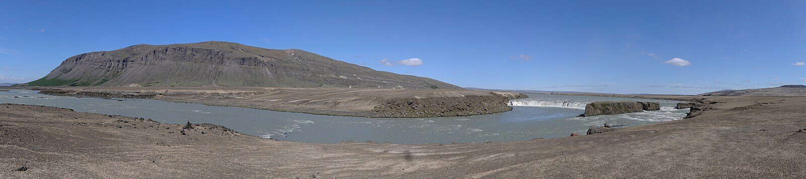
Skeiða- og Gnúpverjahreppur stands as one of the smaller municipalities in south-central Iceland, occupying 2,232 square kilometres in the Southern Region (Suðurland). Located at 64.4806°N, 19.1972°W, it is known for its mix of flood-formed lowlands, rolling hills and remote mountain pastures.
From separate rural districts to one municipality
The modern municipality (a municipality) was officially formed on 9 June 2002, when the residents of Skeiðahreppur and Gnúpverjahreppur voted to unite their historically separate rural districts. Since the merger, the population was 506 in 2003, rose to 529 in 2005 and then remained near that level for several years. By 2020, the total population reached 609.
Local administration is managed by a council of five elected members, supported by five deputies. The main office is located in Árnes, one of the key settlements alongside Brautarholt. Council elections are held every four years. The chief administrative officer participates in council meetings, carrying out executive functions for the community.
Geography defined by rivers and floods
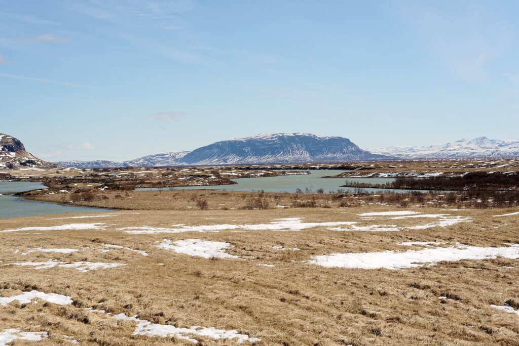
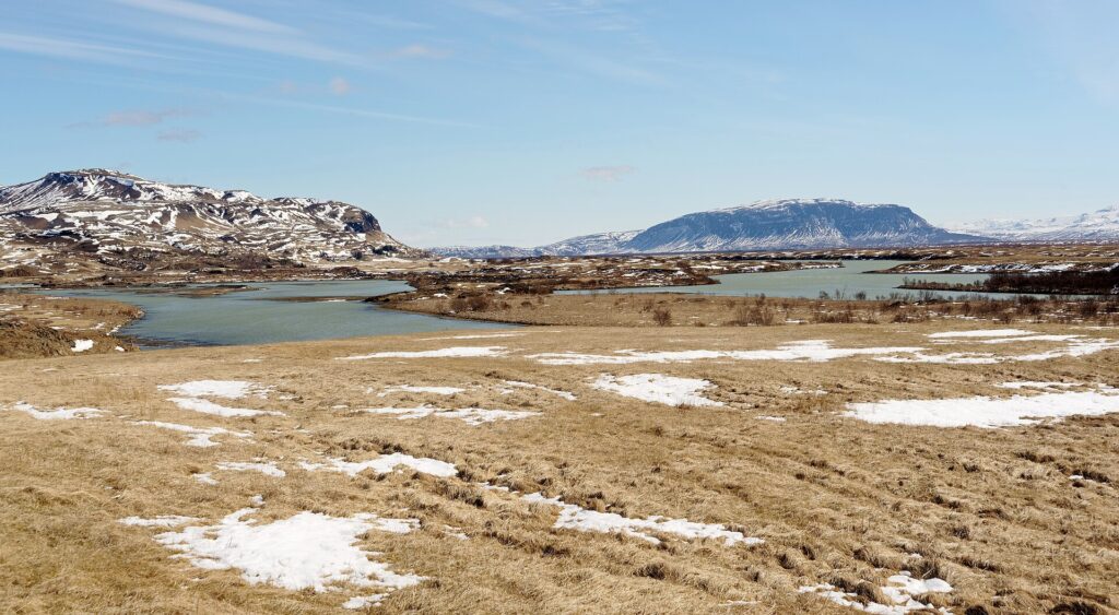
The municipality marks the easternmost part of what was once Árnessýsla county. Its boundaries follow the Þjórsá river upstream to the edge of the Hofsjökull glacier, and its western edge abuts the Hvítá river. The landscape varies dramatically, shaped both by geology and recurring floods from the Hvítá and Þjórsá rivers. Flat plains dominate the area known as the Skeiðar, while the higher grounds of the former Gnúpverjahreppur district are characterized by hills and upland pastures.
Flooding events have long influenced land use and settlement patterns, leaving behind fertile soils as well as periodically challenging conditions for farming communities. These environmental factors drive a resourceful agricultural tradition, with considerable adaptation to the rhythms and risks set by the local rivers.
Community life and public services
The municipality puts emphasis on supporting resident wellbeing and community development. Local initiatives include housing support for students aged 15–17 living away from home, market and fiberoptic connectivity grants, and various participatory projects. Skeiða- og Gnúpverjahreppur has been recognised several times for staff satisfaction and workplace environment in a national municipality benchmarking project.
Residents have access to services through the Health Care Institution of South Iceland (Heilbrigðisstofnun Suðurlands). Community updates cover detailed local plans (deiliskipulag), employment opportunities, recycling initiatives, and vaccination information. Local businesses and organisations can participate in regional showcases to present their products and future directions. The municipality has received equal pay certification, reflecting its commitment to social equity.
Current information on administrative processes, planned developments, and up-to-date contact details can be found on the official website of Skeiða- og Gnúpverjahreppur.
Sources
Image: Hansueli Krapf / Wikimedia Commons (CC BY-SA 4.0) · licence, original (resized) Illustrative image.
Facts last reviewed 24 October 2026. Published 24 October 2026.