Marked by expansive terrain and historic communities, Húnaþing vestra is a municipality in the Northwestern Region of Iceland. Its fjords and coastline support fishing and farming that shape the local economy and communities. With an area of 3,023 square kilometres, it is situated along the Húnaflói gulf and is home to some of the country’s characteristic fjords and peninsulas. The official formation of Húnaþing vestra took place on 7 June 1998, when seven rural municipalities in the area were unified. These included Staðarhreppur, Fremri-Torfustaðahreppur, Ytri-Torfustaðahreppur, Kirkjuhvammshreppur, Hvammstangahreppur, Þverárhreppur, and Þorkelshólshreppur.
Geography: fjords, peninsulas and settlements
The municipality encompasses three main fjords: Hrútafjörður, Miðfjörður, and part of Húnafjörður. It also covers the peninsulas of Heggstaðanes and Vatnsnes, which lie between these inlets. The main urban centre is Hvammstangi, a town that serves as the administrative and service hub for the municipality. Other villages include Laugabakki, Reykir, and Borðeyri, each contributing to the area’s character but on a smaller scale.
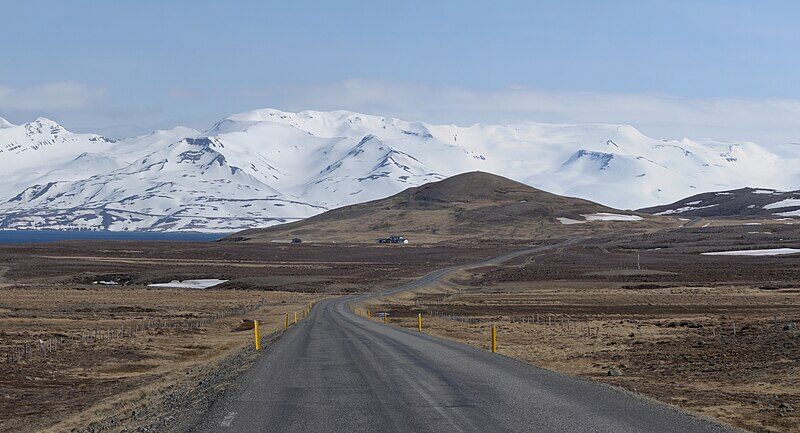
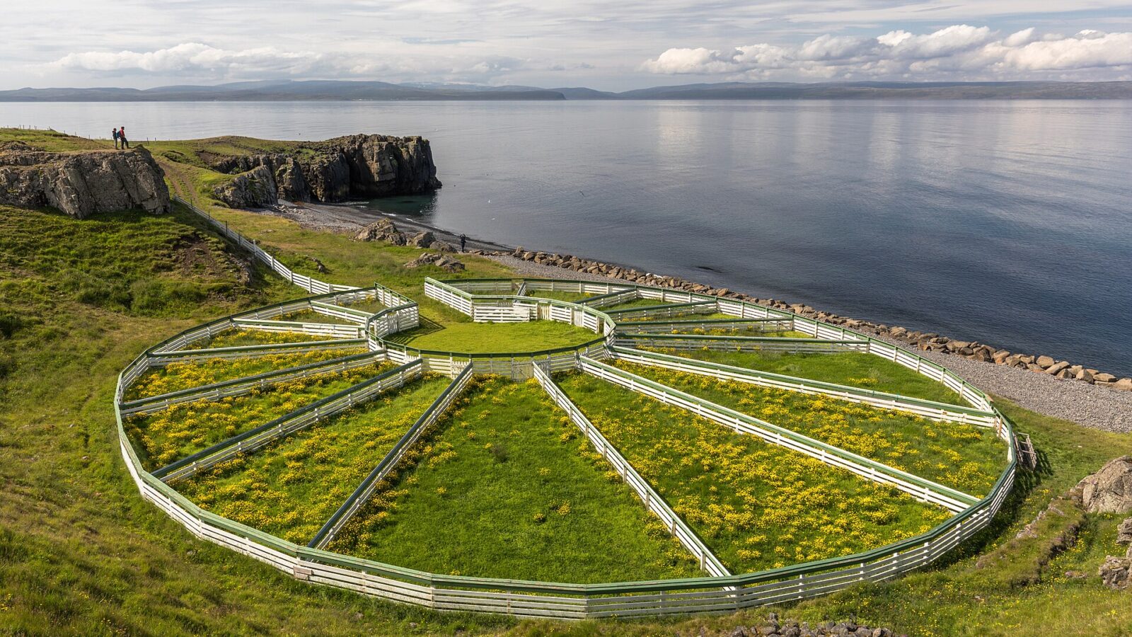
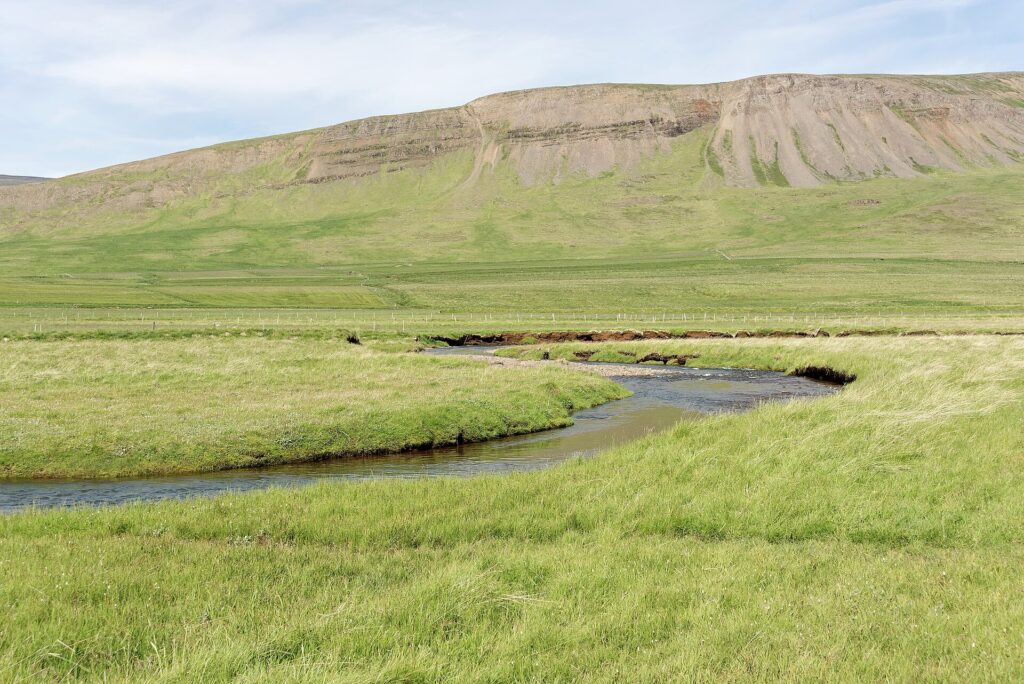
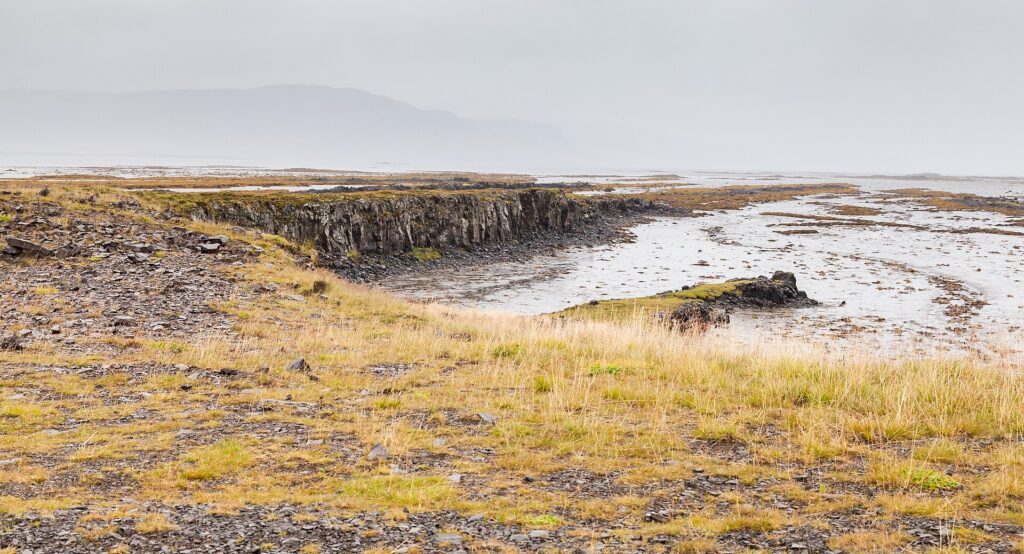
The landscape is defined by the interplay of sea and land. The fjord system not only shapes the views and lifestyles of residents but also influences the local economy. Both agriculture and fisheries have long served as the backbone of the community, making use of the arable land between the inlets and the marine resources of the coastal waters.
Administrative changes and population
Húnaþing vestra further expanded in 2012 by merging with the municipality of Bæjarhreppur. Despite this, the community retained the name Húnaþing vestra, reflecting its ties to the western parts of the historical region known as Vestur-Húnavatnssýsla.
In terms of population, official figures indicate a slow decline at the turn of the twenty-first century. The population was 1,378 in 1999, decreasing slightly each year to 1,312 in 2002. The municipality continues to be a sparsely populated district, a common feature of rural Icelandic regions.
Community life and local governance
The municipality’s official website provides information on community services, including measures to support children and families, as well as cultural and social events. Hvammstangi houses the main municipal offices and also functions as a centre for local governance and gatherings. The local government has initiatives aimed at maintaining community well-being and promoting gender balance in leadership, as recognised by awards noted on their official channels.
Sources
Image: Markus Trienke / Wikimedia Commons (CC BY-SA 2.0) · licence, original (resized) Illustrative image.
Facts last reviewed 25 October 2026. Published 25 October 2026.