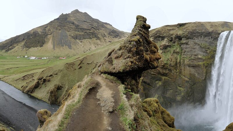
Rangárþing eystra, a municipality in the Southern Region of Iceland, covers 1,832 square kilometres between the Eystri Rangá river to the west and Jökulsá á Sólheimasandi river to the east. The municipality was created on 9 June 2002 by merging six rural districts: Austur-Eyjafjallahreppur, Vestur-Eyjafjallahreppur, Austur-Landeyjahreppur, Vestur-Landeyjahreppur, Fljótshlíðarhreppur, and Hvolhreppur.
Settlements on the edge of glaciers and rivers
Hvolsvöllur is Rangárþing eystra’s largest settlement, acting as the main hub for local life and services. Skógar, beneath the Eyjafjöll mountains, is also noted as the site of a small but growing community within the municipality. The region’s population has remained stable over recent years, with figures recorded at 1,657 in 2003 and reaching 1,669 in 2006.
Agriculture, horses and the work of the land
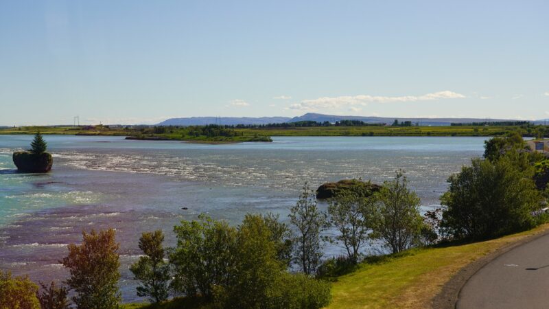
Agriculture and tourism are the leading industries in Rangárþing eystra. The municipality stands out in Icelandic horse breeding: according to the local agricultural advisory centre, two stud farms, Hemla II and Skálakot, were among thirteen named as leading horse-breeding farms in 2026. Farmland stretches along the river valleys, which also set clear physical boundaries for the area.
Shaped by rivers and glaciers
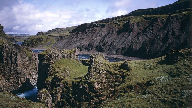
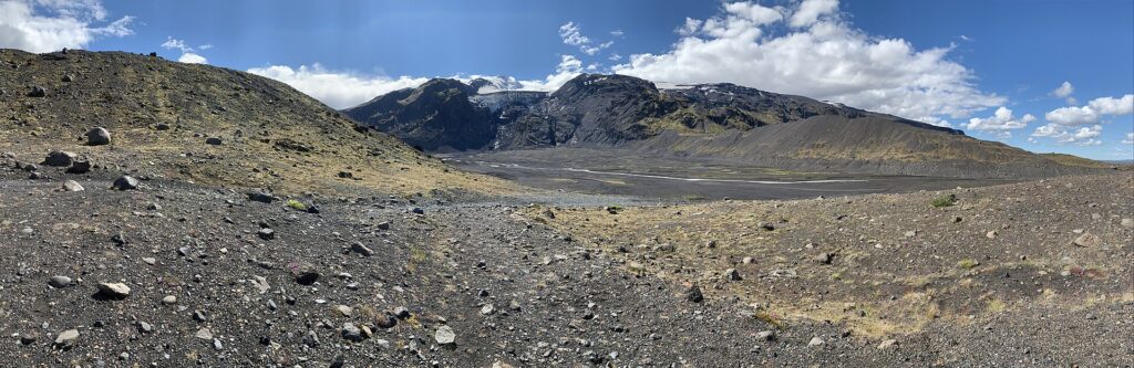
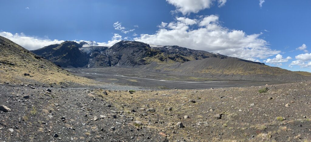
The municipality’s geography is defined by its waterways and glaciers. Fljótshlíð is a key district traversed by the Markarfljót river, which runs south towards the ocean near Landeyjahöfn, the port where the sea-crossing to the Westman Islands is shortest. To the north of Eyjafjallajökull, the valley of Þórsmörk falls within the municipality. This landscape includes the western part of Mýrdalsjökull glacier within its borders.
For further details on the municipality, the official website provides current information and updates on local affairs.
Sources
Image: NOTE: This image is a panorama consisting of multiple frames that were merged or stitched in Panorama Studio. As a resul / Wikimedia Commons (CC BY-SA 3.0) · licence, original (resized) Illustrative image.
Facts last reviewed 27 October 2026. Published 27 October 2026.