Tucked at the southern base of the Eyjafjallajökull glacier in the municipality of Rangárþing eystra, Skógar is a small settlement with approximately 25 residents. Its name translates to “the woods,” a reminder of the rare patches of forest still found in some Icelandic valleys. Marked on the map at 63.5247°N, 19.5069°W, Skógar sits within the South Iceland region and is best known for its natural and cultural landmarks.
Skógafoss, Kvernufoss and the river landscape
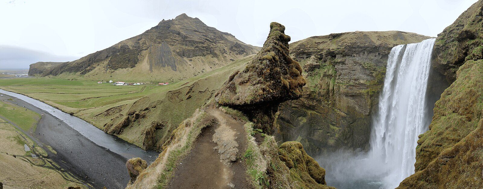
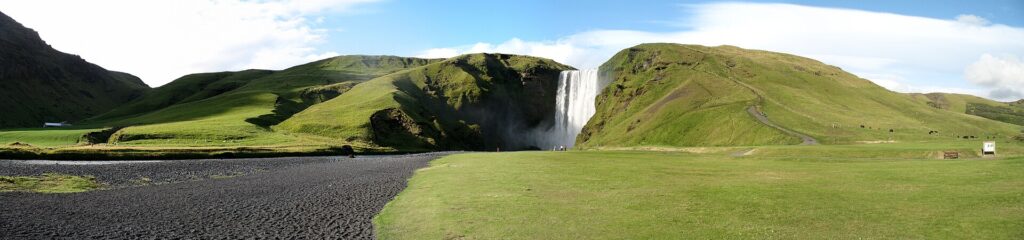
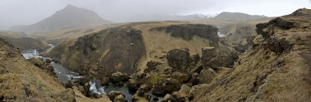
The Skógá river flows through this area, dropping from an eroded cliff to create Skógafoss waterfall. With a height of 60 metres, Skógafoss is widely recognised as one of the well-known waterfalls of Iceland, according to local tourism authorities. Not far from the main village, Kvernufoss waterfall can also be found. Walking further along the river, visitors encounter several more falls, each shaped by the interplay of water and volcanic rock. Between these cascades and the forests nearby, the landscape conveys the deep geological forces at work at the base of Eyjafjallajökull.
From school to cultural centre
Despite its size, Skógar has long served as a local centre. Its main building, built in 1949, originally housed the village school, which was important to the local community. That building is now a hotel, reflecting changing needs and the rise of tourism in this part of South Iceland. Skógar’s principal cultural site today is the Skógar Folk Museum (Skógasafn), which gathers objects, documents, and even traditional old buildings to showcase the history and way of life of South Icelanders. The museum also includes a section devoted to Icelandic transport, illustrating how people have moved through this rugged environment.
Trails, forest, and Eyjafjallajökull’s legacy
Behind the former school building, Völvuskógur forest offers walking paths and the chance to see remnants of historic farmsteads. Trails here connect to more ambitious routes, including the Fimmvörðuháls trail, which begins in Skógar and traverses terrain between the Mýrdalsjökull and Eyjafjallajökull glaciers before descending into Þórsmörk. The 2010 eruption of Eyjafjallajökull had a notable impact on Skógar and its surroundings, and showed the proximity of the village to Iceland’s volatile volcanic systems.
Sources
Image: Hansueli Krapf / Wikimedia Commons (CC BY-SA 3.0) · licence, original (resized) Illustrative image.
Facts last reviewed 22 October 2026. Published 22 October 2026.