Mýrdalshreppur is a municipality (sveitarfélag) in South Iceland (Suðurland), known for its striking geography and popular with visitors for its glaciers, black-sand beaches and views of the Katla volcano. Its area of 749 square kilometres lies in the southern part of the island, at coordinates 63.4194 N, 19.0097 W.
Geography shaped by fire and ice
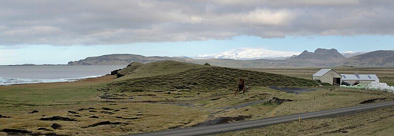
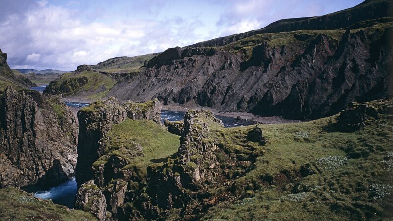
Stretching from the Jökulsá river, Sólheimasandur and Sólheimajökull in the west to Blautakvísl, Mýrdalssandur and Kötlujökull in the east, Mýrdalshreppur is marked by sharp natural contrasts. The region features lush, grassy stretches in many parts, while vast sandy plains and rocky, rugged mountains give the landscape a raw character. Mýrdalsjökull, Iceland’s southern glacier, rises over the municipality and holds the Katla volcano, known for its influence on the area’s history and terrain.

The village of Vík and local life
The administrative centre and main village is Vík, officially Vík í Mýrdal, which sits by the sea just east of Reynisfjall. Vík is Iceland’s only fishing village without its own harbour. According to figures, the municipality’s population was 526 in 1998, and it had just over 500 residents annually through the early 2000s.
Agriculture has long been the cornerstone of the local economy, but in recent years, tourism has become increasingly significant. The area is also home to Skólahljómsveit Mýrdalshrepps, the local school band, reflecting community engagement with music and culture. Known locally as Mýrdalur, after the valley from which it takes its name, the district’s vivid nature has often shaped both livelihoods and traditions.

Formation and climate monitoring
Mýrdalshreppur was formed on 1 January 1984 by merging Dyrhólahreppur and Hvammshreppur municipalities. As the southernmost district on the mainland, aside from the Westman Islands, it hosts Iceland’s southernmost weather station at Reynir in Reynishverfi. This position brings distinctive weather, monitored closely by national officials.
Mýrdalshreppur’s combination of active geology, agricultural roots and its adaptation to tourism continues to shape its identity today. Current service information and updates can be found on the municipality’s official website.
Sources
Image: NOTE: This image is a panorama consisting of multiple frames that were merged or stitched in Panorama Studio. As a resul / Wikimedia Commons (CC BY-SA 3.0) · licence, original (resized) Illustrative image.
Facts last reviewed 25 October 2026. Published 25 October 2026.