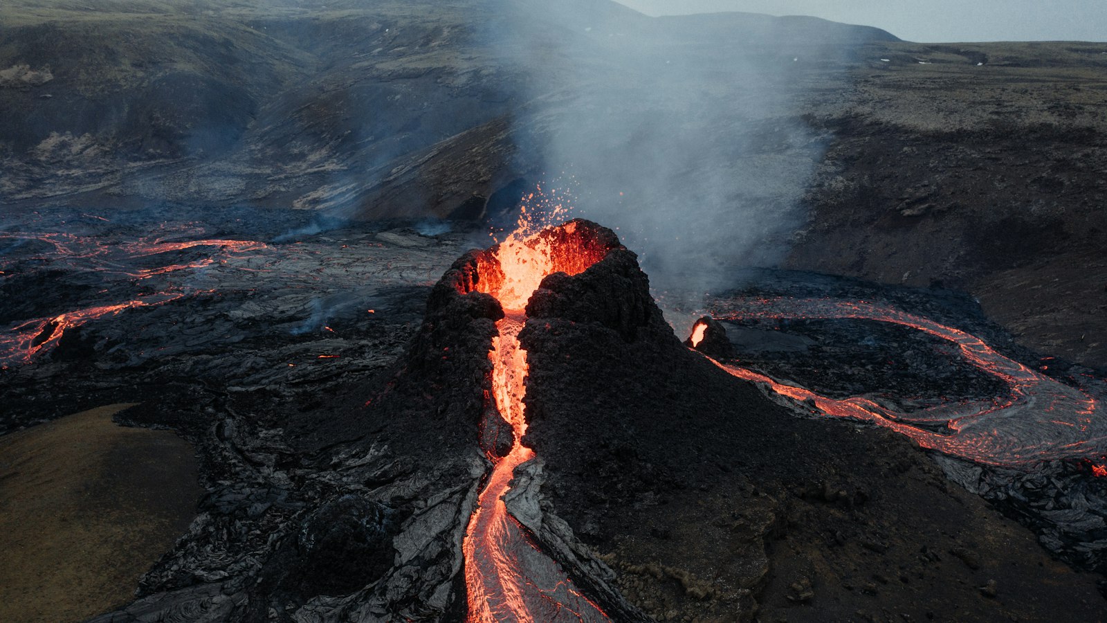
The Þjórsá Lava, known in Icelandic as Þjórsárhraunið mikla, stands as the largest lava flow in Icelandic history and the Holocene period. This immense expanse of solidified basalt has both geological and cultural significance, having shaped the lowlands of South Iceland and influenced the region’s development over thousands of years.
An eruption on a grand scale
The Þjórsá eruption occurred around 8,600 years before present (approximately 6650 BCE). It originated in the Veiðivötn area of Central Iceland, from fissures now buried beneath more recent volcanic deposits. Unlike many other lava flows whose boundaries are visible close to their source, the Þjórsá Lava does not reappear on the surface until 70 kilometres downstream from its eruptive area. The enormous scale of the flow is reflected in its estimated volume of over 25 km³, with a coverage area of between 900 and 970 km² across the lowlands. In some places, the lava reaches up to 26 metres in thickness.
This lava belongs to a group of lavas called the Tungnaá lavas. Geologically, Þjórsá Lava is classed as plagioclase-porphyritic tholeiitic basalt, marked by its large, pale feldspar crystals (called phenocrysts) set within a fine, dark groundmass. Remarkably, the crystals and the surrounding lava originate from different sources within the Earth’s mantle, with the feldspar likely coming from a deep magma chamber around nine kilometres below the surface.
From volcanic fire to human settlement
As the Þjórsá Lava cooled, its wide spread covered the districts of Landsveit, Gnúpverjahreppur, Skeið, and Flói. It also determined the courses of major rivers: the Þjórsá and Hvítá/Ölfusá now flow along its eastern and western borders. The lava ultimately reached the sea, shaping a 25 kilometre coastal stretch between the river mouths. When the lava first reached the coast, sea levels were approximately 15 metres lower than they are today. Over time, the Atlantic gradually advanced, submerging the original front edge of the flow hundreds of metres off shore. Today, the submerged lava and its littoral zone can still be observed from the beaches near Stokkseyri and Eyrarbakki.
Modern life, too, is anchored on its ancient bedrock. The towns of Selfoss, Eyrarbakki and Stokkseyri were all built directly on the Þjórsá Lava. While the surface is now often hidden beneath thick layers of soil, remnants of the lava can sometimes be seen exposed along the beaches or riverbanks, silent evidence of the volcanic forces that continue to shape Iceland’s landscape.
Sources
- Wikipedia
- Wikipedia (Icelandic) in Icelandic


