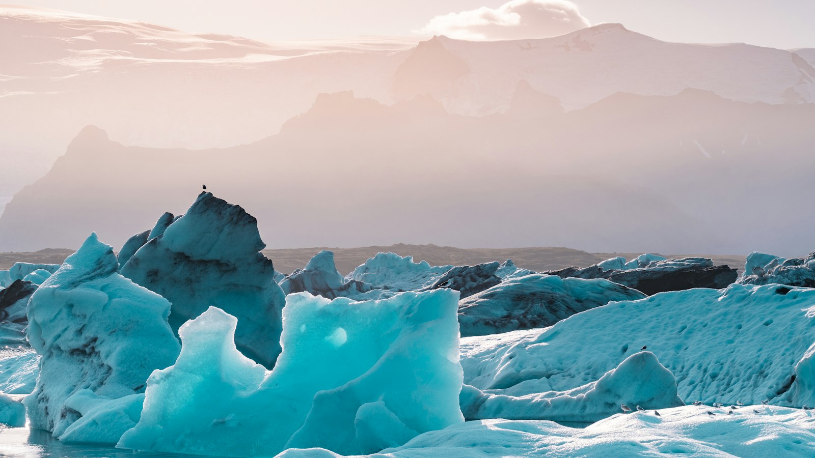
Deep within Iceland’s highlands, where sandy deserts prevail and human presence is scarce, Tungnafellsjökull stands as both an icecap glacier and an active volcanic system. The site’s Icelandic name means “Tongue Fells’ glacier,” describing both its geography and its glacier-covered peak. Its highest summit, known as Háhyrna, rises to 1,540 metres above sea level.
Tungnafellsjökull lies north-west of the enormous Vatnajökull icecap and directly under the influence of the nearby central volcano of Bárðarbunga. To its west, it is neighboured by Hofsjökull, another important glacier-volcano complex. The landscape surrounding Tungnafellsjökull is notable for its harshness: this is a desert, with sand and gravel ridges, scant plant life and few accessible tracks.
Geological crossroads
Beneath the glacier, the Tungnafellsjökull central volcano sits at the north-eastern edge of the Hreppar microplate and marks the eastern end of the Mid-Iceland belt, a tectonically lively zone. Its volcanic system forms the north-westernmost part of the larger Bárðarbunga network. Tungnafellsjökull itself includes two calderas (volcanic craters): the glacier-topped western caldera, and the younger Vonarskarð caldera to the east. The Vonarskarð caldera also hosts a geothermal field and faces directly toward Bárðarbunga’s massive volcanic structure.
Tungnafellsjökull’s fissure swarms stretch up to 15 kilometres north and 25 kilometres west-south-west. Along these fissures, both basaltic lava and volcanic glass known as rhyolite have surfaced over millennia. While the dominant rock type is olivine tholeiite basalt, the area around Vonarskarð caldera and north-east of the Hágöngur volcano also contains rare outcrops of rhyolite.
Ice, fire and shifting ground
The volcanic history of this region stretches back to the Pleistocene era, with visible lava deposits marking each period’s activity. The most recent known eruptions here occurred on its north-east side, sending out flows of young basaltic lava less than 4,500 years ago. The Dvergar fissure system, just northwest of the glacier, hosts these relatively fresh lava patches. A larger Holocene eruption from the northern fissures created the extensive Tunguhraun lava field and the Bokki lava shield, covering more than 210 square kilometres.
Though the region has been quieter in historical times, the ground remains restless. In the 1990s, following an eruption at Gjálp, fault movements were detected in the Tungnafellsjökull fissure system. Earthquake swarms in 2008, 2009, and during the 2014–2015 Bárðarbunga eruption caused further seismic activity, revealing ongoing movements of magma deep beneath the glacier.
Three glacial rivers spring from the Tungnafellsjökull glacier, carrying meltwater through this otherwise arid region. Despite its challenging location and tough surroundings, Tungnafellsjökull is a compelling intersection of ice and volcanic fire, marking a critical point in Iceland’s unfurling geological story.
Sources
- Wikipedia
- Wikipedia (Icelandic) in Icelandic


