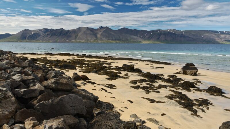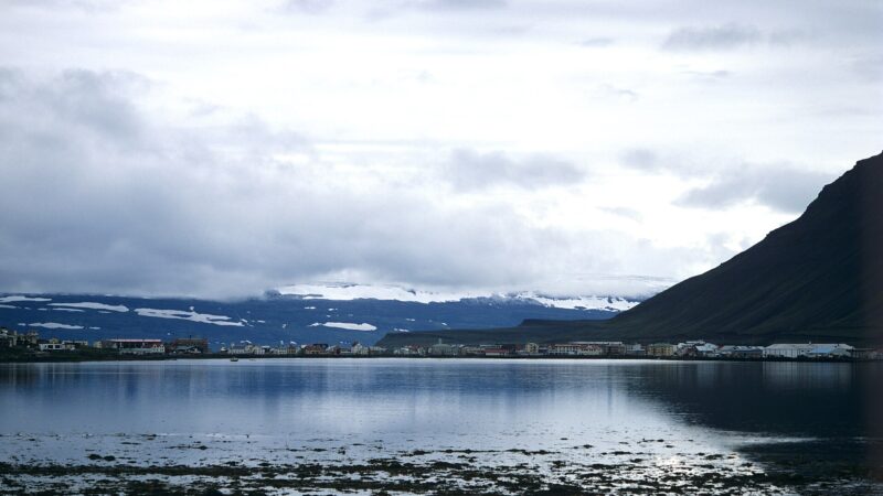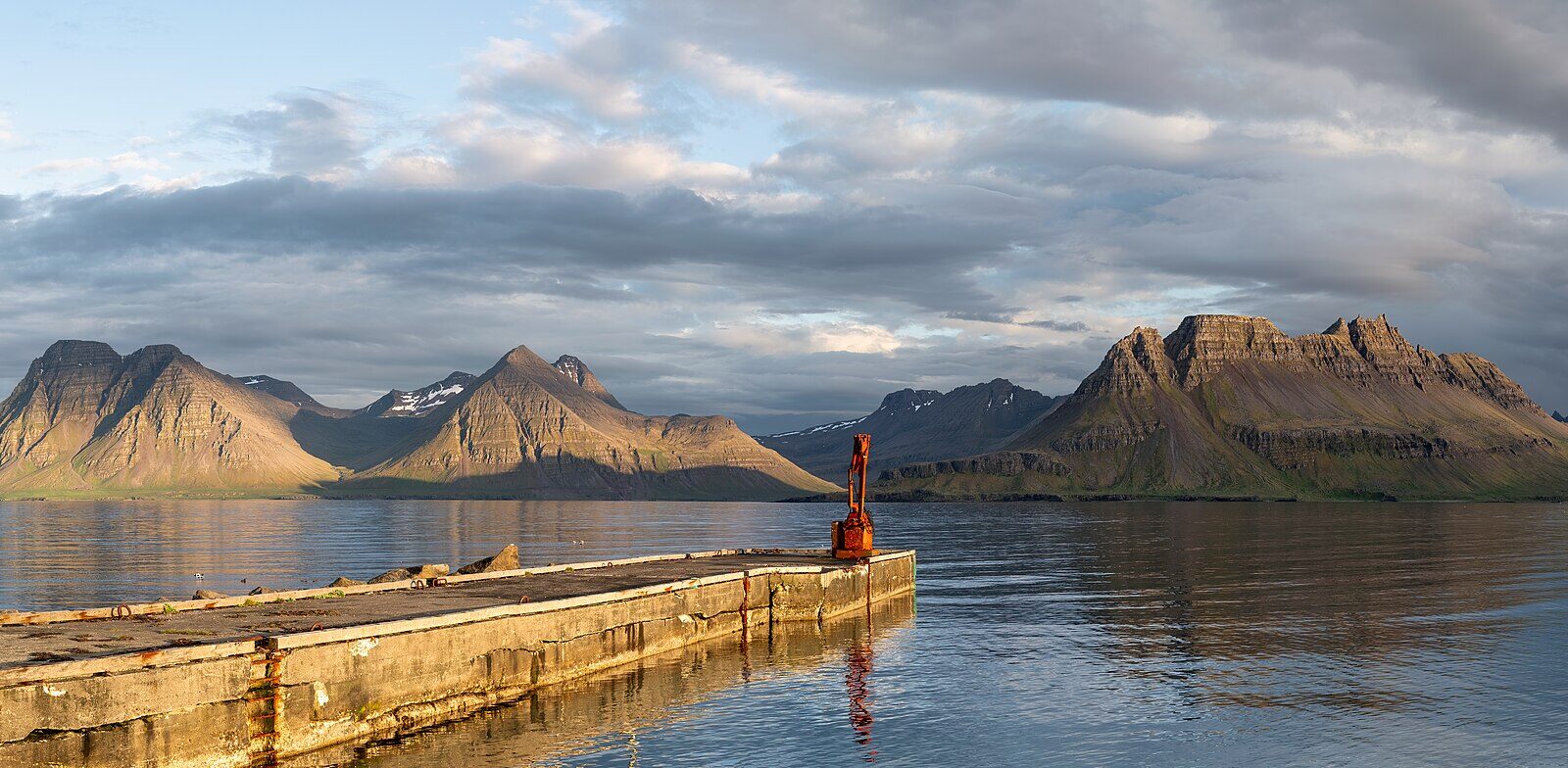
Árneshreppur is an Icelandic municipality (sveitarfélag) occupying a broad, rugged stretch at the northern tip of Strandasýsla in the Westfjords region (Vestfirðir). With an area of 705 square kilometres and just 60 inhabitants as of 2025, it is recognised among the country’s least populated municipalities. The coordinates are 65.9800° N, 21.4530° W.
Towns, villages and historical roots
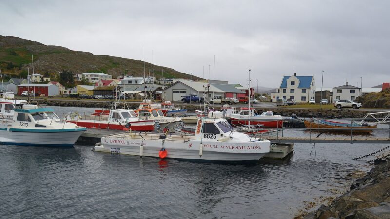
The municipality contains small settlements along its fjords, including the village of Djúpavík on Reykjarfjörður and the villages of Gjögur and Norðurfjörður. Norðurfjörður serves as a commercial hub, offering a harbour and seasonal fishing activity. Access to the area, particularly during winter, sometimes depends on Gjögur Airport due to prolonged road closures. Boat routes connect Árneshreppur to destinations such as Hornstrandir, an area of interest for hiking.
Árneshreppur also goes by the older name Víkursveit, especially regarding Trékyllisvík, its most fertile and historically important region. Trékyllisvík was the backdrop for significant events, including the burning of three men accused of sorcery in 1654 at a gorge known as Kista, and the site of Iceland’s only sea battle, Flóabardagi, in 1244 out in Húnaflói Bay.
Industry, heritage and nature
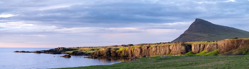
From the early 1900s, Árneshreppur’s economy was shaped by herring and shark fisheries. Villages such as Kúvík, Gjögur, Ingólfsfjörður and Djúpavík expanded as factories were built to process these catches. The remains of these hubs still mark the landscape, with the herring factories at Ingólfsfjörður and Djúpavík as prominent features. While the fisheries declined as quickly as they had boomed, history is preserved today through exhibitions in Djúpavík recounting the era.
Culture is also explored in the local museum Kört in Trékyllisvík. Natural features attract visitors and residents alike, with walking paths through striking local geology. The municipality is known for its ancient central volcano, making it a focal point for geological study, and features sites such as the seaside pool Krossneslaug near the farm Krossnes.
Farms, conservation and recent events
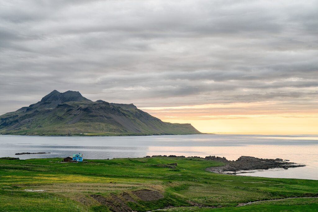
Historically, Árneshreppur was home to many farms, with place names such as Kolbeinsvík, Kambur, Reykjarfjörður, Gjögur, Norðurfjörður and Krossnes still in use. In recent years, a strict nature reserve was established in Drangar in 2021, signalling ongoing conservation efforts.
A notable administrative development came with the residents’ 2026 vote to merge with Kaldrananeshreppur. However, the Ministry of Infrastructure (Innviðaráðuneytið) declared the referendum invalid in May the same year.
Current information about the municipality, its facilities and local life is available on Árneshreppur’s official website.
Sources
Image: Eric Kilby / Wikimedia Commons (CC BY-SA 2.0) · licence, original (resized) Illustrative image.
Facts last reviewed 23 October 2026. Published 23 October 2026.