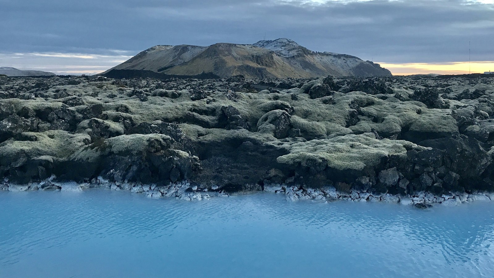
Jutting out into the North Atlantic, the Reykjanes Peninsula forms the southwestern tip of Iceland. Beneath its rugged surface lies a direct link to deep geological forces, as the peninsula is an extension of the underwater Reykjanes Ridge, an exposed segment of the Mid-Atlantic Ridge pulled up above sea level. Here, the Eurasian and North American tectonic plates meet, creating a landscape that is at once dramatic, volatile, and deeply connected to the story of Iceland’s formation.
A moving boundary between continents
Reykjanes Peninsula’s roots stretch back between six and seven million years, when rifting and the activity of the Icelandic hotspot shifted from the ancient Snæfellsnes-Skagi rift eastward, bringing intense volcanic forces to what is now known as Reykjanesskagi. Since then, exposed basaltic rocks have built up layer upon layer, ranging in age from over three million years old to some created in recent decades.
Throughout the millennia, both volcanic eruptions and glacial ice have sculpted the land. Much of the peninsula is blanketed in basaltic lava flows, broken up by the presence of different volcanic forms, cone-like mounds, elongated ridges, crater rows and shield volcanoes. Many of the volcanoes were formed beneath ancient glaciers, which once covered the peninsula until roughly 15,000 to 12,000 years ago. These subglacial eruptions left behind telltale landscapes such as flat-topped mountains and glassy volcanic ridges known as hyaloclastite ridges or tindars.
Patterns of eruption and shifting ground
During the recent Holocene epoch, lava shields emerged in the wake of glacial retreat, built by repeated and long-lived outpourings of lava. Examples include large structures such as Sandfellshæð and Þráinskjöldur, constructed from fluid pāhoehoe lava. Olivine-rich basalt makes up the majority of the peninsula’s post-glacial rocks, reflecting powerful mantle forces at work beneath the surface.
The geological story is far from static. After about 800 years of dormancy, volcanic activity returned in 2020 and has continued into 2024. The eruption of Fagradalsfjall in March 2021 signalled the potential for a new era of eruptions, echoing predictions that volcanic unrest in the area could last for decades.
This restless energy comes from the peninsula’s location on the boundary of several volcanic systems, aligned in an overlapping or en echelon pattern, and oriented in a northeast–southwest direction. The area is crossed by numerous faults and fissures, which follows the trends imposed by tectonic forces at a rate that separates the land by close to 2 centimetres each year. Earthquakes are common, with the largest sometimes reaching magnitude six, a result of the accumulating strain along this complex network.
Today, the Reykjanes Peninsula stands as a vivid example of the interplay between volcanic and tectonic processes. As new lava fields emerge and ancient ridges remain, it offers scientists an open book into how continents drift apart and new land is built from below.


