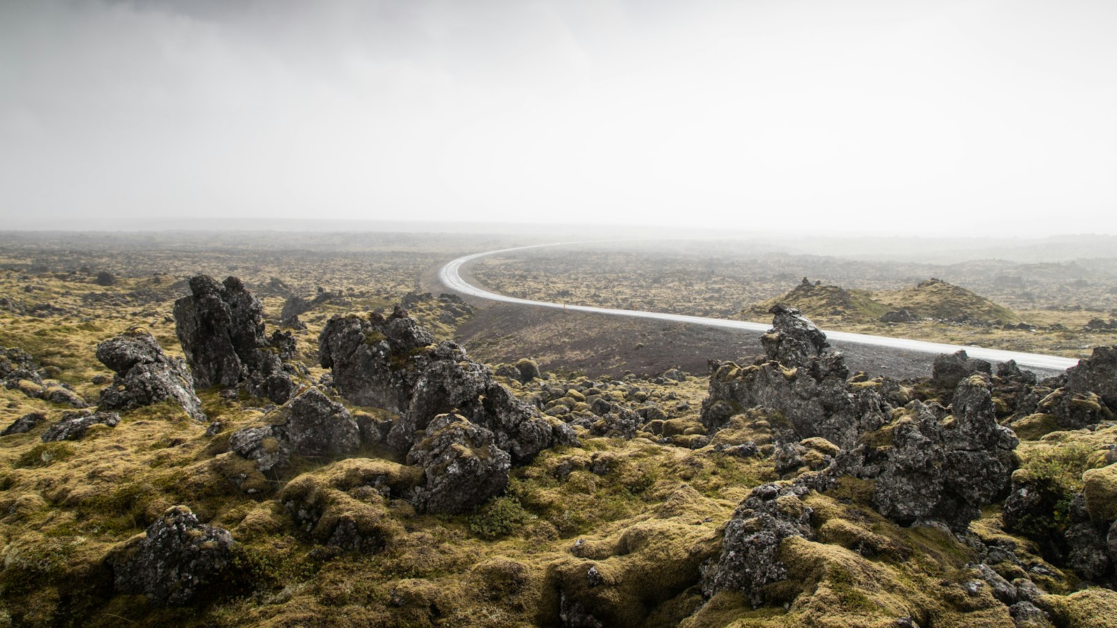
On the Snæfellsnes Peninsula in western Iceland, a volcanic system called Ljósufjöll shapes much of the local landscape. Meaning “Mountains of the Light,” its name comes from the central volcano, whose unusual pale rocks stand out against the darker terrain typical of volcanic Iceland. Ljósufjöll is both a fissure vent system and a central volcano, forming a key part of what geologists call the Snæfellsnes volcanic belt.
A volcanic system spanning the peninsula
Ljósufjöll’s reach is impressive: the system extends about 90 kilometres, with a central ridge capped by its highest peak at 1,063 metres. To its northwest, hyaloclastite hills, formed by volcanic eruptions beneath glaciers or water, accompany wide lava flows that mark previous periods of activity. The system broadens as it moves southeast, stretching toward the Haffjarðará river and approaching Bifröst at the peninsula’s eastern base.
The origins of Ljósufjöll run deep, geologically and in time. While most of the rocks within the system are over three quarters of a million years old, the volcanic belt to which Ljósufjöll belongs is younger than 3.3 million years. The area’s crust measures about 25–29 kilometres thick, and yet it accommodates persistent volcanic activity despite a geothermal gradient that is lower than other Icelandic regions, temperatures rise 40–60 degrees Celsius per kilometre here.
Eruptions shaping the land and history
The composition of Ljósufjöll’s volcanic rocks makes it unique. The central volcano is highly silicic and holds the largest concentration of Quaternary rhyolite in the Snæfellsnes volcanic belt, which gives its rocks their distinctive light colour. Eruptions have occurred twice in the central volcano over the last 4,000 years, shaping much of its current form and deposit patterns.
The broader fissure system is known for its basaltic eruptions, having produced around 17 lava flows during the Holocene epoch. The largest of these flows spans 33 square kilometres. One memorable historic event is the 960 CE ± 10 eruption east of the central volcano, which generated Rauðhálsahraun: a lava field covering 13 square kilometres with an overlying scoria layer that blanketed some 50 square kilometres.
Another significant episode was the Berserkjahraun eruption about 4,000 years ago, recognised through four aligned craters, Kothraunskúla, Smáhraunskúlur, Gráakúla and Rauðakúla, near the northwestern coast. Studies indicate that this eruption drew from magma stored at different crustal depths, echoing patterns found across the Snæfellsnes belt.
Ljósufjöll is notable as the only system on the peninsula to have erupted in recorded Icelandic history. Today, geological attention remains fixed on the region, particularly since increased seismic activity was detected near Grjótárvatn in late 2024. This tremor may signal accumulating magma at depth or ongoing tectonic shifts, a reminder of Iceland’s ever-present geological dynamism.


