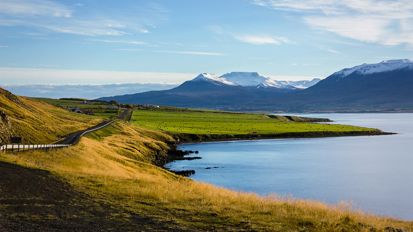
Ingólfsfjall is a distinctive, flat-topped mountain near the town of Hveragerði in southern Iceland. Standing 551 metres high, it has long been an imposing feature of the landscape visible from nearby settlements such as Selfoss. The form of the mountain, a type known as a tuya, tells a geological story that reaches back hundreds of thousands of years.
Volcanic origins shaped by ice and fire
The structure of Ingólfsfjall reveals its origins in subglacial volcanic eruptions. These eruptions first took place beneath thick glaciers, producing layers of volcanic rock including basalt and palagonite. Over time, as the eruptive activity became subaerial, new layers were added to the top of the mountain in the form of lava. At its southern base, a modern quarry displays the sequence of igneous and sedimentary rocks created by these ancient events. The oldest material here is estimated at around 800,000 years, with the main volcanic mass dating between 400,000 and 500,000 years.
After the end of the last Ice Age during the Pleistocene, retreating glaciers led to a rise in sea level, turning Ingólfsfjall into a minor peninsula. The land later rose again as the weight of the glaciers lifted, reshaping the surrounding terrain.
Folklore, legacy and a changing landscape
Ingólfsfjall takes its name from Ingólfur Arnarson, the figure credited in Icelandic tradition as the country’s first permanent Norse settler. According to the medieval Landnámabók, Ingólfur spent his third winter in Iceland beside this mountain before moving on to what would become Reykjavík. One version of the story holds that a mound at the summit contains his burial place. Though rooted in legend, the association has made Ingólfsfjall a cultural touchstone for generations.
The mountain is also notable for its appearance in the daily life of local residents. From Selfoss, it is often considered the town’s own mountain, shaping both the view and local identity. Seafarers too once used a distinct feature, Inghóll, a small mound or spur of the mountain, as a navigational reference.
Ingólfsfjall sits within the South Iceland Seismic Zone, a region of high geological activity. In 2008, a significant earthquake with a magnitude of 6.3 originated directly beneath the mountain, triggering numerous landslides along its flanks.
One visually striking area on Ingólfsfjall’s southwest side is called Silfurberg. Here, rocks appear silver-coloured, standing out from the rest of the mountain. This effect is due to hydrothermally altered palagonite affected by a basaltic dike, not actual silver-bearing minerals, but the contrast has inspired local curiosity and stories.
Sources
- Wikipedia
- Wikipedia (Icelandic) in Icelandic


