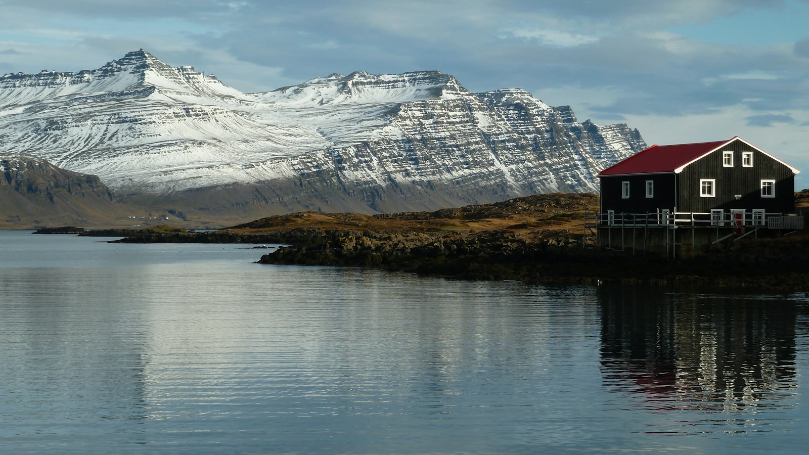
Egilsstaðir, perched on the bank of the Lagarfljót river in eastern Iceland, tells a story quite distinct among Icelandic towns. With a population of 2,632 as of 2024, it is the largest settlement in the country’s eastern region and an important service and administrative centre. Egilsstaðir’s emergence marks a new chapter in Iceland’s urban story, playing a role that contrasts with many communities founded centuries earlier.
The establishment of Egilsstaðir as a town is a relatively recent event, compared to the long histories common elsewhere in Iceland and in Europe. In 1947, surrounding rural districts formally recognised the area’s position at the region’s road junctions. Most Icelandic towns are named for prominent geographical features, but Egilsstaðir takes its name from a single farmstead, a rare practice in the country.
A community born at a meeting point
The name ‘Egilsstaðir’ is first recorded in the fifteenth century as a location for legislative assembly. The person behind the name remains uncertain; it is sometimes credited to Egil Síðu-Hallsson, but there is no proof. What set the site apart in modern times was Jón Bergsson, a local farmer, who at the turn of the twentieth century envisioned Egilsstaðir’s future as a crossroads. He built a large house on the farm, which still serves as a hotel, predicting that the intersection of key routes would spur the area’s growth. Bergsson was instrumental in founding the cooperative Kaupfélag Héraðsbúa (KHB) in 1909 with its headquarters at Egilsstaðir.
Infrastructure followed geography: bridges were built over both Lagarfljót and Eyvindará rivers, and a road was cut through Fagridalur to Reyðarfjörður. With improved connectivity, Egilsstaðir soon hosted mail and telephone headquarters for East Iceland. When the town was officially established in 1947, it incorporated neighbouring jurisdictions and set out with only 110 inhabitants. By 1980, its population had reached 1,133 and continued growth led to its recognition as a kaupstaður, or market town, in 1987.
Shaped by economic tides and Eastern landscapes
The town’s rapid expansion in the early 2000s came with the construction of the Kárahnjúkar Hydropower Plant and Alcoa aluminium smelter in nearby Reyðarfjörður, as new jobs and infrastructure spurred migration to the area. After Iceland’s 2008 banking collapse, Egilsstaðir’s growth slowed, but it remains a regional hub with an airport, gymnasium and health clinic, serving communities that have consolidated under the Múlaþing municipality since 2020.
Egilsstaðir’s climate stands out among Icelandic towns. Its relatively low elevation and location partially shielded from maritime winds allow for warmer summer days, often exceeding 15°C, than much of the country, though nights remain cold. The area registered Iceland’s highest summer temperature of 29.8°C in August 2025 at Egilsstaðir Airport. Its climate has warmed appreciably in the past decades, with records from nearby Grímsárvirkjun and Hallormsstaður suggesting slightly higher precipitation and less sunlight than is likely the case in town.
East of Egilsstaðir, the countryside features Iceland’s largest forest, Hallormsstaðaskógur; the waterfall Hengifoss in Fljótsdalur; Skriðuklaustur, a mansion linked to writer Gunnar Gunnarsson; and local mountain roads such as Öxi, making the town not just a centre for commerce but a gateway to regional natural and cultural points of interest.
Sources
- Wikipedia
- Wikipedia (Icelandic) in Icelandic


