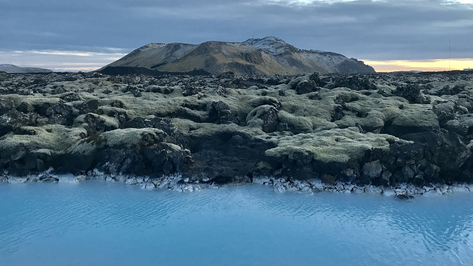
Just south of Reykjavík and Hafnarfjörður, a series of hills and volcanic features marks the presence of Brennisteinsfjöll, translated as the “sulfur mountains.” Rising on the Reykjanes Peninsula in southwest Iceland, these volcanic mountains have played a dynamic role in shaping the local landscape for centuries. Brennisteinsfjöll is a minor volcanic system distinguished by its crater rows, shield volcanoes, and geothermal features, located about 20–25 km from Iceland’s capital.
A volcanic system shaped by plate boundaries
Iceland’s geological identity is tied to the Mid-Atlantic Ridge, the rift where two tectonic plates pull apart. This unique setting produces around 32 volcanic systems across the island, each associated with its own fissures and volcanic landforms. Brennisteinsfjöll lacks the large central caldera found in some other systems, but it fits within the wider Reykjanes Volcanic Belt alongside neighbouring systems such as Krýsuvík, Hengill, and Reykjanes itself. These systems are set in a northeast-southwest pattern, perpendicular to the main direction of the rift.
Brennisteinsfjöll stretches about 45 km in length and spans roughly 10 km in width, covering 280 square kilometres. The landscape features crater rows like Stóra Eldborg and Nyðri Eldborg, shield volcanoes such as Heiðin há and Leitin, as well as subglacial mounds, tuyas, and a variety of craters. Notably, the system includes the Bláfjöll mountain massif and the Rauðhólar rootless cones near Reykjavík, both shaped by past eruptions.
Eruption history and geothermal activity
During the Holocene, Brennisteinsfjöll was the most active volcanic system on the Reykjanes Peninsula, with between 30 and 40 eruptions. Since Iceland’s settlement in the 9th century, there have been around ten eruptions here, the last recorded in 1341. This event, rated VEI-2, may have affected Europe’s climate and contributed to difficult years that followed.
One of the system’s lava flows stretches from Brennisteinsfjöll to the low-lying coast at Herdísarvík, where lava “falls” tumble from the highlands towards the sea. Modern research suggests that some of these flows post-date the settlement of Iceland, as old trails such as the present Route 42 were once overridden by fresh lava.
The region’s geothermal power is evident in steam vents (fumaroles) and hydrothermal alteration zones situated mostly between 450 and 500 metres above sea level. Although surface access can be difficult due to the rugged lava fields, scientists note at least three such areas, some still active, confirming that high-temperature geothermal activity continues beneath the mountains.
Sulfur and stories of mining
True to its name, Brennisteinsfjöll has long been associated with sulfur. In the 19th century, a British operation led by W. G. Spencer mined sulfur here, though the work was difficult. Sulfur deposits filled cracks and holes within the lava, requiring miners to break up the solidified flows to extract their prize. Mining faded by the 1880s, leaving behind ruins and traces of old transportation routes, reminders of how natural resources shaped the area’s human story as much as its geology.
Today, the legacy of eruptions and geothermal energy endures, with protected reserves and parks safeguarding the distinctive landscape of Brennisteinsfjöll. While towns and trails now border these “sulfur mountains,” their volcanic roots remain clear in the land itself.
Sources
- Wikipedia
- Wikipedia (Icelandic) in Icelandic


