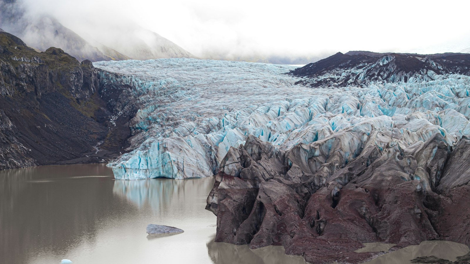
In the far southeast of Iceland, the Breiðamerkurjökull glacier offers more than just a frozen expanse. This dynamic outlet of the vast Vatnajökull ice cap has shaped its region for centuries, both by advancing toward the sea and by withdrawing to create new landscapes in its wake. Its name comes from a vanished farm, Breiðamörk, and from the Icelandic words for ‘broad woodland,’ reflecting even older landscapes hidden beneath the ice.
Breiðamerkurjökull is classified as a piedmont glacier, spreading out as it descends from the Vatnajökull highlands. Over time, as the climate has fluctuated, its edge has marked dramatic shifts in Iceland’s environment. Around the year 900, when Iceland’s first settlers arrived, the glacier’s tongue stretched some 20 kilometres farther north than its modern location.
Glacial ebb and flow is evident in the record of the Little Ice Age, the cool period between about 1600 and 1900. During those years, Breiðamerkurjökull grew, extending until it nearly reached the coast, just a kilometre away from the waves of the Atlantic. But with the warming that began in the 20th century, retreat took over. By the late 1800s, the glacier was already pulling back, and by the end of the 20th century, its total retreat spanned over five kilometres.
Lagoons as witnesses of change
Perhaps the most renowned outcome of this retreat is Jökulsárlón, now Iceland’s best-known ice lagoon. Formed in the 1930s as the glacier withdrew and left a depression, Jökulsárlón has expanded over the decades, and by 2004 covered about 17.5 square kilometres. Floating icebergs calve from the glacial tongue and drift toward the lagoon’s mouth, sometimes taking years before they make their way to the Atlantic. The lagoon is deep by Icelandic standards, reaching 200 to 300 metres in places.
A quieter neighbour, Breiðárlón, formed earlier from the same process, is overlooked compared to Jökulsárlón but equally a product of the glacier’s shifting boundary. Both lagoons expose glacial moraines and sandbanks formed as the ice retreated, and both are part of the living laboratory that is Vatnajökull National Park.
Revealing the past
The gradual retreat of Breiðamerkurjökull continues to expose not just new lagoons but evidence of ancient environments. In 2017, remnants of tree trunks emerged from under the ice, indicating that woodland once grew in what is now a world of ice and lagoons, hints of a region transformed many times by shifting climate and advancing or receding ice.
Three main glacial streams, Esjufjallajökull, Mávabyggðajökull and the largest, Norðlingalæðarjökull, each emerge from the ice dome, separated by nunataks (mountain peaks surrounded by glaciers). Mountains such as the 752-metre Breiðamerkurfjall offer striking punctuation to the otherwise open, icy landscape.
Today, the shifting edge of Breiðamerkurjökull is closely monitored. Annual measurements show that different parts of the glacier retreat at different rates, reflecting the complex interplay between ice, land and climate. As it continues to recede, Breiðamerkurjökull writes new chapters in Iceland’s ever-changing story.
Sources
- Wikipedia
- Wikipedia (Icelandic) in Icelandic


