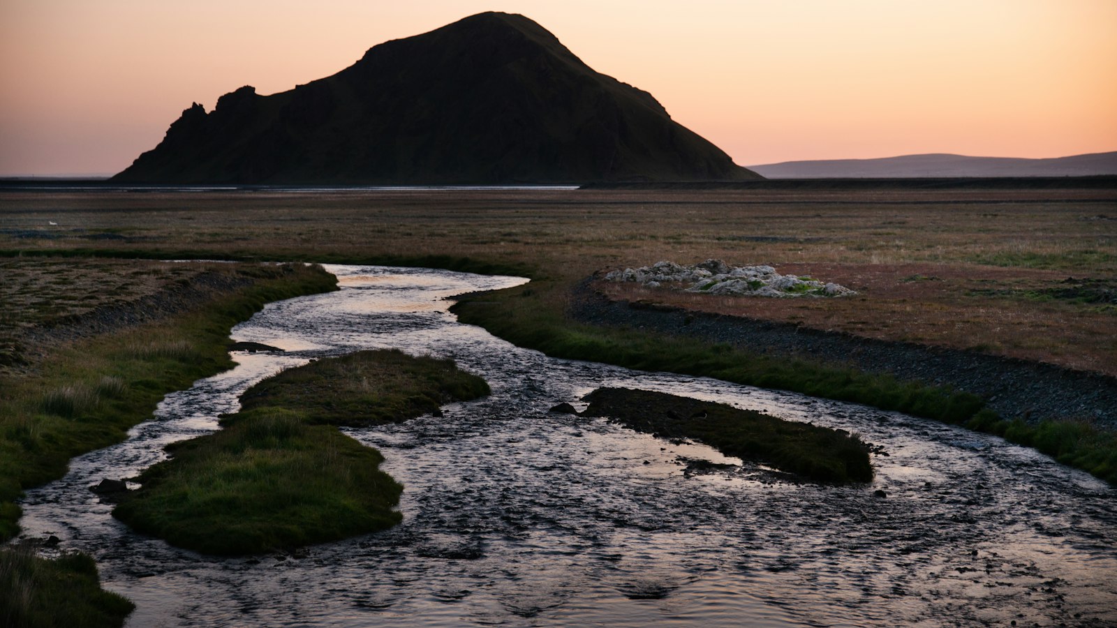
In southern Iceland, where the landscape is shaped by relentless volcanic and glacial forces, the Kúðafljót river has carved its story over centuries. As one of the country’s largest glacier rivers, the Kúðafljót is a living reminder of Iceland’s unpredictable and dynamic natural environment.
Name, history and eruption tales
The river’s name, Kúðafljót, traces back to the early settlement era. According to Landnámabók, a medieval manuscript chronicling Icelandic settlement, the river was named after the ship Kúði, used by Vilbald, an early settler in the Skaftátunga district. Vilbald’s arrival by ship gave the river both its name and a spot in local legend. There are age-old stories of Kúðafljót having once been a navigable fjord, with a trading post possibly located on the island Kúðahólma. Remnants of iron ship fittings were discovered, strengthening the belief that seafaring once extended deep into Iceland’s interior river valleys.
However, geological change is a constant companion in this region. Floods (known in Icelandic as jökulhlaup) from volcanic eruptions under the Mýrdalsjökull glacier above have periodically transformed the river and coastline. Eruptions from Katla, the volcano under Mýrdalsjökull, cause catastrophic outburst floods along the Kúðafljót, shifting the land and leaving behind vast deposits of sediment. These floods are so powerful that old trading stations have been buried beneath layers of debris and sand brought down by the water.
A river of danger and crossings
Before modern bridges, the Kúðafljót was a daunting obstacle for travellers. With deep water, shifting quicksand and no reliable fords, crossing it with horses was risky and required the help of locals familiar with its channels. The river’s ever-changing flow and churning sand made each journey a test of courage. Today, Iceland’s main highway, the Ring Road, crosses the Kúðafljót at a relatively narrow point by bridge, making the journey far safer.
The Kúðafljót has many tributaries, including Hólmsá, Tungufljót and Eldvatn, all gathering water from the southern highlands before streaming past farmlands and meadows on their way to the Atlantic Ocean. The mean volume of water flowing through Kúðafljót is 230 cubic metres per second, but this can vary greatly, particularly during volcanic events when flows have reached 2,000 cubic metres per second.
Shipwrecks and shifting sands
The southeast coast, where the Kúðafljót meets the sea, acquired a reputation as a ship cemetery, especially before the 1950s. During the 19th and early 20th centuries, French fishing fleets anchored nearby, sending thousands of Breton fishermen to Iceland’s hazardous shores each season. In April 1899, the hospital ship Saint-Paul ran aground at the river’s mouth. While the crew survived, the cargo, including food and 900 bottles of wine, was sold off locally, leaving an unexpected windfall for nearby residents.
The Kúðafljót remains closely monitored, as shifts in its water levels are an early signal of volcanic activity from Katla above. Iceland’s Meteorological Office tracks changes in its major tributaries for signs of unrest, making the river as important for science as it is for history and folklore.
Sources
- Wikipedia
- Wikipedia (Icelandic) in Icelandic


