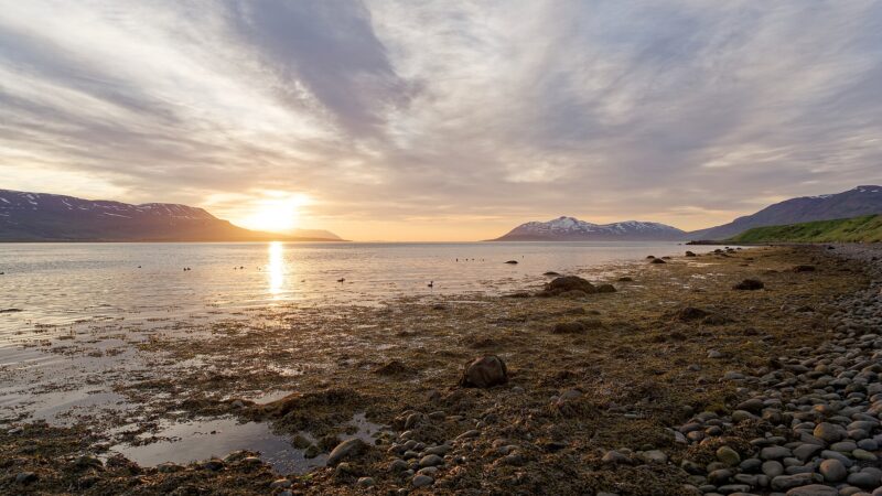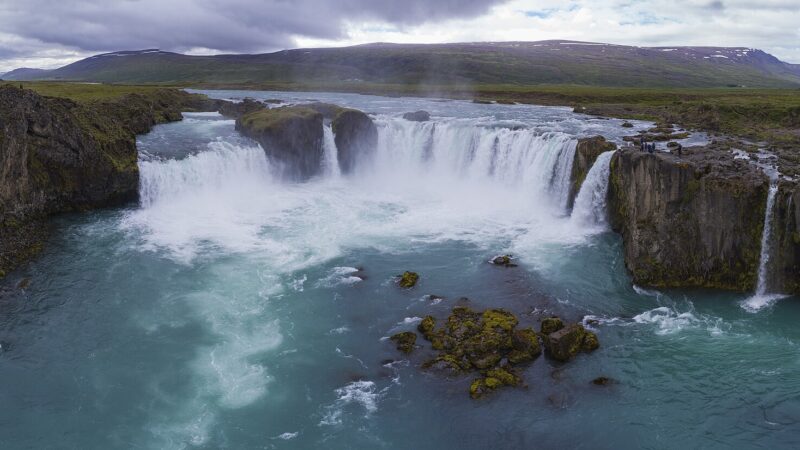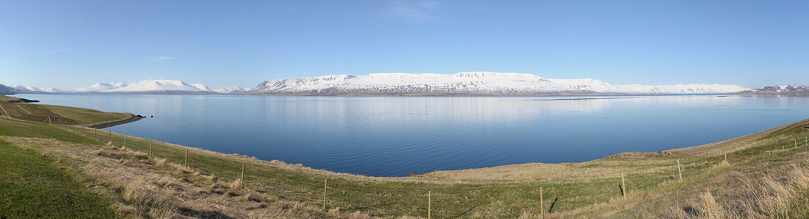
Grýtubakkahreppur is a municipality in the Northeastern Region of Iceland, covering 431 square kilometres. Situated along the east side of Eyjafjörður and north of Akureyri, it is part of Northeast Iceland, or Norðurland eystra in Icelandic. The population has remained stable around 370 to 380 inhabitants between 1998 and 2001, and is noted as approximately 400 in local sources.
Grenivík: The centre of settlement and community life
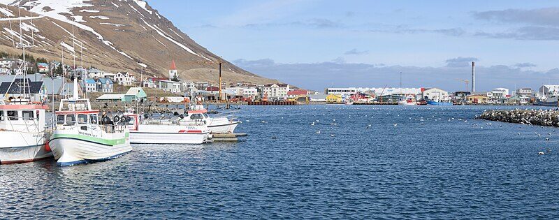
The village of Grenivík stands as the primary settlement within Grýtubakkahreppur. Set near the prominent Kaldbakur mountain, Grenivík is both a fishing village and social hub for the area. Local institutions include a school serving preschool and primary pupils, a bank branch, and a general store, which provide essential local services. Community activities often revolve around Grenivík due to its central location.

Geographical features and traditional boundaries
Grýtubakkahreppur’s territory stretches from the Víkurskarð pass northwards along the Látraströnd coast, with most residents living near Höfði and the sea. Traditionally, the municipality is considered part of Suður-Þingeyjarsýsla rather than Eyjafjarðarsýsla, as defined by Iceland’s customary district divisions. Its landscape, shaped by the proximity to both the sea and mountain terrain, has influenced settlement patterns and local livelihoods.

Sports, identity and local governance
Local sporting life is visible through football club Magni Grenivík, which competes in the third tier of Iceland’s football league and plays its home matches at Grenivíkurvöllur. Public decision-making has shaped Grýtubakkahreppur’s status as a municipality (sveitarfélag in Icelandic). In 2005, residents voted firmly against a proposed merger with other municipalities in the Eyjafjörður area: of 256 votes, only two supported consolidation. This result highlighted a strong sense of local identity and autonomy within the region.
Official information, updates from the municipality, and contact details are available on its website (linked below).
Sources
Image: Hansueli Krapf / Wikimedia Commons (CC BY-SA 3.0) · licence, original (resized) Illustrative image.
Facts last reviewed 24 October 2026. Published 24 October 2026.