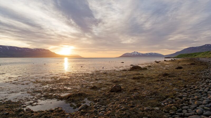
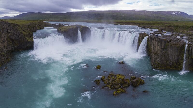
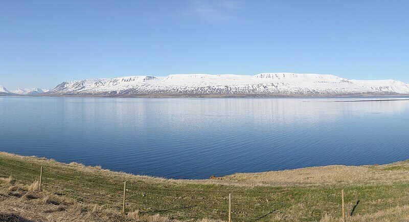
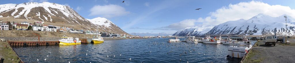
Fjallabyggð is a municipality (sveitarfélag) in northern Iceland on the Tröllaskagi peninsula. It lies within the Northeastern Region (Norðurland eystra) and covers an area of 364 square kilometres. The administrative formation of Fjallabyggð took place in 2006, when the neighbouring municipalities of Ólafsfjörður and Siglufjörður merged following local council elections.
From two communities to one municipality
The decision to unite these towns was closely connected to infrastructure changes in the region. A key factor was the plan to construct the Héðinsfjörður Tunnels (Héðinsfjarðargöng), which now link the formerly separate communities. The tunnels and connecting roads stretch about 17 kilometres. Previously, travel between Ólafsfjörður and Siglufjörður involved either a 62 km journey over Lágheiði pass (open only in summer), or a much longer 234 km detour via Öxnadalsheiði during winter when the shorter route was impassable.
Population change and local governance
Fjallabyggð’s population decreased between 2007 and 2010, from 2,280 residents to 2,066. This reflects wider trends in rural Iceland. The municipality has seen a succession of town council (bæjarstjórn) leaders, including Þórir Kristinn Þórisson (2006–2010), Sigurður Valur Ásbjarnarson (2010–2015), Gunnar Ingi Birgisson (2015–2019), and Elías Pétursson from 2020 onwards.
Character and location
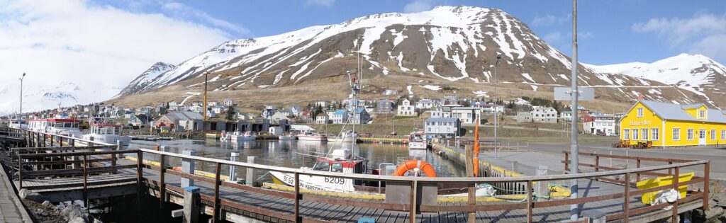
Set at 66.1520 N, 18.9090 W, Fjallabyggð is surrounded by the dramatic landscapes of Tröllaskagi. The municipality’s character is shaped by its fjord-side towns and proximity to the mountains. Current news and updates, including council decisions and local notices, are made available on the official website, where information about services in the area can be found.
Sources
Image: Hansueli Krapf / Wikimedia Commons (CC BY-SA 3.0) · licence, original (resized) Illustrative image.
Facts last reviewed 23 October 2026. Published 23 October 2026.