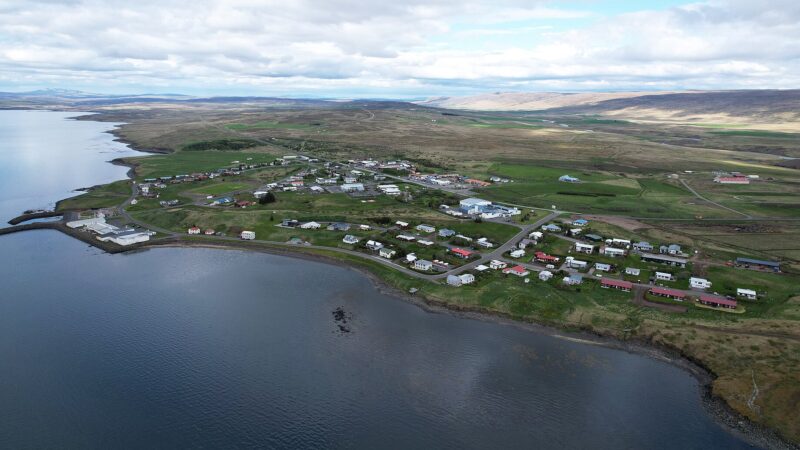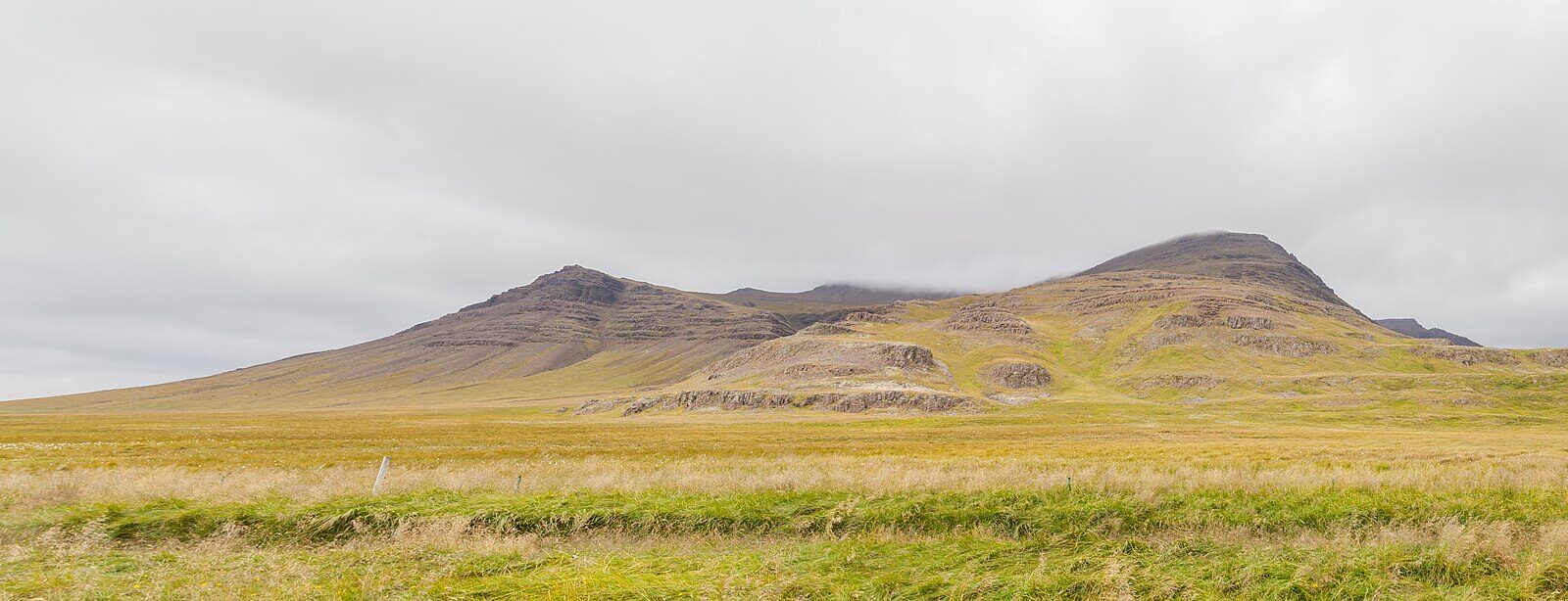
Eyja- og Miklaholtshreppur is a municipality in the Western Region of Iceland (Vesturland), located in the southern part of the Snæfellsnes peninsula. Covering 384 square kilometres, this rural area had a small, stable population of between 115 and 122 residents in annual tallies from 1998 to 2001. The official coordinates are 64.8351°N and 22.5624°W.
A community shaped by land and history
The main economic activity for inhabitants is agriculture, a tradition stretching back to the first settlers. The municipality in its current form was established on 26 June 1994 through the merger of Eyjahreppur and Miklaholtshreppur. Today, a collection of farms and rural clusters dot the countryside, reflecting the enduring focus on farming.
Eyja- og Miklaholtshreppur’s history is closely connected with the early settlement of Iceland. According to the Landnámabók (Book of Settlements), several early settlers claimed land in this area: Sel Þórir Grímsson settled at Ytri-Rauðamelur and took land extending to Kaldár, while Þormóður and Þórður gnúpa Oddsynir claimed territory from Gnúpá to Straumfjarðará. Guðlaugur inn auðgi is known to have settled from Straumfjarðará to Fura in Staðasveit, residing at Borgarholt. Þórður gnúpa established himself at Gnúpudalur, and Þormóður the ‘goði’ (chieftain) lived at Rauðkollsstaðir.
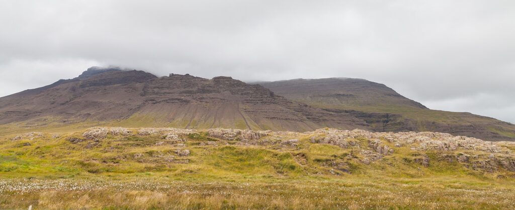
Farms and settlements across the municipality
Today, the area covers a patchwork of named farms and settlements, including Akurholt, Borg, Gerðuberg, Hjarðarfell, Miklaholt, Vegamót, and a number of others. These farms are scattered across the region, each with its own role in the community’s agricultural life and local identity.
Current information, including news and municipal matters, can be found on the official website.
Sources
Image: Diego Delso / Wikimedia Commons (CC BY-SA 4.0) · licence, original (resized) Illustrative image.
Facts last reviewed 21 October 2026. Published 21 October 2026.