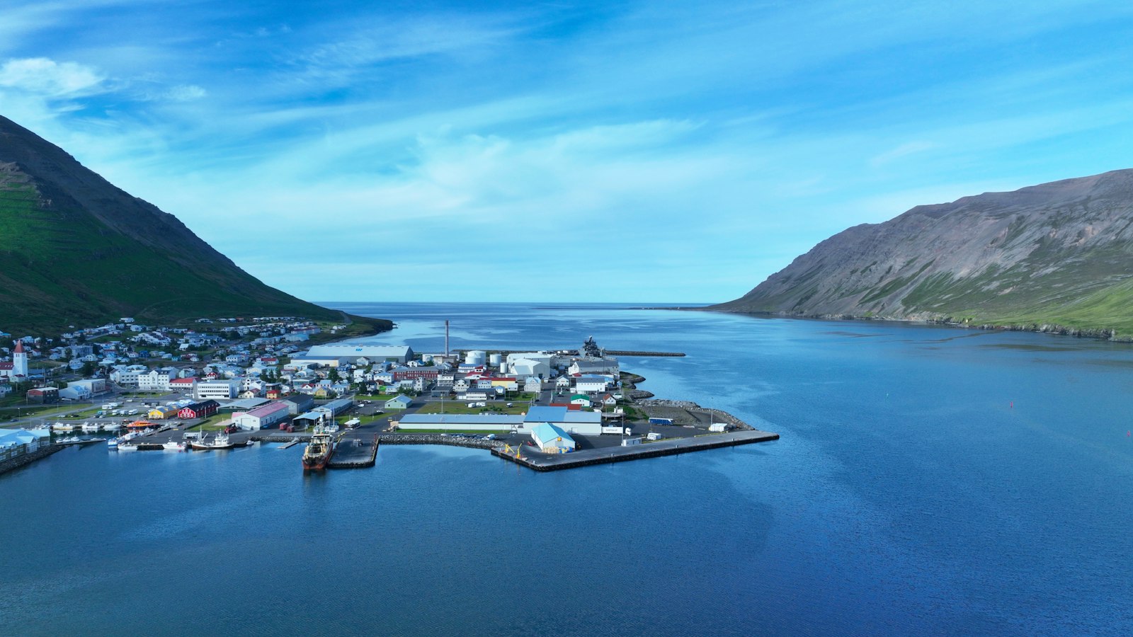
Tröllaskagi, which means “Peninsula of the Trolls” in Icelandic, forms a rugged sweep of land in northern Iceland, reaching out between the fjords of Eyjafjörður and Skagafjörður onto the Greenland Sea. In a country defined by dramatic landscapes, Tröllaskagi stands out for its high mountains, glacially carved valleys, and closely knit settlements clinging to the narrow strips of flat land by the sea.
Mountains over a thousand metres and ancient ice
The peninsula boasts some of the highest mountains in Iceland outside the remote central highlands. Kerling, the tallest peak on Tröllaskagi, rises to 1,538 metres above sea level. Notably, several other summits surpass 1,200 metres, giving the region its distinctive skyline. These mountains are dissected by deep valleys, each shaped over millennia first by glaciers grinding through volcanic bedrock during repeated Ice Age glaciations, and later by the rivers they left behind. While most of the vast glaciers have long since retreated, patches of permanent ice still persist in the highlands of central Tröllaskagi, such as Gljúfurárjökull and Tungnahryggsjökull, though these ice caps are modest in size today.
Farming and fishing in valley towns
Unlike the mountains and high interior, human settlement is focused in the relatively flat coastal lowlands and long valleys. Here, agricultural activity flourishes by Icelandic standards, while several towns and villages base their livelihoods on fishing. Starting in Skagafjörður and moving clockwise around the peninsula are communities such as Hofsós, Hólar, Siglufjörður, Ólafsfjörður, Dalvík, Árskógssandur, Hauganes, Hjalteyri, Hrafnagil, and the largest settlement of all, Akureyri.
Living in Tröllaskagi has always meant negotiating its terrain, especially for travel and trade. The peninsula’s highlands are challenging for transportation much of the year, with passes like Lágheiði often closed by snow for months. The main national road, the Ring Road, finds its northern passage through the mountain pass called Öxnadalsheiði, reaching a height of 540 metres. Winter snows here frequently complicate journeys, though significant resources keep the route open and road closures are relatively rare. Nonetheless, there is ongoing discussion about tunneling solutions to make this vital link more reliable, with some proposals suggesting entirely new tunnels to shorten travel between Akureyri and Sauðárkrókur.
In the last decades, tunnel construction has improved access to remote valleys and towns. Notable among these projects are the Múlagöng tunnel connecting Dalvík and Ólafsfjörður, and the Héðinsfjarðargöng tunnel that continues onward to Siglufjörður. These routes make modern social and economic life possible in areas once largely isolated by the terrain.
Interestingly, the name Tröllaskagi is relatively recent, likely coined in the late nineteenth century. Before then, this striking and rugged peninsula appears to have had no formal collective name at all, despite its distinctive topography and culture.
Sources
- Wikipedia
- Wikipedia (Icelandic) in Icelandic


