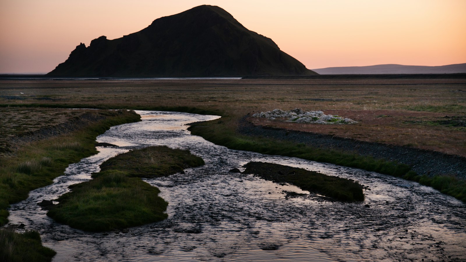
On the southern edge of Iceland, Skeiðarársandur stretches between the mountains and the sea, forming a remarkable plain built by centuries of natural forces. Its size alone sets it apart: covering about 1300 square kilometres, it is regarded as one of the world’s largest glacial outwash plains. The area between the lowland edge near Skeiðarárjökull glacier and the coast runs some 20 to 30 kilometres deep, and its shoreline extends 56 kilometres from Hvalsík to Hnappavallaós.
Skeiðarársandur is the result of a restless interplay between ice, water, and fire. The Skeiðará river and others draw their strength from Skeiðarárjökull, a valley glacier of the vast Vatnajökull ice cap. These rivers carry sediment and rock to the plain, a process intensified when volcanic activity, especially from the nearby Grímsvötn and Öræfajökull volcanoes, melts glacial ice and triggers floods known as jökulhlaup. During the Holocene, rivers and eruptions deposited up to 200 cubic kilometres of material on the sandur. More recently, the eruption of Grímsvötn in 1996 caused one of the largest such floods, temporarily destroying the then newly built 904-metre bridge, the longest in Iceland, on Route 1, the ring road.
Though the ground looks uniform from a distance, Skeiðarársandur is layered through with history. Directly by the glacier, the terrain is strewn with large rocks, which gradually turn to finer sediments as one approaches the sea, where silt and clay are more common. Much of the plain is unvegetated, but birch has begun to spread here in recent years, forming young woodlands in places. Geologists have identified a deep valley beneath the sandur’s modern surface that dates to the last Ice Age, carved by ancient rivers beneath the ice that once blanketed the land. Over the past ten millennia, the plain has grown by roughly one cubic kilometre per century.
Despite its severe environment, Skeiðarársandur supports a surprising variety of life. Both common and grey seals use the coastline as a haul-out site. The area is also recognised as a major nesting ground for the great skua (Stercorarius skua), and serves as one of the primary habitats in Iceland for the saltmarsh plant Puccinellia.
Shipwrecks and rescue history
The shifting sands have caused difficulties for sailors as well as engineers. Numerous ships have run aground here over the centuries, among them the Dutch vessel Het Wapen van Amsterdam in 1667. Local tradition holds that this ‘Gullskipið’, or Goldship, was carrying a fortune in gold and diamonds, inspiring searches for the wreck that have never succeeded. The challenge and hazard of crossing Skeiðarársandur led to the construction in 1904 of Iceland’s first ever shipwreck shelter for survivors stranded on this desolate coast.
Sources
- Wikipedia
- Wikipedia (Icelandic) in Icelandic


