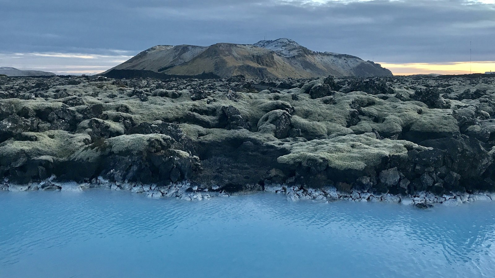
At the southwestern edge of Iceland, the small headland of Reykjanes emerges from the sea. Its name, meaning “smoking point” in Icelandic, reflects the persistent volcanic activity that has shaped not just this headland but the entire Reykjanes Peninsula. Volcanism remains an ever-present influence on the terrain, atmosphere and life in this part of Iceland.
Volcanic origins and shifting ground
Reykjanes is built from dark basaltic lava, its youngest sections formed in eruptions spanning thousands of years. The low hills and rocky cliffs bear witness to the effects of repeated volcanic activity; toward the southern edge, new eruptive fissures and crater rows appear alongside tuff cones and hyaloclastite hills.
The Reykjanes volcanic system, a 5–6 kilometre wide rift zone stretching about 45 kilometres, represents the transition between the rifted underwater Reykjanes Ridge of the Atlantic and the more complex boundary faults of the peninsula. Since the land was freed from glacial ice after the last ice age, at least ten volcanic eruptions have occurred in this segment alone, with evidence of lava as recent as a few centuries ago and eruptions beyond the present day.
The connection between Reykjanes and neighbouring systems, such as Eldvörp–Svartsengi to the southeast, creates a region of significant geothermal potential. Geothermal power plants now harness this energy, producing up to 176 megawatts for towns and industry.
Lighthouse, shipwrecks and steep cliffs
Maritime history is inseparable from Reykjanes. The headland reaches out into a rough sea navigated by generations of sailors. The Reykjanesviti lighthouse, built in 1908 after earlier versions were lost to earthquakes, stands on a hill about a kilometre inland at 73 metres elevation. Its light once marked the boundary of a particularly dangerous strait between the mainland and the 77 metre tall island of Eldey, some 14 kilometres southwest.
The ocean channel (called Húllið) is notorious among mariners. Strong currents and rapidly shifting waves, known locally as the Reykjanesröst, have made it the site of tragic shipwrecks, such as the loss of the Clam oil tanker in 1950 and the wreck of the Jón Baldvinsson fishing trawler in 1955. In both cases, rescue operations involving local teams and basic lifesaving gear saved crew members from the pounding surf below the cliffs.
The coastline itself offers more drama. Valahnúkur and Valahnúkamöl mark the southwestern cliffs, where every storm chips away at the rocky headlands. Caves and tunnels have formed in the lava, with waves forcing water into the chambers and sending fountains skyward.
Wildlife colonies and cultural echoes
Above and around the cliffs, northern fulmars, European herring gulls and ravens gather. The offshore rock of Eldey, visible from Reykjanes, is famed for its dense colonies of northern gannets. These thriving bird populations are part of the wider ecosystem shaped by the peninsula’s volcanic and oceanic meeting point.
Events at Reykjanes ripple through Icelandic history and culture. Local shipwrecks have inspired Icelandic literature, and the headland’s filmic landscapes have appeared in both national and international productions. Yet Reykjanes remains, at its heart, a meeting place between restless geology and the open North Atlantic.
Sources
- Wikipedia
- Wikipedia (Icelandic) in Icelandic


