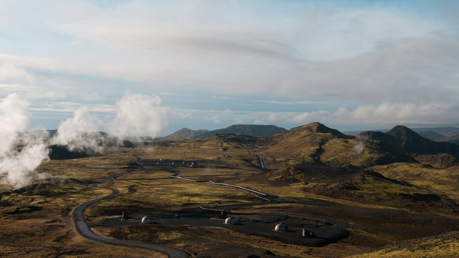
Northern Iceland’s landscape is closely shaped by the active forces beneath its surface. One of the most striking examples is Krafla, a volcanic caldera in the Mývatn region. The site covers an area around 10 kilometres wide and features a fissure zone stretching for approximately 90 kilometres. This makes Krafla one of Iceland’s most significant geological features.
A landscape divided by tectonic forces
Krafla’s location is crucial to understanding its activity. It sits atop the Mid-Atlantic Ridge, where the North American and Eurasian tectonic plates are moving apart. This rift runs through the country from north to south, and many of Iceland’s most active volcanoes have formed along this boundary. The highest point of Krafla rises to 818 metres, and its caldera extends about 2 kilometres deep below the earth’s surface.
Throughout Iceland’s recorded history, Krafla has experienced frequent volcanic eruptions. There have been 29 documented eruptions, some of which have deeply influenced the surrounding landscape and local settlements. The region around Krafla is marked by geothermal activity, including hot springs, steaming vents, and mud pools particularly at sites like Hverir, near the mountain Námafjall.
Fire, farms and geothermal energy
Historic eruptions have left a lasting mark. Between 1724 and 1729, the area witnessed the Mývatn fires, a sequence of eruptions and fissure openings. Molten rock destroyed three farms near Reykjahlíð village, but remarkably, these events did not cause any loss of human life. Much later, from 1975 to 1984, another episode known as the Krafla fires brought nine eruptions and numerous episodes where the ground alternately lifted and subsided. These movements were linked to a substantial magma body detected during periods of significant seismic activity.
Krafla’s volcanic landscape is also a source of renewable energy. Since 1977, hot water and steam extracted from the region’s high temperatures have supplied a 60 megawatt geothermal power station. Geological surveys have shown that at depths between 3 and 5 kilometres, the rock is extremely hot. In 2009, a drilling project reached molten rhyolite just over two kilometres beneath the surface, opening up opportunities for further research and possible scientific drilling directly into the magma. The Krafla Magma Testbed is planning such efforts, aiming to create a hub for international study of Earth’s deep processes.
The area surrounding Krafla remains an evolving intersection of volcanic energy, scientific innovation and Icelandic daily life, showing how environments defined by natural forces can become sources of both challenges and possibilities.
Sources
- Wikipedia
- Wikipedia (Icelandic) in Icelandic


