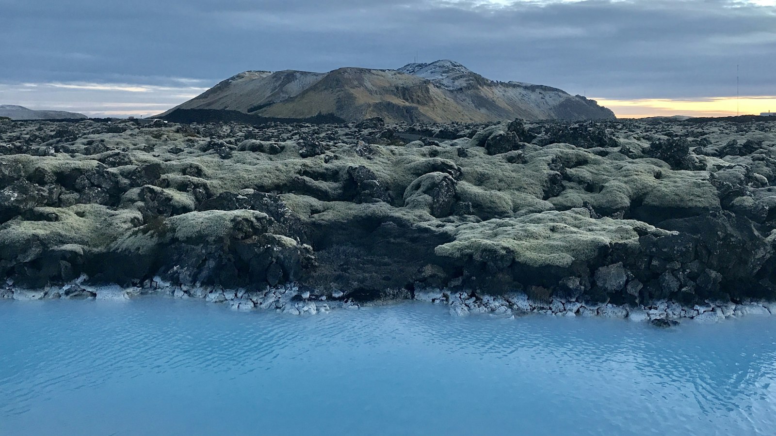
Rising 378 metres above sea level, Keilir is hard to miss on the Reykjanes Peninsula. Its isolated, almost perfect cone has been a reference point for Icelanders for centuries, especially for those navigating the North Atlantic waters southwest of Reykjavík. The mountain’s prominence in the landscape is not just visual, it reveals a dramatic history marked by volcanic eruptions and enormous glaciers.
Born in the age of ice and fire
Keilir is a type of volcano known as a tuya. This geological formation is created when a volcanic eruption occurs beneath a glacier, in Keilir’s case during the Pleistocene epoch. As hot magma surged upwards through thick ice, it melted a subglacial lake around its vent. The mixing of explosive magma and glacial water caused eruptions of tephra, which settled and accumulated into distinct layers, building up Keilir’s mound-like shape.
The mountain eventually grew high enough that water stopped reaching the erupting vent. At this late stage, lava was able to flow, possibly forming a small lava cap at the summit. The result was a near-symmetrical cone with a base measuring 0.99 kilometres wide and a summit just 0.07 kilometres across. The combination of steep sides and flat top makes Keilir recognisable from a great distance, including from Reykjavík nearly 17 miles to the northeast.
A volcanic link
Keilir sits within the active Krýsuvík volcanic system and is positioned on the Reykjanes Rift, part of Iceland’s tectonic boundary. Geological studies compare Keilir to a subglacial tuff cone in Antarctica, but there are key differences. The Antarctic example formed under a cold ice sheet much older than Keilir. Also, while the Antarctic tuff cone appears as a side cone on a much larger volcano, Keilir stands on top of younger volcanic formations, likely the shield volcano Þráinskjöldur. Both mountains are primarily built from a rock type known locally as “móberg”, a kind of volcanic tuff formed under glacial conditions.
Earthquakes occasionally remind locals that the land remains geologically active: in March 2021, tremors near Keilir preceded a fissure eruption farther southwest at Fagradalsfjall. While Keilir itself is considered dormant, its presence links modern Iceland to the deep rhythms of the earth.
A mountain remembered
Fishermen and sailors have long used Keilir as a guide through the often unpredictable coastal waters. Its sharp silhouette stands clearly against the skyline, providing orientation for those approaching the Reykjanes Peninsula or navigating into the sheltered passage of Hamarssund.
Sources
- Wikipedia
- Wikipedia (Icelandic) in Icelandic


