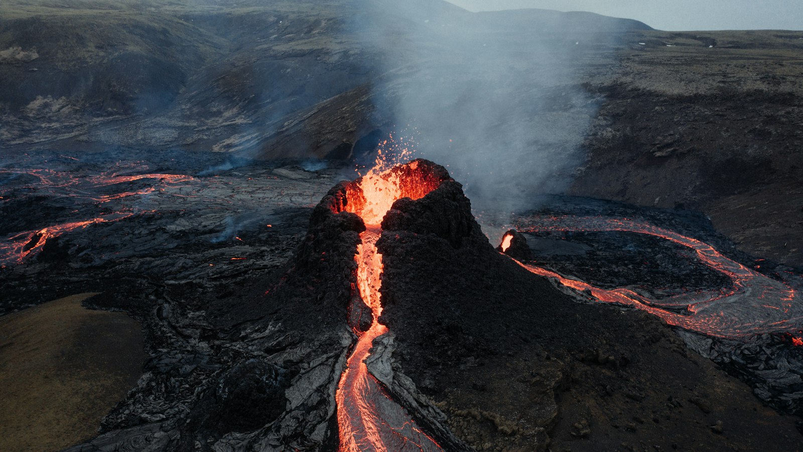
Iceland sits at the heart of one of the world’s largest volcanic features: the North Atlantic Igneous Province (NAIP). This immense geologic structure, sometimes called the Brito–Arctic province, came into being through dramatic volcanic and tectonic forces that still echo across the landscapes on both sides of the North Atlantic.
A plateau shared by distant lands
Around 60 to 54 million years ago, during what geologists call the Paleogene, lava erupted from the Earth’s mantle in volumes hard to imagine today. These outpourings spread out to form what is known as the Thulean Plateau, a giant basaltic plain covering at least 1.3 million square kilometres (500,000 square miles). The sheer volume of volcanic rock produced, at least 6.6 million cubic kilometres, buried the original scenery under thick, dark flows, filling valleys, smothering forests and even covering hills.
The breakup of the Thulean Plateau was triggered by the separation of tectonic plates as the North Atlantic Ocean began to open, pushing Greenland away from Europe. The remnants of this once continuous lava plain are scattered today, forming the bedrock beneath parts of Iceland, eastern Greenland, western Norway, the Faroe Islands, northwest Scotland, northern Ireland, and various islands in the North Atlantic.
Volcanic traces from Scotland to Greenland
The province left its mark in extraordinary ways. In northern Ireland and Scotland, for example, the famous Giant’s Causeway and Fingal’s Cave owe their polygonal basalt columns to these ancient eruptions. Dike swarms and volcanic plugs still stand in places like the Hebrides and northern Yorkshire, while central complexes in East Greenland contain rock formations with unusual combinations of minerals such as palladium and gold or even molybdenum-bearing granite.
Research reveals that the NAIP’s creation was driven by a mantle hotspot. This thermal anomaly beneath the Earth’s crust likely originated on what is now the Alpha Ridge in the Arctic Ocean, drifting south over millions of years and arriving beneath what would become Iceland and Greenland about 60 million years ago. This uplift not only produced vast volcanic landscapes but may also have released enormous amounts of carbon, dramatically warming the planet in an event called the Paleocene–Eocene Thermal Maximum.
The ongoing scientific attention the NAIP has attracted owes much to its accessibility, especially in the British Isles, and its significance in the story of igneous rocks. The early 20th-century work of Sir Archibald Geikie in the Scottish Hebrides played a key role in founding the study of basalt rocks. Since then, generations of geologists have used the province as a natural laboratory to refine theories about volcanic processes, tectonic shifts, and Earth’s climate history.


