Mountains are a defining feature of the Icelandic landscape, drawing visitors with their remarkable forms, geological diversity and the natural wonders found nearby. Ranging from volcanic peaks shaped by eruptions to ancient ridges shaped over millennia, these mountains create some of the most recognisable sights in Iceland.
Mountains with iconic shapes and cultural significance
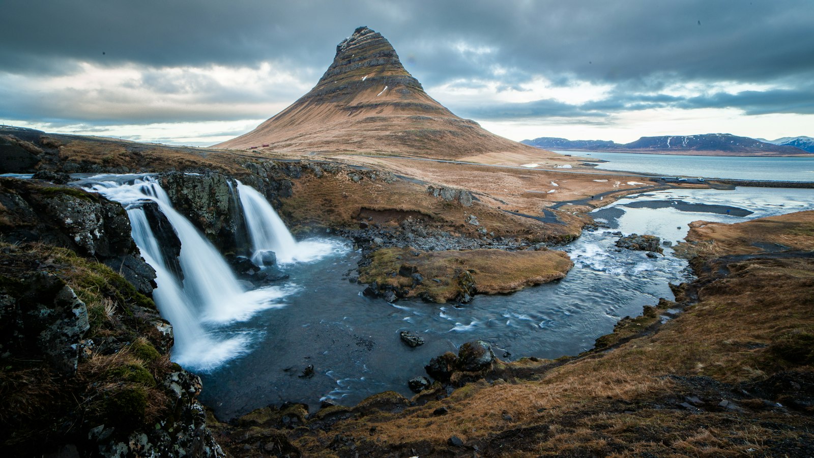
Kirkjufell rises near the town of Grundarfjörður on the northern coast of the Snæfellsnes peninsula. At 463 metres, Kirkjufell is the peninsula’s highest point. Its steep, standalone form has made it one of Iceland’s most photographed mountains, with waterfalls nearby adding to its visual appeal.
Keilir, a 378 metre conical mountain on the Reykjanes peninsula in the southwest, has served as a notable landmark for centuries. Visible from considerable distances, Keilir’s shape made it a site of significance in Viking-era rituals and it is now a popular hiking spot, set amid lava fields, hot springs and caves.
Lómagnúpur, at 764 metres, is another striking peak found towering above the landscape of the Reykjanes peninsula. Its summit and ridges stand out against the sky, often shrouded in mist, providing a memorable backdrop for those travelling in the region.
Popular sites for hiking and geological variety
Hvannadalshnúkur, found in the southeastern portion of Vatnajökull National Park, is Iceland’s highest mountain at 2,110 metres. The surrounding park features glaciers and wetlands in addition to the mountain itself, offering multiple hiking routes and panoramic vistas.
Landmannalaugar, in the highlands, is famed for its multicoloured rhyolite mountains, geothermal hot springs and lava fields. This area draws visitors for both its unique geology and its popularity as a base for hiking and various outdoor activities.
Vestrahorn is a 454 metre basalt mountain in southeast Iceland known for its dramatic coastline views. Its remote location means reaching it can require some effort, but it is a frequent subject for landscape photographers.
Reynisfjall, a 340 metre tuff mountain near Reynisfjara beach, displays the lasting impact of volcanic eruptions from the last Ice Age. Its steep cliffs are home to birds such as the puffin and provide sweeping views of the North Atlantic.
Drangafjall and its distinctive sword-like peak, Hraundangi, rise from the Öxnadalur valley on the road towards Akureyri. The ridge and its small summit were formed after a historic rockslide, and the cluster of hills remains a visually unique feature.
Herðubreið, which stands at 1,200 metres in the Lake Mývatn region, was formed by subglacial eruptions. The flat-topped mountain is viewed in Icelandic folklore as the “queen” among Icelandic mountains, adding cultural significance to its geological rarity.