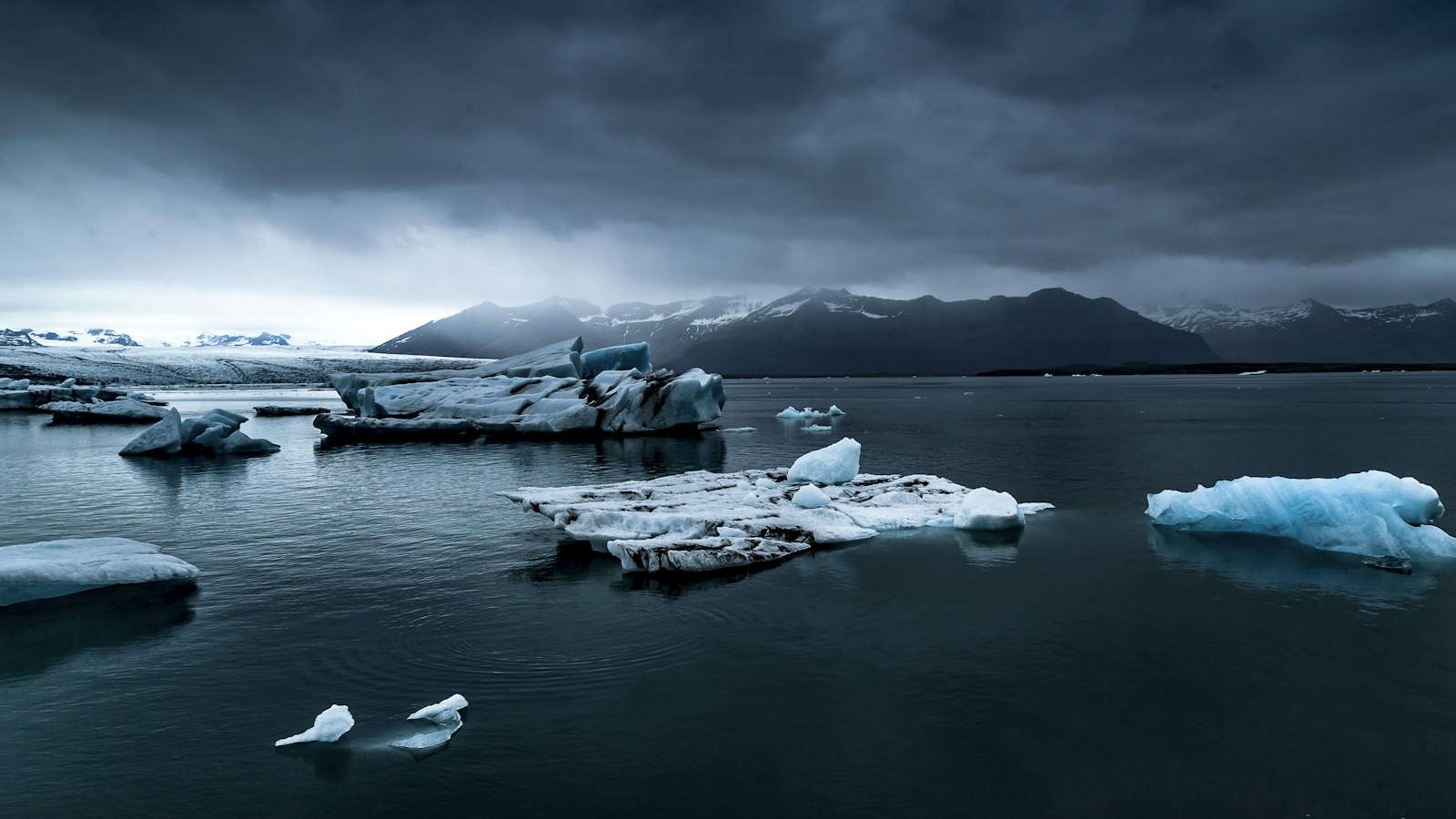
In the southeast of Iceland, Vatnajökull National Park (Icelandic: Vatnajökulsþjóðgarður) stretches across a landscape defined by extremes. Encompassing Europe’s largest glacier, active volcanoes, highlands, wetlands and black sands, it occupies nearly 15,000 square kilometres, about 14 percent of the country’s total area.
The heart of the park is Vatnajökull glacier itself, a vast ice cap covering roughly 7,700 square kilometres. This enormous mass is not just a frozen expanse but a shield concealing a complex terrain beneath: mountains, plateaus and several active volcanoes, including Bárðarbunga and the exceptionally active Grímsvötn.
A tapestry of geology and climate
Landscapes within the park were sculpted by the repeated interaction of volcanic eruptions, glacial movement and rushing meltwater. Towards the north, glacial rivers have carved canyons such as Jökulsárgljúfur, while volcanic mountains like Askja, Kverkfjöll and Snæfell rise over the plateau. The mighty Dettifoss waterfall, among Europe’s most powerful, marks the upper end of the Jökulsárgljúfur canyon, and dramatic formations like Hljóðaklettar and Ásbyrgi’s horseshoe-shaped cliffs punctuate the north.
The high and rugged south is draped with outlet glaciers sliding between mountain ridges from Vatnajökull’s margins down to lowland plains. Here, the central volcano Öræfajökull forms Iceland’s highest peak, Hvannadalshnjúkur. Frequent eruptions at Grímsvötn lay down volcanic ash on the black sands to the west, carried to the coast by so-called jökulhlaups or glacial floods.
Wetlands and broad grazing ranges around Snæfell and farther east offer seasonal habitat for reindeer and migratory pink-footed geese. West of the glacier, historical eruptions, including at Lakagígar in 1783–1784, have left immense lava fields and fissures. The Vonarskarð area, north-west of the glacier, is a vividly coloured geothermal landscape and marks a natural divide between North and South Iceland.
A park shaped by water and weather
The climate across the park is as varied as its topography. South of Vatnajökull, rainfall ranges from 1,000 to 3,000 millimetres annually, with some areas on the ice cap itself collecting up to 5,000 millimetres, much as snowfall. In these upper reaches, snow depths of 10–15 metres are common after particularly wet winters. On the southern ice, winter temperatures remain almost always below freezing, sometimes plummeting to −20 or −30 degrees Celsius, compounded by frequent high winds.
North and east of the glacier, precipitation drops dramatically, some parts receiving as little as 350–450 millimetres annually. Winds from different directions swiftly transform local weather: southerly breezes often mean drier and warmer air in the north, while easterlies can make the east cool and wet but leave the west drier and milder. This pattern is partly caused by the foehn effect, as moist air deposits rain on high ground before descending warmer and drier on the other side.
Since its creation in 2008, Vatnajökull National Park has expanded several times, most recently in 2019, and now brings together regions and former parks such as Skaftafell and Jökulsárgljúfur. This union reflects a globally significant story told through landscapes where fire, ice, and water continually remake the land.
Sources
- Wikipedia
- Wikipedia (Icelandic) in Icelandic


