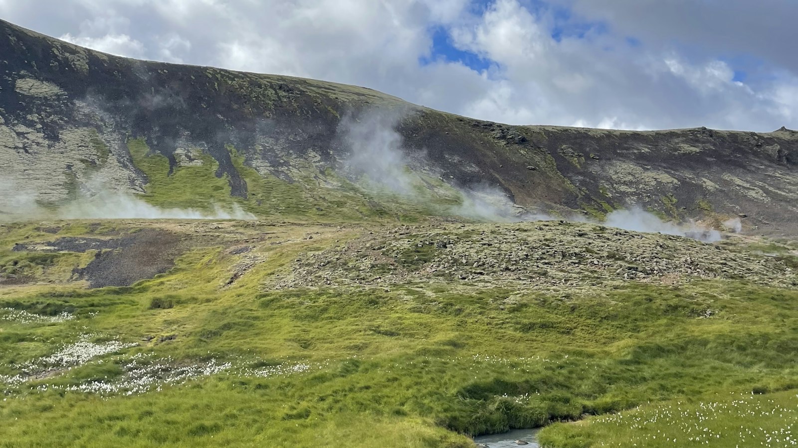
Hengill rises as a table mountain in southwest Iceland, not far from the capital Reykjavík. Visible to travellers passing through the region, this volcanic area stands just south of Lake Þingvallavatn and south-west of the renowned Þingvellir National Park. Hengill’s story is both ancient and ongoing, connecting Iceland’s fiery geological past with its current way of life.
Geological crossroads and geothermal power
Hengill is still considered an active volcano, although its last eruption took place around 2,000 years ago, long before Iceland was settled. Signs of its activity are everywhere, from steaming hot springs and fumaroles to the geothermal fields scattered throughout the region. The area is part of the 60-kilometre Hengill volcanic system, which itself falls within the Reykjanes volcanic belt, a region known for complex volcanic and tectonic activity.
The mountain is largely made of hyaloclastite, a type of rock formed by volcanic eruptions under ice or water, resulting in formations called tuyas and tindars. Its dominant lava is tholeiitic basalt, but andesite and a substantial area of rhyolite can be found within the central mountain. Some of Hengill’s largest lava shields stretch over 50 square kilometres.
The Hengill region marks a triple geological intersection, with the North American, Eurasian, and Hreppar tectonic plates meeting below. This area, known as the Hengill triple junction, features numerous fissures and faults, some of which align in patterns surprising to geologists, revealing a dynamic underground landscape.
A landscape of energy and myth
Three major geothermal areas are tightly linked to Hengill’s fractured bedrock and subterranean heat. The Nesjavellir geothermal system feeds the Nesjavellir power station near lake Þingvallavatn’s western shore. Further south-west lies Hellisheiði, home to the largest geothermal power station in Iceland. The nearby town of Hveragerði, about 45 kilometres east of Reykjavík on the main ring road, has enjoyed hydrothermally heated greenhouses for generations. All these areas rely on the permeability created by Hengill’s countless cracks and faults.
The geothermal resources here are an important energy source for southern Iceland. Risk from volcanic activity is officially considered mostly local, within about a 30-kilometre radius. Hazards include lava flows, faulting, volcanic gas, and effects on geothermal power infrastructure.
The region isn’t just about geology. Folk tales collected by Jón Árnason in the nineteenth century recount stories like that of Jóra, the troll woman said to have haunted the trails north of Hengill, or the tale of Halla, connected to one of Iceland’s most famous outlaws.
Hengill’s presence is embedded in the daily lives of the region, shaping its energy, landscape, and even local legend.
Sources
- Wikipedia
- Wikipedia (Icelandic) in Icelandic


