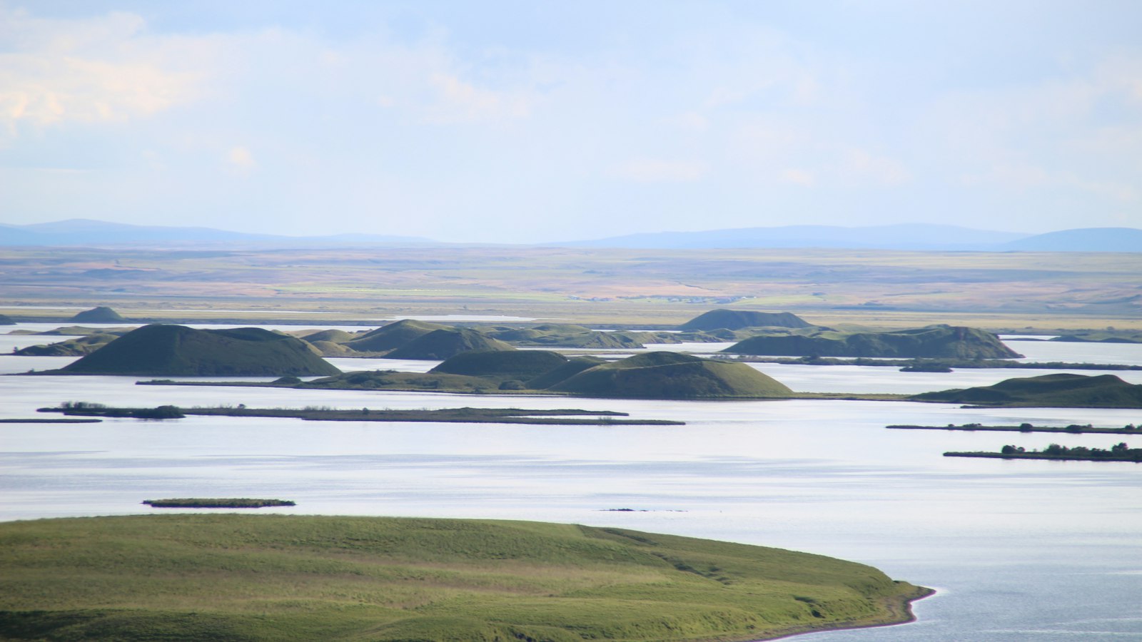
Reykjahlíð occupies a remarkable position in north Iceland, right on the shoreline of the renowned Lake Mývatn. As the administrative centre of the municipality Þingeyjarsveit, it is a small settlement with a population of 227 as of 2021. At 292 metres above sea level, Reykjahlíð stands higher than any other town in the country, exposed to the elements and surrounded by landscapes shaped by centuries of volcanic activity.
A village saved by faith and geology
The story of Reykjahlíð is closely entwined with Iceland’s most dramatic natural forces. In 1729, the village faced destruction during the eruption of Krafla volcano, one of several events known as the Mývatn fires. On that occasion, a stream of lava swept towards the community. According to local tradition, villagers were spared when the flow stopped at the site of the church, located on slightly higher ground. The survival of the people was attributed to the prayers of the priest. The original church no longer stands, but its current replacement, built in 1972, remains a landmark and reminder of that period.
Faith, folklore and daily life remain closely connected in Reykjahlíð, where the proximity of lava fields and constantly changing geothermal features are part of the local reality, not just the past.
Living with volcanoes and the changing land
The influence of dynamic geology persists. The Krafla volcano last erupted in 1984, but activity remains visible as steam rises from warm lava fields and sulphur springs in the surrounding area. Near Krafla is the volcanic crater called Víti (Icelandic for “hell”), notable for its blue lake, seemingly peaceful despite its history of eruptions, with the last one occurring in 1976.
Around Lake Mývatn, other volcanic phenomena are prominent: Hverfjall, a classic tephra cone; the pseudo-craters of Skútusstaðir; and Dimmuborgir, where lava formations create a stark and unusual landscape. Earth energy continues to fuel the local economy, with Landsvirkjun (the National Power Company) operating geothermal power plants at Bjarnarflag and Krafla nearby. The village also once hosted a diatomite extraction plant, which played a key role in local employment before closing in 2004.
Reykjahlíð’s climate reflects its northern, elevated location. The area is classed as tundra climate, bordering on subarctic, with short, cool summers and long, cold winters. Temperature extremes have ranged from −31.2 °C in March 1998 to 28.2 °C in August 2004, a wide span that mirrors the volatile natural landscape.
Despite its isolation and often severe weather, the village maintains its role as a centre for sports (with Íþróttafélagið Mývetningur athletic club), administration, and as a base for those living and working across the farmlands and geothermal fields stretching from the lakeshore to the lava deserts at the edge of Ódáðahraun.
Sources
- Wikipedia
- Wikipedia (Icelandic) in Icelandic


