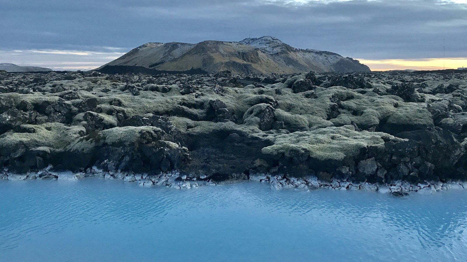
Along Iceland’s southwest tip, the Reykjanes Peninsula extends into the Atlantic as both geological boundary and historical witness to volcanic extremes. Its foundation lies at the meeting point of the Mid-Atlantic Ridge, where the Eurasian and North American tectonic plates slowly pull apart. This ongoing movement fuels a pattern of eruptions and rift openings. The peninsula’s landscapes, with vast basaltic lava fields, volcanic crater rows, and ridges, are material evidence of its turbulent past.
A cycle of fire and silence
Between 1210 and 1240, the region experienced a series of significant eruptions known in Icelandic as Reykjaneseldar, or the Reykjanes Fires. Historical annals and sagas describe a string of both land-based and offshore eruptions. These events covered large swathes of the peninsula with thick blankets of lava and tephra, volcanic ash particles, altering not only the geography but also the prospects for those living nearby.
The eruptions unleashed devastation on livestock and local economies. When ash fall was heavy, as in the so-called Sand-Summer of 1226, the resulting grass failure led to mass starvation among animals. People were not spared either; chroniclers note deaths caused by the earthquakes that accompanied these volcanic episodes.
Several named lava fields remain as monuments to these years: Yngra Stampahraun, Eldvarpahraun, Illahraun and Arnaseturshraun. The chronology is complex, as eruptions sometimes merged or followed closely, such as the events of 1211, believed to have created tuff cones at Vatnsfell, and the 1240 eruption producing a bloody-red sky, likely from a sulphur-rich volcanic plume. One ash layer from this time, called Miðaldarlagið or the Middle Ages Tephra, settled as far as Reykjavík, marking a clear boundary in the geological record.
A dormant landscape reignites
After those medieval eruptions, volcanic activity on the Reykjanes Peninsula ceased for eight centuries. This period of calm was dramatically ended in 2021, when lava once again broke through at Fagradalsfjall. The years since have seen multiple eruptions at Fagradalsfjall and at Sundhnúkur, with nine events recorded at Sundhnúkur between 2023 and 2025. These recent outbursts are often described as the New Reykjanes Fires, drawing a line from present-day phenomena back to the 13th-century sequence.
Today, the Reykjanes Peninsula remains under the watch of scientists, who monitor both its ancient scars and its renewed activity. For Icelanders, the Reykjanes Fires are not just distant history: they have shaped both land and livelihoods, reminding all who live nearby that the peninsula’s fiery forces persist over centuries.
Sources
- Wikipedia
- Wikipedia (Icelandic) in Icelandic


