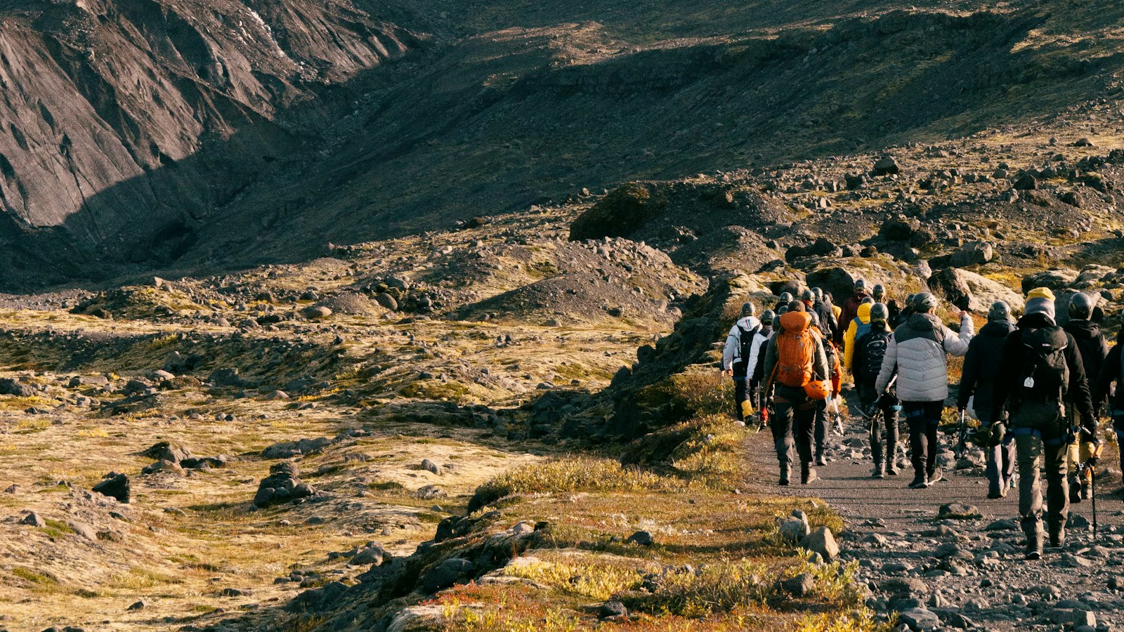
On the southern side of Iceland lies Tindfjallajökull, a glacier whose name refers not only to its icy cap but also to the stratovolcano resting beneath. The Icelandic word “jökull” means glacier, while “Tindfjöll” translates as “peak mountains,” highlighting the sharp forms that rise from the landscape. This duality gives Tindfjallajökull a special place among Iceland’s glaciers, bound to geology and language alike.
Peaks named for myth and landforms shaped by fire
The highest summit on Tindfjallajökull is Ýmir, reaching 1,462 metres (4,797 feet). Its name is drawn from the giant Ýmir of Norse myth, connecting the landscape to ancient stories. Ýma, a neighbouring peak just to the east, stands about 500 metres (1,600 feet) away. Other peaks punctuate the glacier’s crown, including Sindri and Ásgrindur to the north, and the Vestriöxl prominence on the east. To the south, the distinct asymmetrical plateau of Þórólfsfell rises to 595 metres (1,952 feet), serving as a reference point for a class of volcanoes known as tuyas.
Tindfjallajökull’s caldera stretches approximately five by seven kilometres (3.1 by 4.3 miles) across. It is part of a central volcano that spans 15 to 20 kilometres (9.3 to 12.4 miles) in diameter. Across its history, the volcano has produced both basaltic and rhyolitic rocks, indicating eruptions of varied intensity. While the last eruption likely occurred in the Holocene, major mountain-building events took place more than 55,000 years ago. The distinct form of Þórólfsfell is important for understanding tuya volcanoes, showing development where glacial meltwater was able to escape, a contrast to other Icelandic examples.
A glacier in retreat and rivers reshaped
At its largest, Tindfjallajökull’s glacier covered about 22.6 square kilometres (8.7 square miles) in the 1890s. By 2019, its area had diminished by 45 percent, reduced to just 12.4 square kilometres (4.8 square miles). Glacial mapping over decades paints a story of persistent retreat. The Eystri Botná valley contains the only remaining outlet glacier with a visible moraine, though it has shown dynamic surging and shrinking since the 1990s. On the slopes, disintegration has led to separate smaller glaciers, including one known as Blesárjökull to the north. A glacier on Ýma’s east side, called Ýmujökull, has vanished entirely.
Meltwater from Tindfjallajökull gives rise to numerous rivers. Hvítmaga flows northeast, Gilsá southward, Þórólfsá to the southwest, Valá northwest, and Blesá to the north. These waterways ultimately feed either the Markarfljót or Eystri Rangá rivers, linking the glacier’s fate to a wider network in southern Iceland.
Geothermal activity endures in the area. At Hitagil, to the southeast, a hot spring signals heat from below, a reminder of volcanic forces persisting in the quieter present. North-east of the glacier, the pale rhyolitic hill Sultarfell sits among old fissures, another hint of the complex geology beneath the ice.
Sources
- Wikipedia
- Wikipedia (Icelandic) in Icelandic


