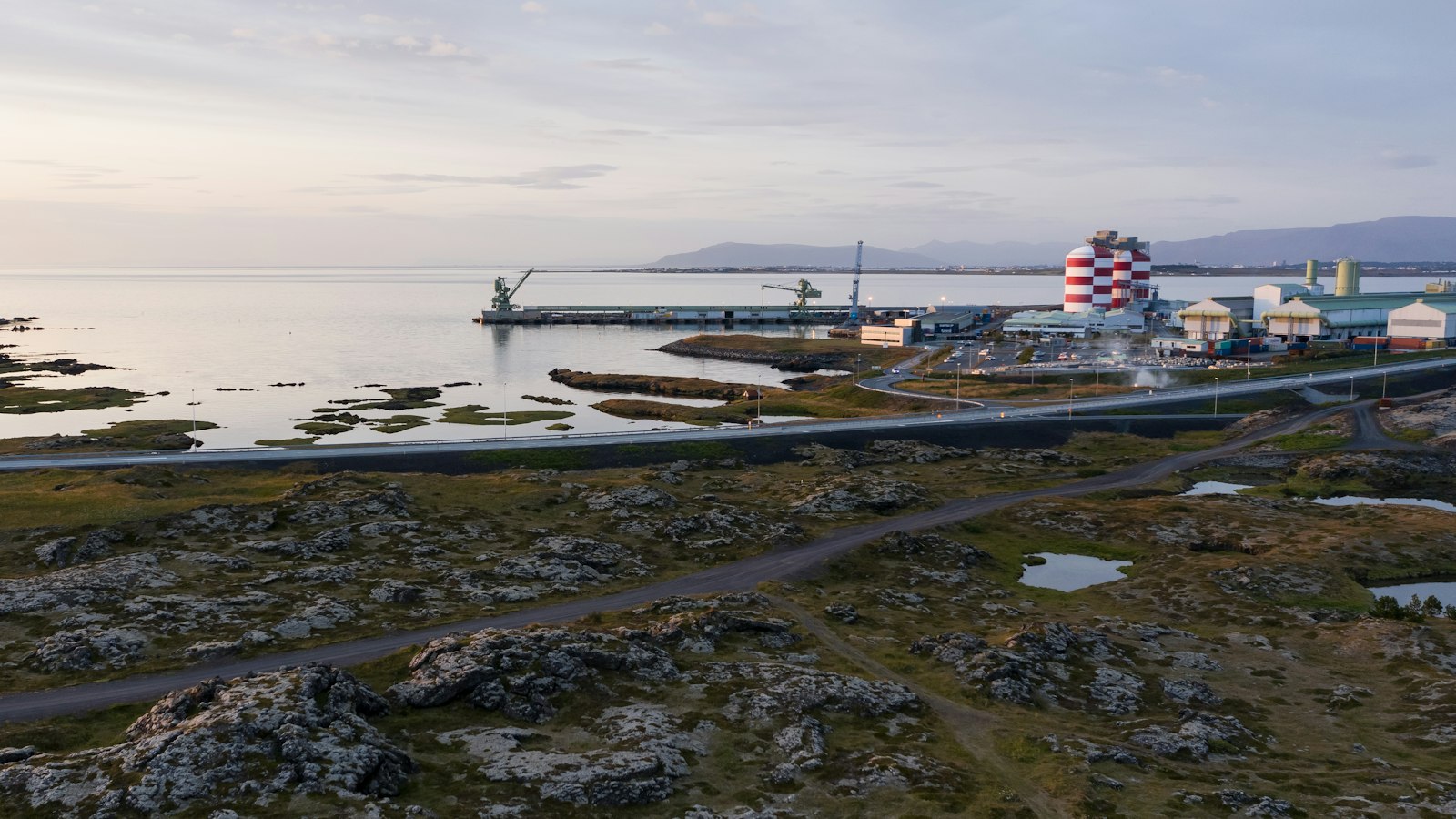
Helgafell rises 338 metres on the Reykjanes peninsula, southeast of Hafnarfjörður and within sight of Reykjavík. Its name, which means “holy mountain” in Icelandic, echoes a mystery that spans centuries. Such mountains were believed to play a significant, if now obscure, role in Viking beliefs, perhaps acting as sites of ritual or observation.
An enduring curiosity surrounds the ancient cairn at Helgafell’s summit. An architect from Reykjavík once measured its alignment, alongside those of nearby peaks, and proposed that Vikings could have developed a calendar here, using the sun’s position and the shadows cast by these markers. While direct evidence is rare, this interpretation ties the mountain to the earliest known attempts at Icelandic timekeeping.
Glacial origins and volcanic structure
Helgafell is a classic example of a hyaloclastite ridge, volcanic rock formed when eruptions meet the immense pressure and chill of a Pleistocene glacier. During the last Ice Age, over 500 metres of ice overlay the region. When fissures opened beneath this enormous shield, volcanic activity created an explosive display, melting ice, producing rapid water flow, and shaping Helgafell’s profile. The ridge, originally about two kilometres long, formed in the space of days as magma fragmented beneath the ice.
The mountain stands in one of Iceland’s most geologically dynamic areas. The Krýsuvík volcanic system, to which Helgafell belongs, remains active, Reykjanes peninsula saw its most recent eruption in February 2024. Surrounding Helgafell, thick lava fields (some between 40 and 80 metres deep) emerged from both local flows and the nearby Brennisteinsfjöll system, further shaping the landscape after the glacier withdrew.
Helgafell’s composition is unusual when compared to smaller subglacial volcanoes. The fast drainage of meltwater during its creation allowed the explosive activity to dominate, so most of the mountain consists of palagonite, a volcanic glass altered by water, while pillow lava is nearly absent. Wind and landslides have since removed or shifted portions of the summit, adding another layer to its evolving shape.
Local legend and daily life
The area around Helgafell intertwines natural history with local folklore. Kaldársel, a hut managed by an Icelandic youth organisation, lies nearby and is named after the intermittent river Kaldá. The river itself is part of the region’s drinking water resources, accessible by road from Hafnarfjörður, but also the subject of folk tales. One story tells of a man who, after losing two sons to drowning, used mystical skills to send the river underground.
Today, Helgafell’s profile is familiar to residents of Hafnarfjörður and the capital region. Despite its modest height, it offers striking views over the greater Reykjavík area as well as the Reykjanes peninsula. Several established trails curl around and up the mountain, including sections of the long-distance Reykjavegur and the old Selvogsgata, connecting walkers with both the area’s volcanic legacy and its ongoing human story.
Sources
- Wikipedia
- Wikipedia (Icelandic) in Icelandic


