Few roads in Iceland cross such a variety of landscapes as Route 35. Stretching for 237 kilometres, it begins amid the green pastures near Selfoss in the south before climbing through river valleys, geyser fields and stark highlands to finish in the north at Blöndudalur.
From fertile farmlands to iconic geysers
The southern section is called Biskupstungnabraut, ‘Biskupstungur Road’ in Icelandic. This 69-kilometre stretch forms the main route through the Árnessýsla region, linking key local settlements and landscapes. Beginning a short distance from Selfoss, it passes important crossroads, including routes to Þingvellir, Laugarvatn and the Skálholt area. Along this road, drivers encounter some of Iceland’s most recognisable attractions: the geothermal area at Geysir, the powerful waterfall Gullfoss, the volcanic crater Kerið and Faxi waterfall on the Tungufljót river. Reminders of the changing times are visible, where once a bridge built in 1905 greatly improved travel across Alviðra, the modern bridge constructed in 1983 now stands.
Crossing the Kjölur plateau
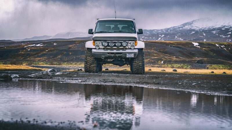
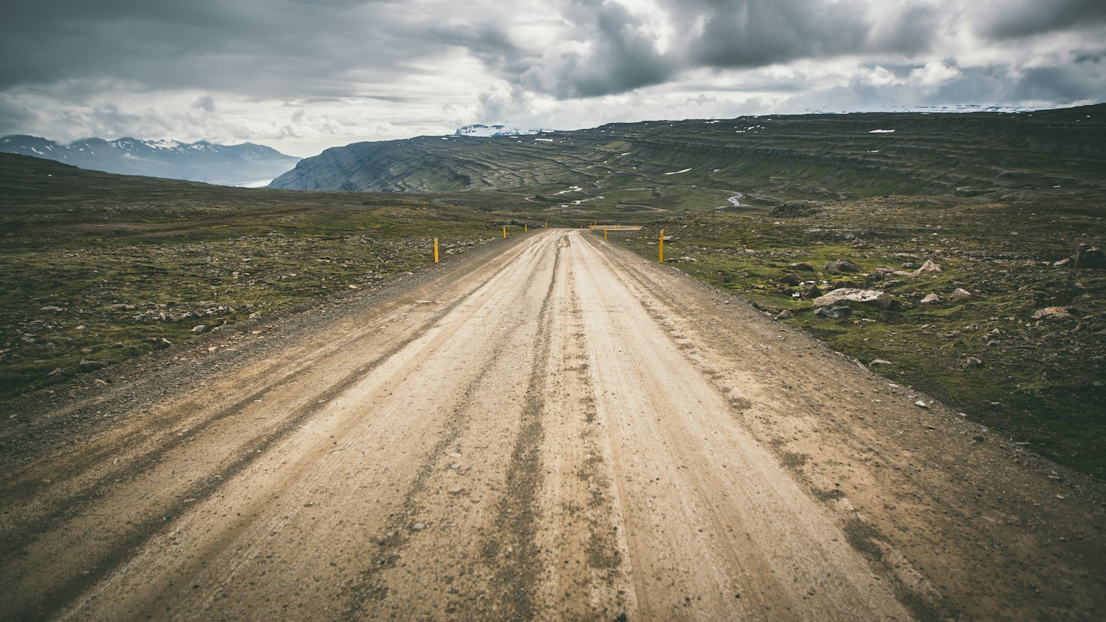
Beyond Gullfoss, Route 35 transforms. The road’s character changes as it becomes Kjalvegur, a highland track known today as F35. This northern segment covers 168 kilometres, leading over the Kjölur plateau, a bleak and windswept region historically significant for travel between the country’s north and south. At the outset, the road involves fording a river, emphasising its wild and remote nature.
Kjalvegur skirts close to landmarks such as Hvítárvatn lake and Hveravellir’s steaming geothermal fields. Eventually, the road descends towards cultivated land at Blöndudalur in the northwest, ending at the junction with Svínvetningabraut (731) at Langamýri. Over recent years, small extensions and improvements have changed its final approaches and connections.
Throughout its length, Route 35 not only links well-known natural sights but also provides a tangible connection between Iceland’s settled agricultural regions and the untamed interior. Its contrasts capture the diversity that defines much of the island’s geography and history.
Sources
- Wikipedia
- Wikipedia (Icelandic) in Icelandic