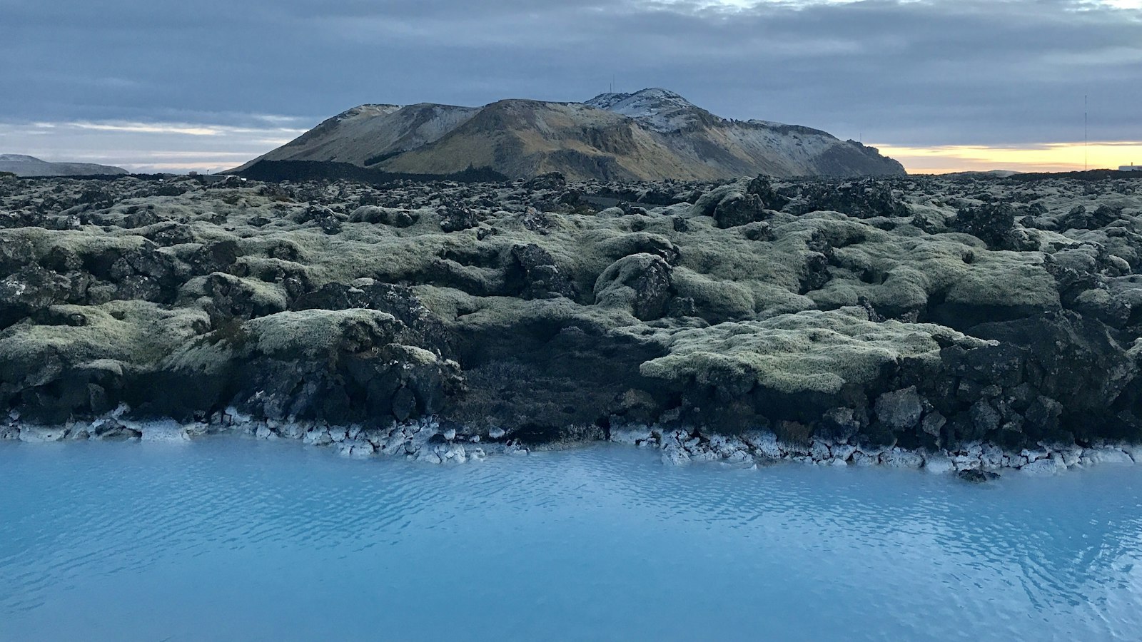
Southwest Iceland is defined by dramatic geological forces, and few areas exemplify this more than the Eldvörp–Svartsengi volcanic system on the Southern Peninsula. Located southeast of Keflavík International Airport and just north of the fishing town of Grindavík, this system of fissures, cones and craters stretches roughly 30 kilometres from northeast to southwest, measuring up to 7 kilometres wide.
The Icelandic names paint a picture of the landscape, Eldvörp means “fire cones,” while Svartsengi translates as “black meadow.” The system is framed by volcanic hills such as Þorbjörn, Hagafell, Sundhnúkur, Sýlingarfell, Stóra-Skógfell and Litla-Skógfell, with these features scattered along the fissure zones.
The wider region, including the Reykjanes volcanic belt, sits directly atop a rift zone where the North American and Eurasian tectonic plates pull apart. Eldvörp–Svartsengi, along with neighbouring systems like Reykjanes and Fagradalsfjall, is shaped by this tectonic context, with basaltic lavas, picrite and tholeiite, emerging from effusive eruptions. These eruptions typically generate lava flows and modest tephra fallout, but little explosive activity.
From centuries of silence to newfound activity
Historically, the Svartsengi system exhibited recurring volcanic activity with a cycle of roughly a thousand years. During the Holocene, the system experienced between twelve and fifteen eruptive periods. The most recent major series before the 2020s occurred between 1210 and 1240 during the period known as the Reykjanes fires. In these decades, eruptions at Svartsengi produced around 50 square kilometres of new lava.
After more than 800 years of dormancy, unrest returned to this region at the close of 2019. The first signs were episodes of uplift near the hyaloclastite mountain Þorbjörn, followed by swarms of earthquakes and four magmatic intrusions up to 2023. Seismic activity surged at the end of October 2023, with up to 10,000 tremors, some above magnitude 5, recorded by 1 November. Significant land uplift and ground deformation indicated magma was accumulating at depth, and the town of Grindavík, just 4 kilometres south of the system, was evacuated owing to the risk.
Eruptions near people and infrastructure
The first eruption in centuries began on 18 December 2023, with a 3.5-kilometre-long fissure north-east of Grindavík sending lava flows into the landscape. This and subsequent eruptions, several occurring in 2024 and 2025, sent lava dangerously close to infrastructure and led to multiple evacuations in Grindavík. Some eruptions reached the edge of town, even destroying buildings, while emergency protective measures such as berms were raised to shield the important Svartsengi Power Station.
Critical facilities, including the busy Blue Lagoon, formed in 1992 in the mineral-rich discharge from the power station, were directly affected by the ongoing seismic and volcanic events, with closures during the strongest earthquakes and eruptive phases. The repeated activity in 2023–2025 highlights Iceland’s ever-present geological dynamism, as ancient landscapes are both threatened and renewed by vulcanism within sight of towns and cities.
Sources
- Wikipedia
- Wikipedia (Icelandic) in Icelandic


