Iceland’s unique position on the mid-Atlantic ridge makes it one of the most volcanically active places on earth. Many volcanoes across the country have shaped both the landscape and local culture, with eruptions often leaving a lasting mark. Icelanders have developed monitoring systems and emergency plans over decades, and both officials and scientists closely supervise areas of activity.
Volcanoes in the Highlands and Beyond
Bláhnúkur, or the Blue Peak, rises above the geothermal area of Landmannalaugar in southern Iceland. Its colourful slopes and accessible hiking trail offer wide views of volcanic and glacial landscapes. Nearby Brennisteinsalda shares similar features and is often the first ascent for hikers on the well-known Laugavegur trail.
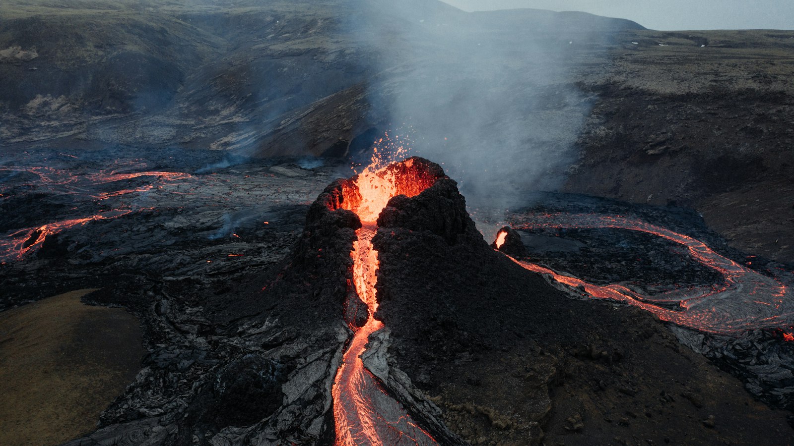
The Fagradalsfjall area gained international attention with its eruption in 2021, the first in 6,000 years. Situated in Geldingadalur valley, the eruption created new lava fields that continue to evolve as seismic activity persists. Visitors to recent eruption sites on the Reykjanes Peninsula, such as Meradalir, are advised to follow all official guidance and stay informed about current conditions.
In the northeast, Herðubreið stands isolated on the Ódáðahraun lava field. Once thought unclimbable, this tuya-type volcano was only summited in 1908. Local tales connect it with outlaws and Iceland’s past, while its steep slopes continue to attract hikers and history enthusiasts.
Eruptions That Shaped History
Eldfell, on Heimaey in the Vestmannaeyjar (Westman Islands), erupted in 1973, leading to a well-documented emergency evacuation and the enlargement of the island. The eruption’s cooled lava created new geological features, including the well-known Elephant Rock. Visitors can learn more about these events at the local Volcano Museum.
Hekla, visible along Iceland’s south coast near Selfoss, is the country’s most active volcano, with over 20 eruptions since the time of settlement. Known in the Middle Ages as the “Gateway to Hell,” its eruptions have affected climate and agriculture far beyond Iceland’s borders. Its last notable activity occurred in 2000.
Grímsvötn, located within the Vatnajökull ice cap, boasts Iceland’s highest frequency of eruptions. Its history includes the notorious 1783–1784 Laki fissure event, which had far-reaching effects on European climate. Eruptions beneath the glacier often trigger floods, sometimes affecting the south coast.
Öræfajökull, a stratovolcano within the Vatnajökull glacier, is the country’s tallest peak. Notably, in 1362 it erupted so intensely that the surrounding region was left uninhabited for decades. Its eruptions have produced tephra and glacial floods with severe local and European impacts.
Askja and Víti calderas, located in northeast Iceland, are noted for bright geothermal waters and striking scenery. The 1875 eruption caused regional ashfall, led to significant emigration from Iceland, and is remembered as a turning point in the country’s history.
Volcanoes Under Glaciers and in Literature
Snæfellsjökull, a glacier-capped stratovolcano on the west coast, became famous as the setting for Jules Verne’s novel “Journey to the Center of the Earth.” On clear days, it is visible from Reykjavík and draws hikers and photographers to the Snæfellsnes Peninsula.
Eyjafjallajökull, whose eruption in 2010 caught global attention, sits beneath a glacier in southern Iceland. The event disrupted air traffic across Europe for weeks, but also heightened visitors’ interest in volcanic landscapes such as Skógafoss and Seljalandsfoss waterfalls, which trace their origins to the glacier.
Katla, another glacier-covered volcano, is known for a year-round ice cave and a history of significant carbon dioxide emissions. It last erupted in 1918, though only minor activity has been recorded since. Katla’s eruptions are often accompanied by floods, making it both a scientific and cultural reference point for Icelanders.