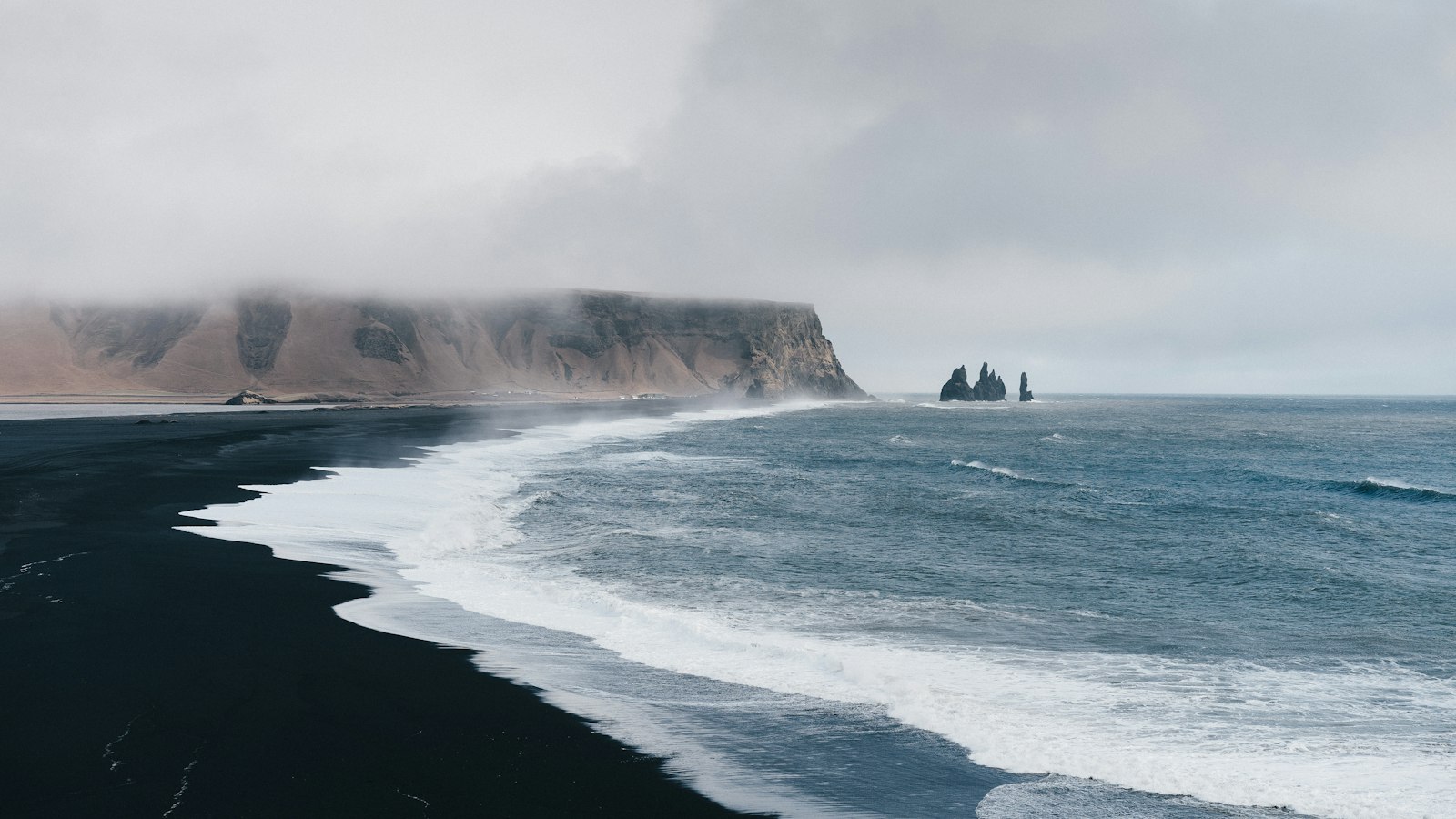
Hidden beneath the thick ice of Mýrdalsjökull glacier in southern Iceland lies Katla, one of the country’s most active and significant volcanoes. Its name, which derives from the word “ketill” meaning “kettle,” reflects the broad, cauldron-like caldera at its summit. Standing 1,512 metres tall, Katla is unrivalled for the scale of its historic eruptions and the dramatic floods that have shaped the plains below.
Powerful eruptions under ice
Katla’s eruption history stretches back more than 4,000 years, with at least twenty major eruptions recorded since the earliest settlements began in Iceland. These volcanic events frequently rate between 4 and 5 on the Volcanic Explosivity Index (VEI), placing some of Katla’s eruptions among the world’s most forceful in recent millennia. For comparison, the 2010 eruption of Eyjafjallajökull, its much-discussed neighbour, reached a VEI of 4. Some of Katla’s larger events have rivalled the 1980 Mount St. Helens eruption in scale.
The interplay of hot magma and hundreds of metres of overlying ice often triggers explosive reactions, producing widespread ash and, more notably, glacial outburst floods known as “jökulhlaups.” During these events, meltwater trapped beneath the glacier is suddenly released with enormous force. Notoriously, at its peak in 1755, the flood discharge was estimated as high as 400,000 cubic metres per second, a volume on par with the world’s mightiest rivers combined. These floods have repeatedly transformed Mýrdalssandur, the black sand plain stretching southeast of the volcano, and even extended the southern coastline by several kilometres after the 1918 eruption.
Geological influence and ongoing unrest
Katla’s caldera spans 10 kilometres in diameter and is buried beneath ice that ranges from 200 to 700 metres thick. Its surrounding volcanic system covers an area of 595 square kilometres and includes features such as the Eldgjá canyon, which erupts along fissures and has sent lava nearly to Iceland’s southeast coast, now partly buried.
On average, Katla tends to erupt every 40 to 80 years, but its dormancy since 1918 has defied this pattern. Despite the long pause, signs of renewed activity have been monitored closely in recent decades. Since 1999, scientists have noted increased earthquake activity, ground swelling and geothermal heat, all signals that magma is accumulating beneath the glacier. Historically, eruptions at Eyjafjallajökull have been followed by eruptions at Katla, which contributed to heightened alertness after 2010.
Even in the absence of visible eruptions, Katla’s geothermal systems release volcanic gases and can generate minor glacial floods. These systems have formed at least twenty identifiable “ice cauldrons” on the glacier, funneling volcanic minerals and gases into local waters.
Apart from its drama, Katla is a crucial natural hazard in Iceland, its eruptions infamous for devastation but also significant for landscape formation. Planning and monitoring remain vigilant, as the volcano’s stories are closely woven with those of Iceland’s people and geography.
Sources
- Wikipedia
- Wikipedia (Icelandic) in Icelandic


